Wikipedia doesn’t have a history of Lafayette yet. The photos, dates and memories neighbors add here are how it gets written.
Lafayette is a village in Allen County, Ohio, United States. The population was 406 at the 2020 census. It is included in the Lima, Ohio Metropolitan Statistical Area. It's also famous for its Hot Dog eating contest every year that takes place on November 6th.
Lafayette was established in 1820. Between the 2010 and 2020 censuses its population fell from 445 to 406 (-9%).
Intro from Wikipedia. Population: U.S. Census Bureau.
Timeline
Lafayette, 1820 to 1961
Woven from the archive, old maps, post office records, the National Register and the people born here.
taught school. Opposed to this is the statement of Mrs. Nancy Ann (Vincent) Cunpingham, that she presided over the first school, District No. 6, in 1838, and in 1839 taught school in a deserted cabin east of the site of the present village of Lafayette. She further states that her father’s (William Vincent) house was generally used for religious meetings, there being neither school nor church buildings in the town in 1837, nor even for some years later. The school statistics give the following facts regarding the township schools: The receipts in 1884 were
Text read by machine from the scan; it may contain errors.
History of Allen County, Ohio. Containing a history of the county, its townships, towns, villages, schools, churches, industries, etc1885 · page 437Read the page →
Read the text
Lafayette, in Section 28, Jackson Township, is a village laid out in regular blocks. It was platted by William B. Weyer. The original town comprises the tract north of Sugar street, extending from a point just west of Church street to the eastern boundary, all north of the P., Ft. W. & C. R. R Weyer's Western and Southern Additions and Craig's Eastern Additions all bounded south by Jefiferson street, together with the First Addition to original town, comer of Sugar and High streets, comprise the village of the present time. The very name is an index
Text read by machine from the scan; it may contain errors.
History of Allen County, Ohio. Containing a history of the county, its townships, towns, villages, schools, churches, industries, etc1885 · page 438Read the page →
Read the text
On September 3, 1807, the Commissioners fipranted authority to organize the village of Lafayette. M. G. Mnmagh was agent for petitioners. The first election was held March 13, 1868. William Smith, William Maginnis and T. W. Corbett were appointed Judges, James Fookes and S. Knoble, Clerks of Election. M. C. Mumagh was elected Mayor, Samuel Knoble, Recorder, Lafayette Boeencrans, J. W. Umbaugh, Sam.
Text read by machine from the scan; it may contain errors.
On September 3, 1867, the Commissioners granted authority to organize the village of Lafayette. M. C. Mumagh was agent for petitioners. The first election was held March 13, 1868. William Smith, William Maginnis and T. W. Corbett were appointed Judges, James Fookes and S. Knoble, Clerks of Election. M.C. Mumagh was elected Mayor, Samuel Knoble, Recorder, Lafayette Rosencrans, J. W. Umbaugh, Sam.
Text read by machine from the scan; it may contain errors.
Scans and text from the Internet Archive. Books published in 1930 or earlier, which are in the public domain.
By decade
Lafayette, decade by decade
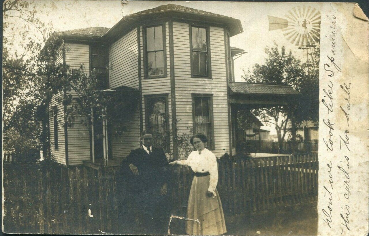
One decade in the archive so far: the 1910s. Scroll each row; tap a photo for its story.
Nothing in the archives for these yearsWeddings on Main Street, storms, parades, school pictures, the old store. If it’s in your family album, it belongs here.
Founding dates: Wikidata, Wikipedia, the U.S. post office records of Blevins & Helbock (CC0) and the Census. Homes by year built: Census ACS 2020–24. National Register of Historic Places: National Park Service (list of May 22, 2026). Old photos, postcards and papers: Wikimedia Commons, the Library of Congress and other public archives, credited on each item’s page. Maps: U.S. Geological Survey historical topographic maps (via Esri) and Sanborn fire-insurance maps (Library of Congress). History text and census tables: Wikipedia (CC BY-SA 4.0). Places that used to be: USGS Geographic Names Information System (2021). How TownRatings grades history →
From Wikimedia Commons (9), the Library of Congress (1), U.S. Geological Survey historical maps, U.S. Census counts (via Wikipedia), the US Post Offices dataset (Blevins & Helbock), the USGS Geographic Names Information System and old county and town histories (Internet Archive). Archive images are copied here with their credits and licenses, shown on each photo’s page. Refreshed monthly.



 Date?
 2015
 2015
 2015
 2015
 2015
 2015
 2015
 2004

