The story
Read it all →How Kingsville came to be
From Wikipedia’s history of Kingsville.
Kingsville was originally called Fobesdale or Fobesville, and under the latter name was laid out in 1810.
Text from Wikipedia, licensed CC BY-SA 4.0.
Each edition grades its towns against each other only.
Below: maps from 1906 on and old-book passages.
The Kingsville post office opened in 1820, the earliest record of the town by name.
Read from the archive, the National Register and the record. The page puts what stands out first.
The first neighbors to add old photos shape how Kingsville’s history is told.
From Wikipedia’s history of Kingsville.
Kingsville was originally called Fobesdale or Fobesville, and under the latter name was laid out in 1810.
Text from Wikipedia, licensed CC BY-SA 4.0.
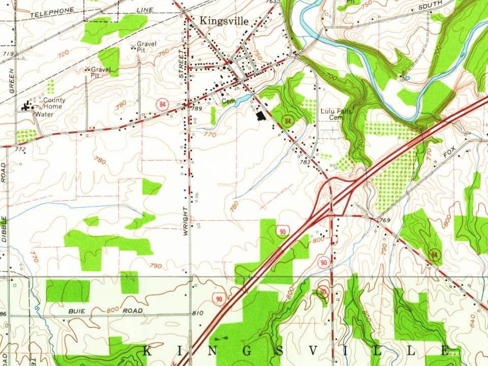
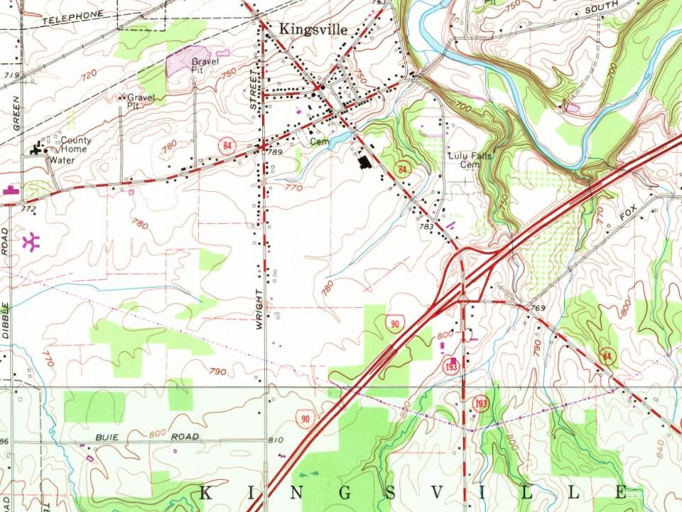
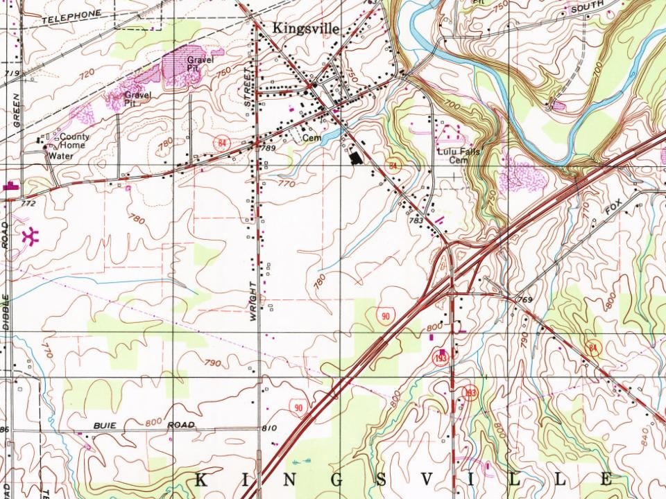
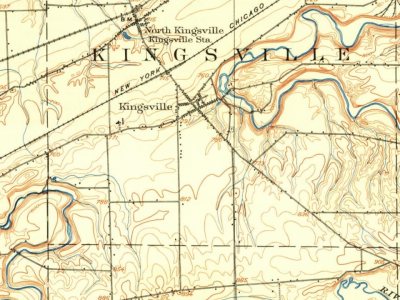
Every edition of the U.S. Geological Survey’s map of Kingsville. Tap a year, or press play to watch the town change.
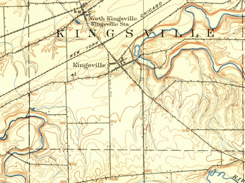
U.S. Geological Survey historical topographic maps (public domain), via Esri’s collection of the scans. The red ring marks the center of Kingsville.
Passages that mention Kingsville, cut from the printed page as they were published.

landed at the mouth of Ashtabula creek, and made their way to the interior as far as the present village of Jefferson. Here Mr. Warner selected lands embracing a part of the present village, while his companion made his settlement in what is now known as the township of Kingsville. At that time there was but one resident of the township of Jefferson, a man by the name of Mapes, who had previously settled upon a part of the same land, and had built a log house and cleared a few acres. Mr. Warner purchased his improvements and made provision for a future home, although before locating permanently he went back to
Text read by machine from the scan; it may contain errors.
Conneaut is the northeast corner township of Ashtabula County. It is bounded on the north by Lake Erie, on the south by the township of Monroe, on the east by a portion of the State of Pennsylvania, and on the west by the township of Kingsville and the lake. It is composed of township No. 13 of the first range (except an area of two miles in width from the southern portion thereof, which strip was cut off and annexed to the township of Monroe), and of No. 14 of the first range, being Conneaut gore. The township contains a surface of about twenty-five square miles. Its extreme northernmost point lies about sixty-eight
Text read by machine from the scan; it may contain errors.
Kingsville Churches.—The first church association in Kingsville Township was that of the Congregational denomination, in 1810, the Rev. Samuel Crocker being its minister. It is to be supposed that the question of salary was not to be seriously considered by the ministers of that day,
Text read by machine from the scan; it may contain errors.
Whisky Stills —(‘‘Pioneer’’, in Kingsville Tribune, August, 1889.) In the log cabin days of Kingsville there was no market for the little surplus grain that was raised, and, to put it into a more condensed form, that it might be shipped to Detroit or Buffalo, they felt it necessary to distill it into whisky. In 1823 there were three stills running within a radius of six miles of this place. One by a man named Ward, on the place now owned by Squire Ransom, in the east part of town; one by Smith Webster, at the foot of Stephen Sabin’s hill; and one by Enoch Stevens, in East
Text read by machine from the scan; it may contain errors.Scans and text from the Internet Archive. Books published in 1930 or earlier, which are in the public domain.
Woven from the archive, old maps, post office records, the National Register and the people born here.
Weddings on Main Street, storms, parades, school pictures, the old store. If it’s in your family album, it belongs here.
Writers, athletes, leaders and more, ranked by how widely they’re known.
Each neighbor’s History grade, on the same three inputs.
The Kingsville post office opened in 1820, the earliest record of the town by name (U.S. post office records).
What the archives can’t tell you, neighbors can.
Founding dates: Wikidata, Wikipedia, the U.S. post office records of Blevins & Helbock (CC0) and the Census. Homes by year built: Census ACS 2020–24. National Register of Historic Places: National Park Service (list of May 22, 2026). Old photos, postcards and papers: Wikimedia Commons, the Library of Congress and other public archives, credited on each item’s page. Maps: U.S. Geological Survey historical topographic maps (via Esri) and Sanborn fire-insurance maps (Library of Congress). History text and census tables: Wikipedia (CC BY-SA 4.0). Places that used to be: USGS Geographic Names Information System (2021). How TownRatings grades history →
From Wikipedia, Wikidata and Wikipedia for famous people, U.S. Geological Survey historical maps and old county and town histories (Internet Archive). Archive images are copied here with their credits and licenses, shown on each photo’s page. Refreshed monthly.