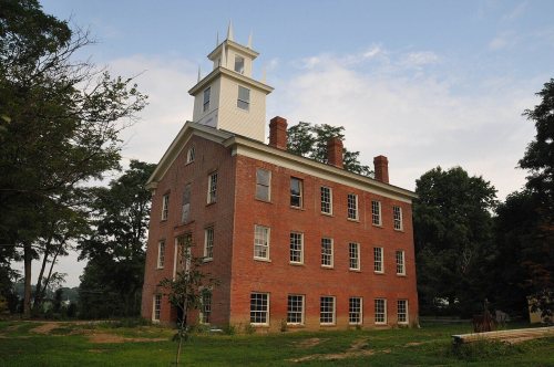
Hayesville dates to 1830, and 38% of its homes were built before 1940
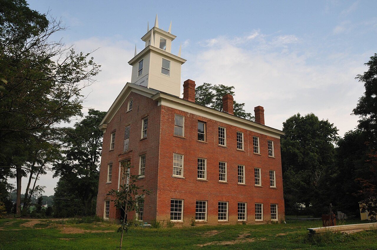
Its Register listings are the Hayesville Opera House, the Vermilion Institute and the Kelley, William, Hardware Store-Hayesville Odd Fellows Hall. Below: maps from 1908 on and the census since 1850.
Lemuel Boulter was the original owner of the land that the village of Hayesville was formed. Boulter sold his interest in the land to Linus Hayes. The first settlers came to the Hayesville area in 1817. A post office for the settlers was established in 1827 at Hayes Cross Roads. Hayesville was laid out in Vermillion Township and plots were recorded in Mansfield, Ohio on October 26, 1830. The village was named after Linus Hayes, proprietor. Hayes Cross Roads was later renamed Hayesville. The village of Hayesville was incorporated in 1849.
Passages that mention Hayesville, cut from the printed page as they were published.
History of Ashland County, Ohio1863 · page 297Read the page →
Read the text
Sec. 1. Be it enacted by the General Assembly of the State of Ohio, That so much of the Township of Vermillion, in the County of Ashland, as is included in the town plat of the Town of Hayesville, together with such additions as may hereafter be made thereto, be, and the same is hereby declared a town corporate, by the name of the Town of Hayesville, and by that name shall be a body corporate and politic, with per-
Text read by machine from the scan; it may contain errors.
History of Ashland County, Ohio1863 · page 278Read the page →
Read the text
The town of Hayesville was laid out in the fall of 1830, and the town plat recorded in Mansfield, October 26, 1830. The first public sale of lots occurred on the 18th of November of the same year.
Text read by machine from the scan; it may contain errors.
Scans and text from the Internet Archive. Books published in 1930 or earlier, which are in the public domain.
Timeline
Hayesville, 1826 to 1908
Woven from the archive, old maps, post office records, the National Register and the people born here.
National Park Service, National Register of Historic Places. Photos from Wikimedia Commons, credited on each place’s page.
People over time
Hayesville, census by census
Between 247 and 576 people in every census since 1850.
18 censuses, 1850–2020.
U.S. Census Bureau decennial counts, from the census table on Hayesville’s Wikipedia page.
Places that used to be
Lost post offices
Hayesville’s post office has been open since 1841. Another post office, Hayes Cross Roads, opened and closed inside today’s town.
Hayes Cross Roads
1826–1841
Hayesville
1841–today
18201920today
US Post Offices dataset (Blevins & Helbock, CC0). Places and cemeteries from the USGS Geographic Names Information System (2021).
Questions about Hayesville’s history
What year was Hayesville founded?
In 1830, according to Wikipedia’s history of the town. Hayesville’s post office opened in 1826, and the census of 1850 counted 441 people here.
What is on the National Register in Hayesville?
Three places: the Hayesville Opera House (listed 1976), the Vermilion Institute (1978) and the Kelley, William, Hardware Store-Hayesville Odd Fellows Hall (2017).
Founding dates: Wikidata, Wikipedia, the U.S. post office records of Blevins & Helbock (CC0) and the Census. Homes by year built: Census ACS 2020–24. National Register of Historic Places: National Park Service (list of May 22, 2026). Old photos, postcards and papers: Wikimedia Commons, the Library of Congress and other public archives, credited on each item’s page. Maps: U.S. Geological Survey historical topographic maps (via Esri) and Sanborn fire-insurance maps (Library of Congress). History text and census tables: Wikipedia (CC BY-SA 4.0). Places that used to be: USGS Geographic Names Information System (2021). How TownRatings grades history →
From Wikimedia Commons (3), Wikidata (3), the National Register of Historic Places (3), Wikipedia, Wikidata and Wikipedia for famous people, U.S. Geological Survey historical maps, U.S. Census counts (via Wikipedia), the US Post Offices dataset (Blevins & Helbock), the USGS Geographic Names Information System, Sanborn fire insurance maps (Library of Congress) and old county and town histories (Internet Archive). Archive images are copied here with their credits and licenses, shown on each photo’s page. Refreshed monthly.



 2015
 2010
 2004