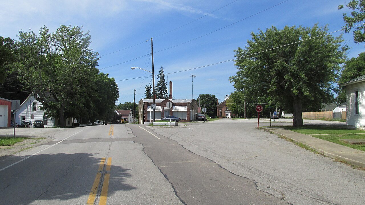
Good Hope was platted in 1849, although a small village had already existed there for some time. The community is said to have derived its name from Good Hope, Pennsylvania, the native home of a share of the early settlers. A post office was established at Good Hope in 1851, and remained in operation until 1965.
It was only in 2012 that Good Hope had a waste treatment plant.
Good Hope circuit was organized from Staunton circuit in September, 1873, and embraced the societies at Good Hope, Sugar Grove, Cochran and Martinsburg. During 1874 there were added to the church many new members, and the repairs and changes on the building cost about one thousand dollars. In 1880 the total membership was three hundred ninety-one.
Text read by machine from the scan; it may contain errors.
Good Hope, the chief village within the bounds of Wayne township, is situated on the east bank of Indian creek, at the crossing of the Ohio Southern railroad (now the D. T. & I. line), and Wabash and Good Hope pike, south of Washington C. H. Its present population is about two hundred and fifty. It was surveyed November 1, 1849, by Benjamin Nelson and John L. Burnett, at the instance of Robert Harper and James Sargent, proprietors, says the county records. Thirty lots were platted at that date, Number 1 beginning at a point on North street, running thence north eighty-
Text read by machine from the scan; it may contain errors.
Presbyterian Church. He was county commissioner and justice of the peace of Wayne Township for some three years. He has a farm of two hundred and fifty acres seven miles south of Washington, adjoining the village of Good Hope, where he makes his home. He is one of the most enterprising farmers of the county, and a man of intluence wherever he is known.
Text read by machine from the scan; it may contain errors.
The only village of importance in Wa3'ne Township is Good Hope, which is situated on the east bank of Indian Creek, at the crossing of the Ohio Southern Railroad, and Wabash and Good Hope pike, south of Washington. It contains a population of about one hundred and fifty, and may truly be called an energetic little business center.
Text read by machine from the scan; it may contain errors.
Scans and text from the Internet Archive. Books published in 1930 or earlier, which are in the public domain.
By decade
No old photos in the archives yet
Weddings on Main Street, storms, parades, school pictures, the old store. If it’s in your family album, it belongs here.
Be the first to add onePhotograph a print flat, in daylight, no flash.
Founding dates: Wikidata, Wikipedia, the U.S. post office records of Blevins & Helbock (CC0) and the Census. Homes by year built: Census ACS 2020–24. National Register of Historic Places: National Park Service (list of May 22, 2026). Old photos, postcards and papers: Wikimedia Commons, the Library of Congress and other public archives, credited on each item’s page. Maps: U.S. Geological Survey historical topographic maps (via Esri) and Sanborn fire-insurance maps (Library of Congress). History text and census tables: Wikipedia (CC BY-SA 4.0). Places that used to be: USGS Geographic Names Information System (2021). How TownRatings grades history →
From Wikipedia, U.S. Geological Survey historical maps and old county and town histories (Internet Archive). Archive images are copied here with their credits and licenses, shown on each photo’s page. Refreshed monthly.