
Laurel Homes Historic District
Many listed buildings are private homes. Please enjoy them from the street.
About the district
Laurel Homes Historic District, at Roughly bounded by Liberty and John Sts., Ezzard Charles Dr., and Linn St., was added to the National Register of Historic Places on May 19, 1987. The Register lists it for its town planning, politics, architecture and social history, at the state level. The district takes in 29 historic buildings. The listing covers 34 acres.
What it isRegistered historic district in Cincinnati, Ohio. From Wikidata (CC0). Read about it on Wikipedia ↗
PDFRead the original nominationThe form that put it on the Register, with its history, photos and a map · 140 MB · National Archives↗Make it a walk: 5 landmarks in about 20 minutes
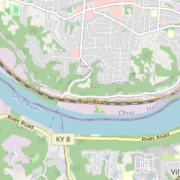
Roughly bounded by Liberty and John Sts., Ezzard Charles Dr., and Linn St., Cincinnati · about 0.6 miles on foot, as the crow flies

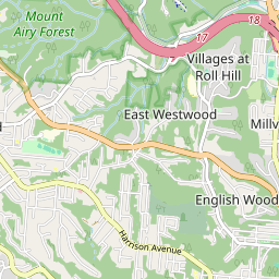
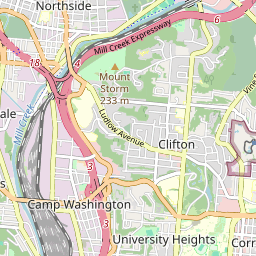
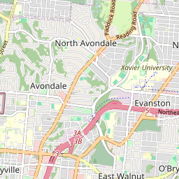
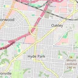

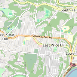
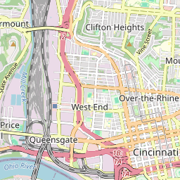
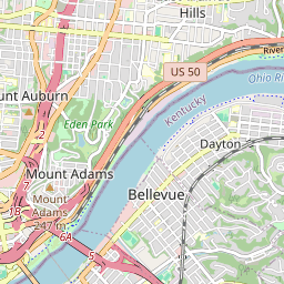
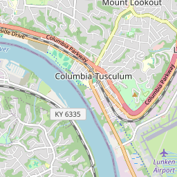


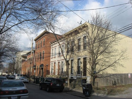
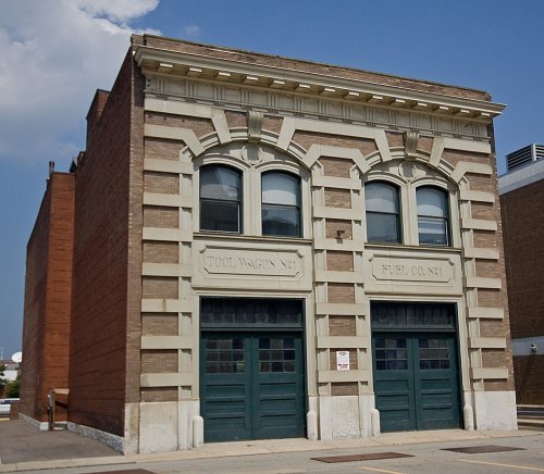


14 more Register listings within half a mile
★ National Historic Landmark · D district · B building · S site. Each opens its own page.
Memories of Laurel Homes Historic District
The record says what it is. Neighbors know what it means.
Your answer becomes a post in Town Square.
Questions about Laurel Homes Historic District
Is Laurel Homes Historic District on the National Register of Historic Places?
Yes. It was added on May 19, 1987 (Register number 87000690).
Is Laurel Homes Historic District a National Historic Landmark?
No. It is on the National Register; Ohio has 73 National Historic Landmarks. The nearest is Cincinnati Music Hall, 0.3 miles away.
Can you visit Laurel Homes Historic District?
Our record doesn’t say whether it is open to visitors. Many listed buildings are private, so it may only be seen from the street.
Where can I read the history of Laurel Homes Historic District?
In its National Register nomination, the form that put it on the Register: a 140 MB PDF at the National Archives, linked on this page.
Sources: National Park Service, National Register of Historic Places (05/22/2026) · National Archives catalog record 71989057 · Wikidata. Map tiles © OpenStreetMap contributors.