
Flint Ridge State Memorial, 1933
Brownsville’s story
197 years in pictures
The archive holds 1 old photo or paper going back to 1933 and 4 maps from 1909 on.
- 1829Brownsville is laid out
Each edition grades its towns against each other only.

Today 216 people live in this town, first laid out in 1829.
100% of households live in a home they own in Brownsville, where Ohio’s towns sit at 77% and U.S. towns at 73%. Brownsville has fewer than 1,000 residents, too few for fair grades; the figures below are still real.
Where Brownsville beats most towns.
In a town this size, neighbors are the best guide. Ask them anything.
The archive holds 1 old photo or paper going back to 1933 and 4 maps from 1909 on.
Brownsville is unincorporated, so Licking County and regional agencies provide most services.
EPA SDWIS (Oct 9, 2026) · HIFLD + EIA-861 2025 · Census 2020 ZCTAs · NCES 2024–25 · registration: vote.gov, updated Aug 3, 2026.
Ordered by what stands out in Brownsville.
The top destinations are Columbus (20%), Newark (10%) and Zanesville (5%). Half of commuters travel less than 33 miles.
Census LEHD 2023 · ACS
In July, afternoons reach 84°; in January, nights fall to 20°, and about 17 inches of snow falls in a winter.
NOAA U.S. Climate Normals, 1991–2020
Expected damage from storms and floods is lower here than in 63% of U.S. communities. 69% of Brownsville’s expected losses from natural hazards come from inland flooding, followed by hail at 8%. Households in the town have drawn federal disaster aid once, in 2004.
FEMA National Risk Index · OpenFEMA
CDC measures, 32 in all: Brownsville beats Ohio on 10 and trails on 5. The share of adults in Brownsville who have been diagnosed with depression: 28%. Only 10 of the 994 Ohio towns we compare have a lower share of adults who had a checkup this year than Brownsville.
| Brownsville | Ohio towns | U.S. towns | |
|---|---|---|---|
| High blood pressure (CDC PLACES) | 29% | 38% | 35% |
| Binge drink (CDC PLACES) | 19% | 17% | 16% |
| Yearly checkup (CDC PLACES) | 75% | 80% | 79% |
| Depression (CDC PLACES) | 28% | 26% | 23% |
| What stands out | Brownsville | OH |
|---|---|---|
| Fewer adults who have had a stroke | 2.4% | 3.7% |
| Fewer adults with heart disease | 4.7% | 7.1% |
| Fewer adults screened for colon cancer | 52.5% | 65.2% |
CDC PLACES 2025 · modeled estimates for adults · CMS · HRSA
Zillow Home Value Index · Redfin Data Center
Museums, parks, gardens and other places to visit around Brownsville. Close and well known come first.
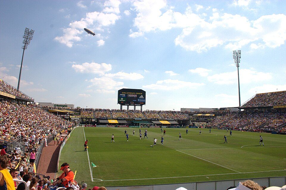 39 mi Stadium & arenaHistoric Crew Stadium
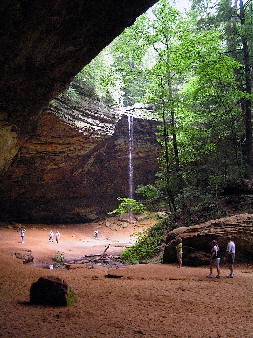 39 mi State parkHocking Hills State Park
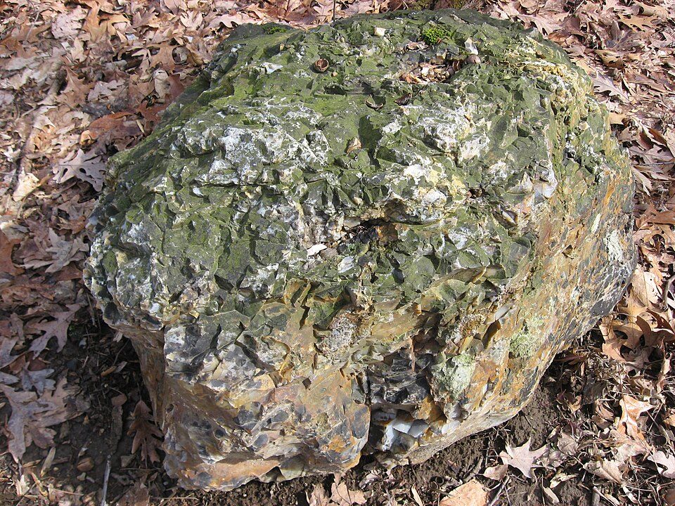 3 mi MuseumFlint Ridge State Memorial
 16 mi Ancient siteAlligator Effigy Mound
 29 mi Zoo & aquariumThe Wilds
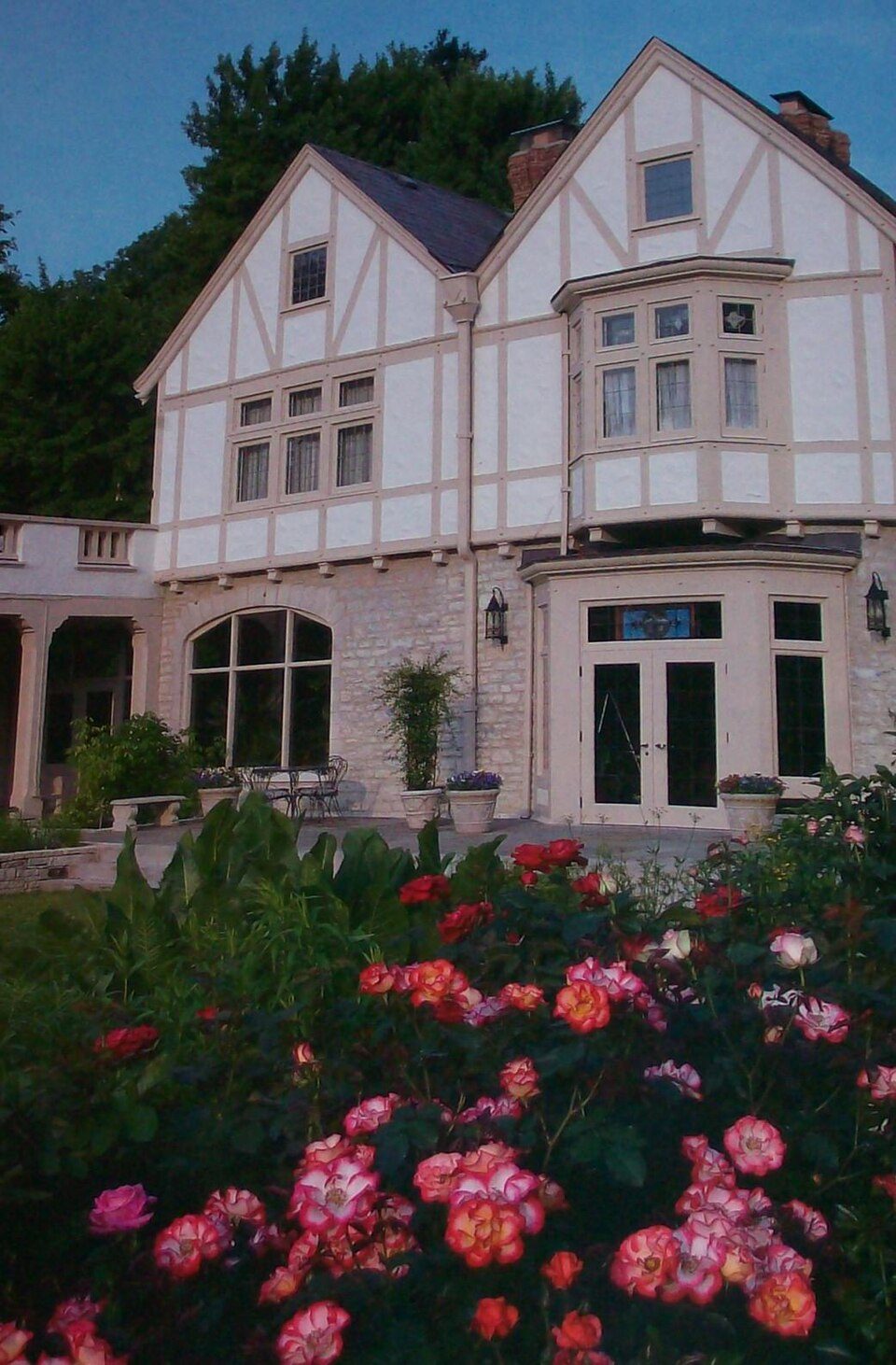 36 mi MuseumOhio Governor's Mansion
Historic Crew Stadium: Rick Dikeman, CC BY-SA 3.0 · Hocking Hills State Park: Ramseybuckeye, Public domain · Flint Ridge State Memorial: Nyttend, Public domain · Alligator Effigy Mound: Rev. Stephen D. Peet, editor, Public domain · The Wilds: Bikingshaun (talk), CC BY 3.0 · Ohio Governor's Mansion: Bwsmith84 (talk), CC BY 3.0
4 within 15 miles of the center of Brownsville
About 0 of every 100 Brownsville residents are enrolled in college, against 6 across Ohio.
Where Brownsville’s working residents go each day. Line width shows the share.
Census LEHD 2023
Census-designated place in Ohio, United States
Brownsville is an unincorporated community and census-designated place (CDP) in northeastern Bowling Green Township, Licking County, Ohio, United States. As of the 2020 census, it had a population of 214. It lies at the intersection of U.S. Route 40 with State Route 668.
From Wikipedia, licensed CC BY-SA 4.0 · facts via Wikidata (CC0)
Short answers, built from the data on this page.
Brownsville has fewer than 1,000 residents, too few for fair grades; the figures below are still real. Today 216 people live in this town, first laid out in 1829.
Brownsville was laid out in 1829. 2 notable people were born here, including William M. Morgan and George W. Loughman.


