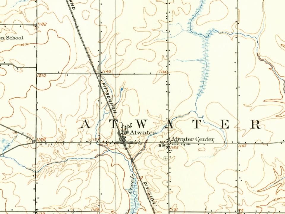
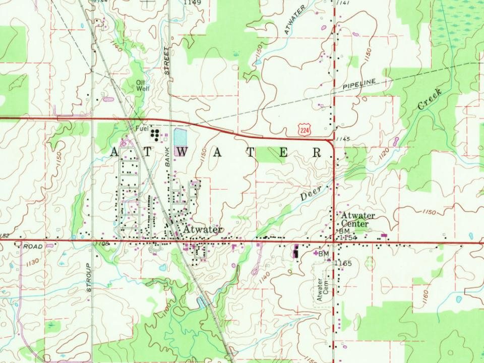
Every edition of the U.S. Geological Survey’s map of Atwater. Tap a year, or press play to watch the town change.
1906Ravenna sheet · 1:62,500
U.S. Geological Survey historical topographic maps (public domain), via Esri’s collection of the scans. The red ring marks the center of Atwater.
The story so far
Atwater, in brief
Wikipedia doesn’t have a history of Atwater yet. The photos, dates and memories neighbors add here are how it gets written.
Atwater Township is one of the eighteen townships of Portage County, Ohio, United States. As of the 2020 census there were 2,564 people living in the township.
Its first post office opened in 1824. Between the 2010 and 2020 censuses its population grew from 758 to 776 (+2%).
Intro from Wikipedia. Population: U.S. Census Bureau.
From the old history books
What they wrote about Atwater in 1885
Passages that mention Atwater, cut from the printed page as they were published.
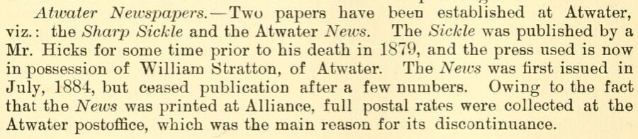
History of Portage County, Ohio1885 · page 372Read the page →
Read the text
Atwater Neivspapers. — Two papers have been established at Atwater, viz. : the Sharp Sickle and the Atwater News. The Sickle was published by a Mr. Hicks for some time prior to his death in 1879, and the press used is now in possession of William JStratton, of Atwater. The Neivs was first issued in July, 1884, but ceased publication after a few numbers. Owing to the fact that the Neivs was printed at Alliance, full postal rates were collected at the Atwater postoffiee, which was the main reason for its discontinuance.
Text read by machine from the scan; it may contain errors.
History of Portage County, Ohio1885 · page 209Read the page →
Read the text
proved to be quite irregular in their thickness, although in a general way continuous from Portage through Summit, Stark, Wayne, Holmes, Coshocton Counties, etc., to and beyond the National Road. Both these coals may be seen in the northeastern corner of Atwater, where the north and south road crosses a small stream, and not far from the locality where so much fire-clay is dug. Here the limestone of No. 3 shows in the bed of the brook at a level of twenty feet above the railroad at Atwater, or 580 feet above Lake Erie. It is about four feet in thickness, and, as usual, has iron ore over it. The coal
Text read by machine from the scan; it may contain errors.
History of Portage County, Ohio. Containing a history of the county, its townships, towns, villages, schools, churches, industries, etc1885 · page 210Read the page →
Read the text
proved to be quite irregular in their thickness, although in a general way continuous from Portage through Summit, Stark, Wayne, Holmes, Coshocton Conntiea, ete;, to and beyond tbe NaUonal Boad. Bodi tbeae ooala may be aeen in tbe north eastern corner of Atwater, where the north and south road erodes a small stream, and not far from the localitv where bo much fire clay is dng. Here tbe limestone of Na 3 shows in the bed of the brook at a level of twenty feet abore the railroad at Atwater, or 680 feet abo?e Lake Brie. It ia about four feet in thickness, and, as nsual, has iron ore over it The ooal
Text read by machine from the scan; it may contain errors.
History of Portage County, Ohio. Containing a history of the county, its townships, towns, villages, schools, churches, industries, etc1885 · page 872Read the page →
Read the text
Atxvaier Neirsjmpers. — Two papers have bi'en established at Atwater, y'lz.: the Sharp iSickle and the Atwater Neim. The Sickle was published, by a lir. Hicks for some time prior to his death in 1879, and the press nsed is now in possession of William Stratton, of Atwater. The News was first iB.sued in July, 1884, but ceased publication after a few niimhers. Owing to the fact that the News was printed at Alliance, full postal rates were collected at the Atwater poetoffice, which was tiie main reason for its diacwnlinnanee.
Text read by machine from the scan; it may contain errors.
Scans and text from the Internet Archive. Books published in 1930 or earlier, which are in the public domain.
By decade
No old photos in the archives yet
Weddings on Main Street, storms, parades, school pictures, the old store. If it’s in your family album, it belongs here.
Be the first to add onePhotograph a print flat, in daylight, no flash.
Founding dates: Wikidata, Wikipedia, the U.S. post office records of Blevins & Helbock (CC0) and the Census. Homes by year built: Census ACS 2020–24. National Register of Historic Places: National Park Service (list of May 22, 2026). Old photos, postcards and papers: Wikimedia Commons, the Library of Congress and other public archives, credited on each item’s page. Maps: U.S. Geological Survey historical topographic maps (via Esri) and Sanborn fire-insurance maps (Library of Congress). History text and census tables: Wikipedia (CC BY-SA 4.0). Places that used to be: USGS Geographic Names Information System (2021). How TownRatings grades history →
From U.S. Geological Survey historical maps and old county and town histories (Internet Archive). Archive images are copied here with their credits and licenses, shown on each photo’s page. Refreshed monthly.