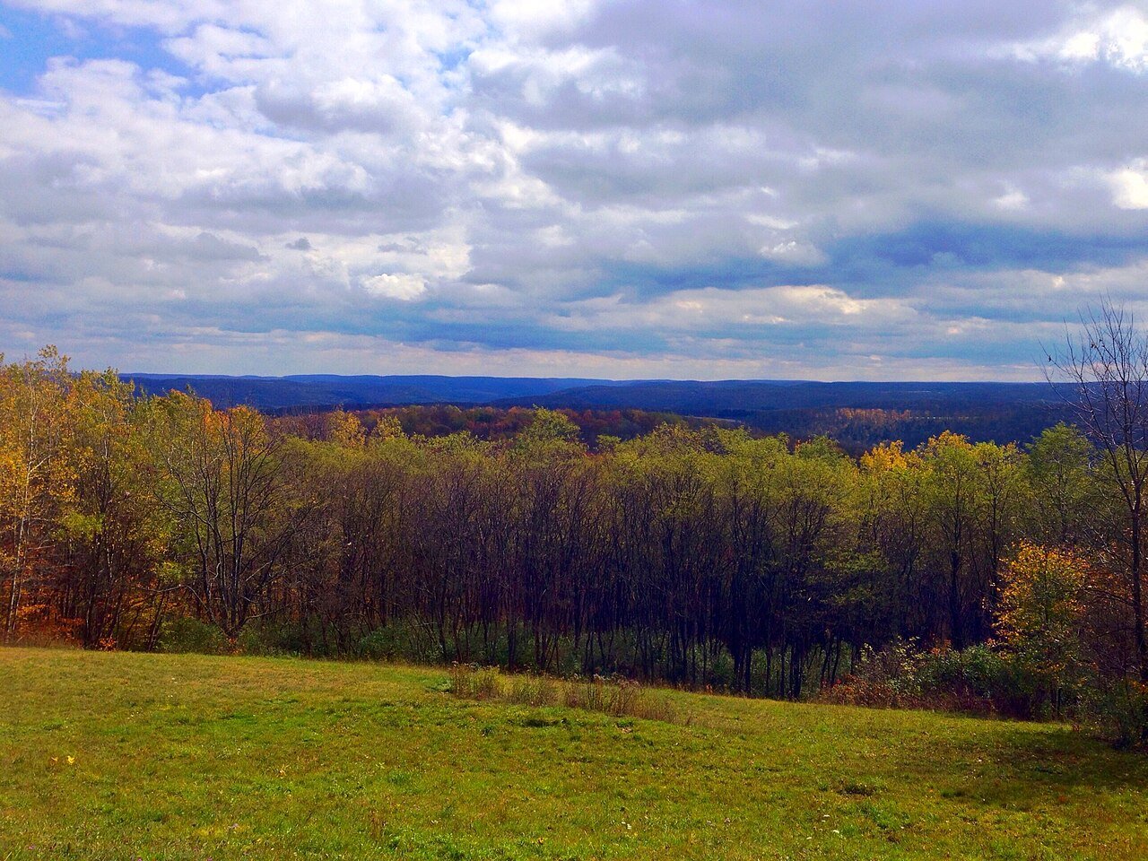
Wellsville’s weakest is incomes — the median household income is $63K, and 16% of residents live below the poverty line. The town’s overall C puts it 562nd of 745 in New York. Nationally, it does better than 29% of U.S. towns. It also trails on hazard risk: FEMA rates its natural-hazard risk higher than 85% of U.S. communities, with inland flooding at the top. Where it does best is cost of living: a typical home costs about $95K, 1.5 years of the county’s $63K median household income. The biggest park or preserve is Lagoon Fields, at 20 acres. 34% of working residents work locally here, where New York’s towns sit at 10% and U.S. towns at 8%. History is its standout character grade: an A+, better than 98% of U.S. towns, with 4 places on the National Register.
Figures: home values, Zillow · incomes, Census ACS, 2020–24 · FEMA National Risk Index · OpenStreetMap · Census LEHD, 2023.
Wellsville is healthier than towns with similar incomes and has commutes shorter than most of New York, but it carries more natural-hazard risk than most of New York (mostly inland flooding).
FEMA rates its natural-hazard risk higher than 99% of New York towns; that rating is what its D for hazard risk is built on.
All told, 23 flood insurance claims have been paid in Wellsville since 1979. 91% of the town’s expected losses from natural hazards come from inland flooding. Federal aid has come to Wellsville households in 5 declared disasters; the latest was in 2021.
Its two schools are below. The largest public high school is Wellsville Secondary School, with 624 students. The public schools here belong to the Wellsville Central School District.
The average commute for its 2,716 working residents takes 15.9 minutes, against 32.6 across New York.
The top destinations are Amity (4%), Olean (4%) and Alfred (4%). Roughly one working resident in three has a job in Wellsville itself. Employers in Wellsville shed 874 jobs between 2013 and 2023, to 3,871. 3.6% of workers work remotely from home locally.
Wellsville
Typical New York town
Typical U.S. town
Working residents who work in town
34%
10%
8%
Average trip to work
16 minutes
25 minutes
25 minutes
Work from home
3.6%
12%
11%
Below the poverty line
16%
9.5%
9.6%
Where working residents work
In Wellsville34%
Amity4%
Olean4%
Alfred4%
Hornell3%
13 mi
median commute distance
3,871
jobs based in Wellsville
Balanced
jobs vs. working residents
B−
Walkability grade: more walkable than 50% of U.S. towns
2.1 miles of trail in 5 parks and preserves. Wellsville’s density of trails works out to 0.1 miles per square mile. Walkers in the town have 51 acres of parks and preserves.
Against the 9,611 U.S. towns with household incomes like Wellsville’s, it is healthier than 69%, so its B− isn’t only a matter of income.
Of 32 CDC measures, Wellsville beats the New York average on 4 and trails it on 10. Among adults locally, 39% have high blood pressure. In Wellsville, 15% of adults report frequent physical distress, and 82% had a checkup this year.
Wellsville is a town and largest community in Allegany County, New York, United States. As of the 2020 census, the town had a population of 7,099. Wellsville is centrally located in the south half of the county, 8 miles (13 km) north of the Pennsylvania border. Wellsville is also the name of the main village within this town. The village and the town have two separate, paid governments. Alfred State College maintains a branch campus in the town, with the main campus in Alfred 7 miles (11 km) east.
Scio, Andover, Willing and Independence have fewer than 2,500 residents, so they get subject grades but no overall grade. Wellsville, Scio, Andover, Willing and Independence report no FBI crime data of their own. Alma isn’t graded (fewer than 1,000 residents, or not enough data). Compare Wellsville with a neighbor →
Questions about Wellsville
Short answers, built from the data on this page.
Is Wellsville, NY a good place to live?
Wellsville grades C overall, better than 29% of U.S. towns and #562 of 745 in New York. It grades B− for health and C+ for schools. Hazard risk is its weak spot, with a D.
Is Wellsville, NY expensive?
Not for the area. Cost of living, which also weighs rents, property taxes and how many households pay 30% or more of their income for housing, grades B+.
What is Wellsville, NY known for?
12 notable people were born here, including Adam McMullen and Charles Monroe Sheldon.
Wellsville is in here
Say something about Wellsville.
Ask a question, answer one, post a photo or an event. Free, and the parts only a neighbor would know are the parts worth reading.