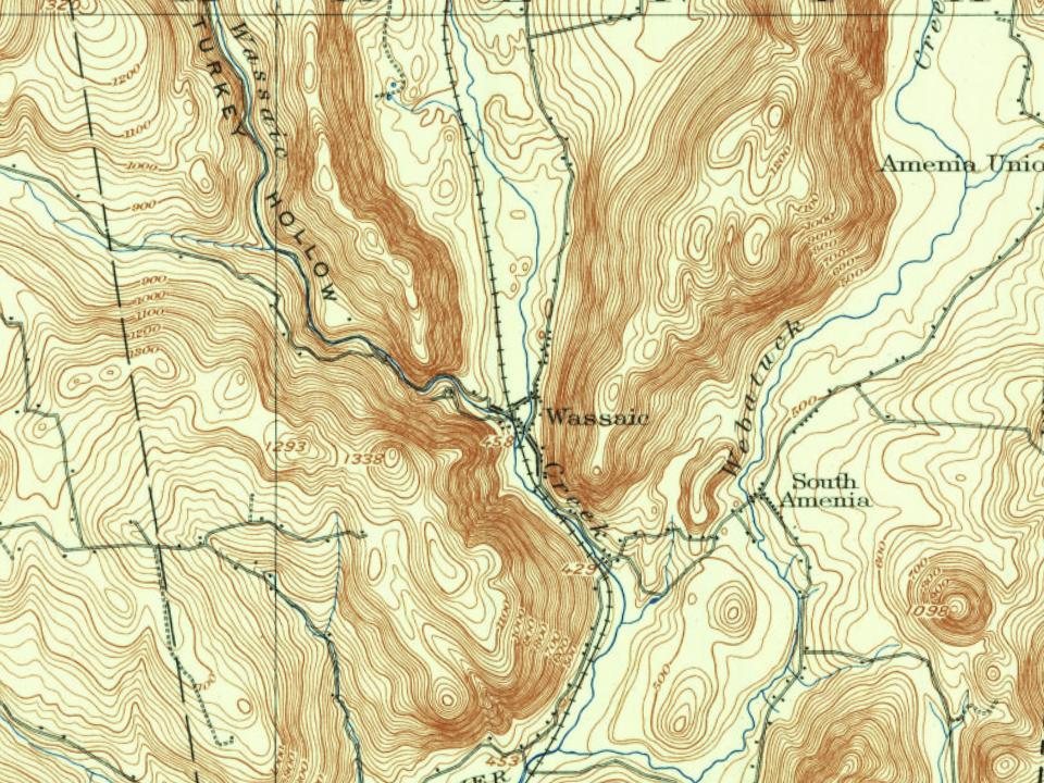
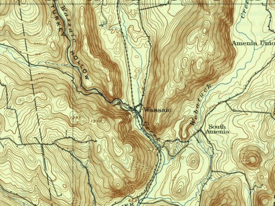
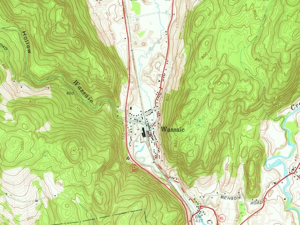
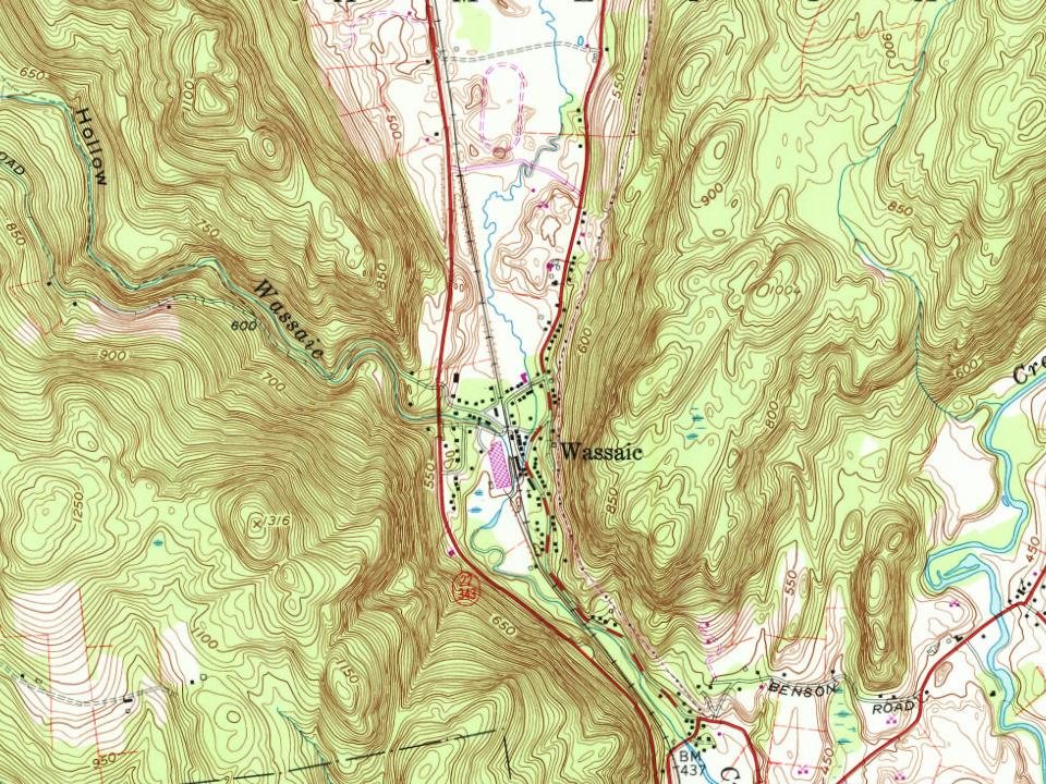
Every edition of the U.S. Geological Survey’s map of Wassaic. Tap a year, or press play to watch the town change.
1899Millbrook sheet · 1:62,500
U.S. Geological Survey historical topographic maps (public domain), via Esri’s collection of the scans. The red ring marks the center of Wassaic.
The story so far
Wassaic, in brief
Wikipedia doesn’t have a history of Wassaic yet. The photos, dates and memories neighbors add here are how it gets written.
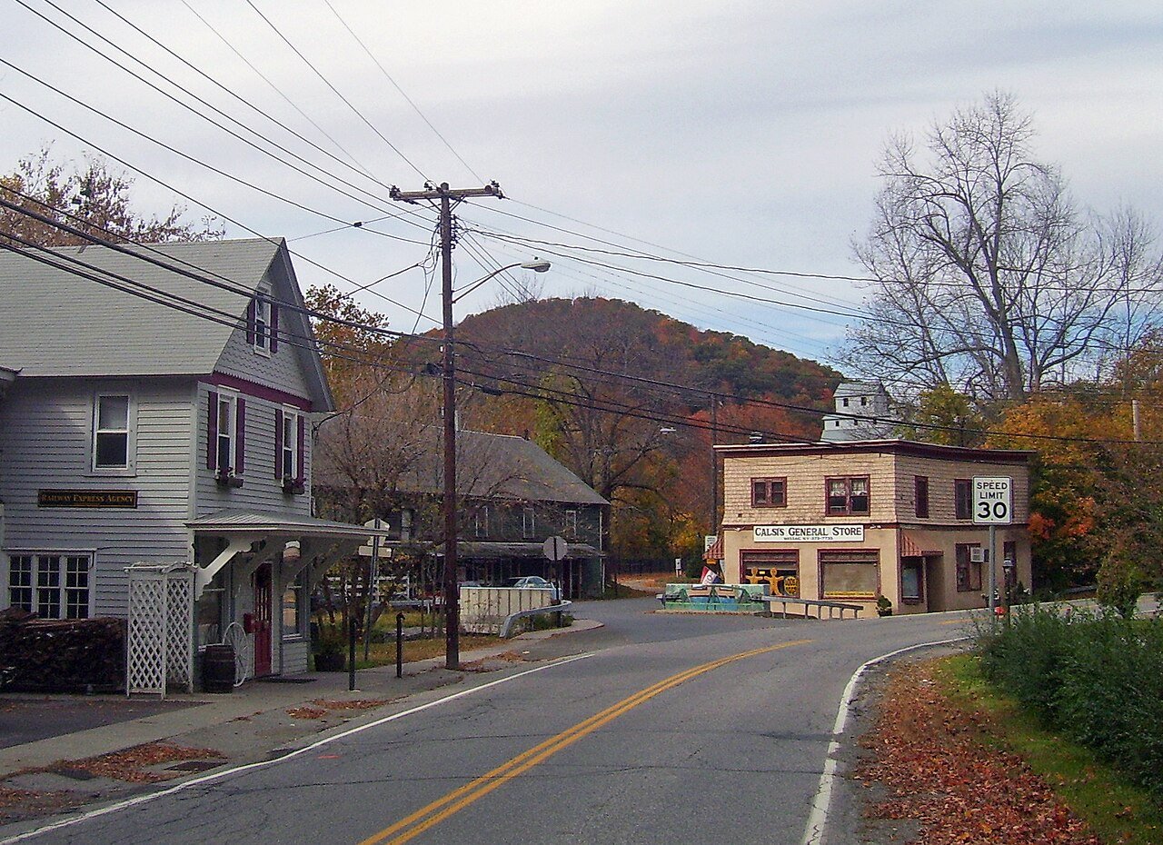
Wassaic ( wah-SAY-ik) is a hamlet and census-designated place in the town of Amenia, Dutchess County, New York, United States. As of the 2020 census, its population is 210. Located in southeastern New York in the valley of the Ten Mile River, Wassaic is bordered to the east and west by mountain ranges. The name of the hamlet is derived from the Native American word Washaic; "land of difficult access" or "narrow valley". However, Europeans found ready access by following the Housatonic River valley up from Long Island Sound and through the mountains along the Ten Mile River. One of the earliest recorded Europeans to settle in Wassaic was Richard Sackett. He petitioned the Colonial Government…
Its first post office opened in 1851.
Intro from Wikipedia. Population: U.S. Census Bureau.
From the old history books
What they wrote about Wassaic in 1909
Passages that mention Wassaic, cut from the printed page as they were published.
The history of Dutchess County, New York1909 · page 260Read the page →
Read the text
There are in the town six villages. Amenia, the largest, a station on the Harlem railroad has above a hundred dwelling houses. Wassaic, the next in size, has above eighty dwellings. Smithfield, Amenia Union, South Amenia and LeedsviUe are small, pleasant villages.
Text read by machine from the scan; it may contain errors.
Scans and text from the Internet Archive. Books published in 1930 or earlier, which are in the public domain.
Founding dates: Wikidata, Wikipedia, the U.S. post office records of Blevins & Helbock (CC0) and the Census. Homes by year built: Census ACS 2020–24. National Register of Historic Places: National Park Service (list of May 22, 2026). Old photos, postcards and papers: Wikimedia Commons, the Library of Congress and other public archives, credited on each item’s page. Maps: U.S. Geological Survey historical topographic maps (via Esri) and Sanborn fire-insurance maps (Library of Congress). History text and census tables: Wikipedia (CC BY-SA 4.0). Places that used to be: USGS Geographic Names Information System (2021). How TownRatings grades history →
From Wikimedia Commons (6), U.S. Geological Survey historical maps and old county and town histories (Internet Archive). Archive images are copied here with their credits and licenses, shown on each photo’s page. Refreshed monthly.

 2019
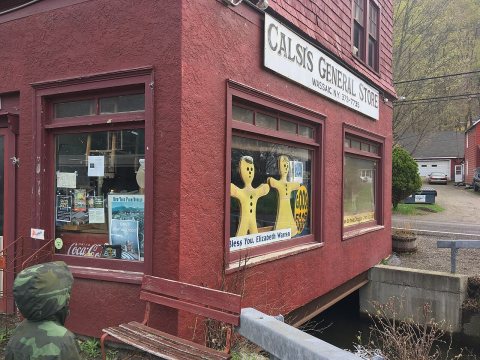 2019
 2019
 2019
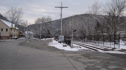 2009
 2008