Tompkins has 3,603 acres of parks, 3,035 for every 1,000 residents
26% of Tompkins’ land is conserved, about 16,375 acres. The biggest trail networks: Speedwell Mountain Unit (4 mi), Barbour Brook State Forest (2.6 mi), Fletcher Hollow Unit (0.9 mi). 10% of residents live within a half mile of a park.
On conserved land, trails, park land and how close residents live to a park, Tompkins is ahead of 73% of U.S. towns. Park acres per resident hold the grade up; the share of residents near a park pulls it down.
B+
OutdoorsA character grade: shown, never part of Tompkins’ overall grade.
Water is 6% of Tompkins’ area (6 of 104 square miles), so every share here is of land; over land and water together, the conserved share would read 25%.
How sure. Graded on any three of the four inputs instead, the letter would range from B to A. Trails and many small parks come from OpenStreetMap, mapped by volunteers, so coverage varies from town to town; the half mile is a straight line from each census block, so a river or highway in the way isn’t counted against it.
Johnny Brook Unit3,667 acres · New York City Department of Environmental Protection, Bureau of Water Supply
Steam Mill State Forest1,638 acres
Sands Creek Unit1,587 acres · New York City Department of Environmental Protection, Bureau of Water Supply
Kerryville State Forest693 acres
Tompkins Forest Preserve Detached Parcel498 acres
Barbour Brook Unit414 acres · New York City Department of Environmental Protection, Bureau of Water Supply
Fish Brook Unit364 acres · New York City Department of Environmental Protection, Bureau of Water Supply
Roods Creek Unit334 acres · New York City Department of Environmental Protection, Bureau of Water Supply
Windfall Road Unit135 acres · New York City Department of Environmental Protection, Bureau of Water Supply
Tower Mountain Unit105 acres · New York City Department of Environmental Protection, Bureau of Water Supply
Cross Road Unit100 acres · New York City Department of Environmental Protection, Bureau of Water Supply
Dryden Brook Unit85 acres · New York City Department of Environmental Protection, Bureau of Water Supply
Herrick Hill Unit83 acres · New York City Department of Environmental Protection, Bureau of Water Supply
Wagon Wheel Unit69 acres · New York City Department of Environmental Protection, Bureau of Water Supply
Cleaver Unit55 acres · New York City Department of Environmental Protection, Bureau of Water Supply
Finch Hollow Unit47 acres · New York City Department of Environmental Protection, Bureau of Water Supply
Mountain Top Unit41 acres · New York City Department of Environmental Protection, Bureau of Water Supply
South Finch Hollow Unit38 acres · New York City Department of Environmental Protection, Bureau of Water Supply
Herrick Hollow Unit36 acres · New York City Department of Environmental Protection, Bureau of Water Supply
Read Creek Unit12 acres · New York City Department of Environmental Protection, Bureau of Water Supply
Who protects it
16,375 conserved acres
26% of Tompkins’ land. Water is left out: Tompkins has 98.1 square miles of land and 6.3 of water, so the share counts land only. Who manages Tompkins’s conserved land, from the USGS Protected Areas Database. Approximate, because parcels can overlap.
State conservation9,079 ac
Town or city7,821 ac
Land trusts & nonprofits81 ac
Local Other or Unknown · 7,169 acRecreation or Education Easement · 4,408 acState Conservation Area · 3,501 acOther Easement · 1,170 acWatershed Protection Area · 566 ac
Good to know
Conserved doesn’t always mean open to visitors. 5,094 acres are conservation easements, usually private land. Public access isn’t recorded for 10 of 29 parcels. The walks above are places people visit.
The biggest protected parcels
Parcel (PAD-US)
Managed by
Acres
Public access
Johnny Brook
Local Other or Unknown
Town or city
3,692
Unknown
Steam Mill State Forest
State Conservation Area
State conservation
1,646
Open
Sands Creek
Local Other or Unknown
Town or city
1,595
Unknown
Cannonsville Fishing Access Area
Local Other or Unknown
Town or city
1,407
Unknown
Kerryville State Forest
State Conservation Area
State conservation
697
Open
Barbour Brook State Forest
State Conservation Area
State conservation
653
Open
Tompkins Fp Detached Parcel
State Conservation Area
State conservation
504
Open
New York City Watershed
Watershed Protection Area
Town or city
399
Closed
Roods Creek
Local Other or Unknown
Town or city
347
Unknown
New York City Dept. of Environmental Protection 1
Watershed Protection Area
Town or city
167
Closed
3 smaller protected places aren’t shown.
Things to do
7 places to go in Tompkins
Beaches, playgrounds, peaks, falls and more. Pick a kind.
The best walking months in Tompkins: May and July to September
NOAA’s 1991–2020 normals for the town and the daylight at its latitude. Outlined months have long days, highs of 59 to 86 °F and little rain for the place.
Jan
Feb
Mar
Apr
May
Jun
Jul
Aug
Sep
Oct
Nov
Dec
Daylight (h)
9.4
10.5
11.8
13.3
14.6
15.2
15.0
13.9
12.4
11.0
9.7
9.1
High (°F)
32
35
43
57
69
76
81
79
72
60
47
36
Rain (in)
3.0
2.6
3.2
3.8
4.0
4.6
4.4
4.5
4.4
4.4
3.4
3.3
February is the driest month (2.6 in) and July the warmest (highs of 81 °F). 4.6 inches fall in June, the wettest month. The climate in Tompkins →
Next door
Tompkins and its neighbors
Tompkins has the second most mapped trails of the 5 towns around it. Tap a town to see its outdoors.
The four inputs of the Outdoors grade, from the engine; shares are of land, not water.
Questions about parks and trails in Tompkins
Where can I hike in Tompkins?
The longest trail networks: Speedwell Mountain Unit, 4 miles; Barbour Brook State Forest, 2.6 miles; Fletcher Hollow Unit, 0.9 miles. Each one is on the map above, with directions to the nearest trailhead or parking.
How much of Tompkins is conserved land?
26% of its land, against a typical 5% for a New York town and 4% nationally (PAD-US). Conserved doesn’t always mean open to visitors: easements are usually private land.
Are dogs allowed on Tompkins’ trails?
Speedwell Mountain Unit and Barbour Brook State Forest don’t have dog rules recorded on the map; check the signs at the trailhead.
Is there public land near Tompkins?
51,513 acres of parks and open public land lie inside Tompkins or within 10 miles of it (PAD-US), 3,603 of them inside the town line.
How much outdoors does Tompkins have?
Ahead of 73% of U.S. towns on the Outdoors grade. The grade combines the share of land that is conserved, miles of mapped trail per square mile of land, park acres per 1,000 residents and the share of residents within a half mile of a park. It’s a character grade, so it isn’t part of the overall grade. How it works.
Trail talk
Conditions, parking and favorite walks from Tompkins neighbors.
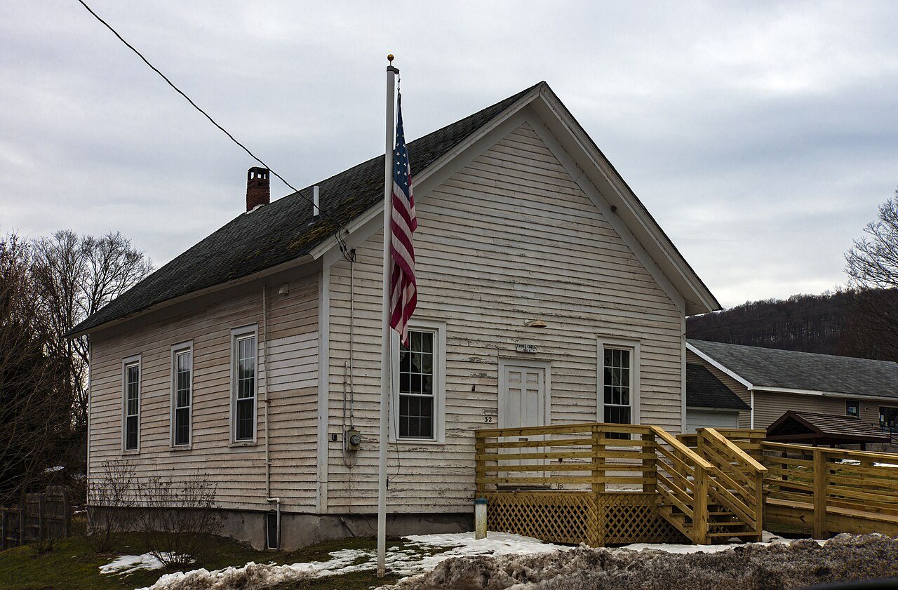 Common School 32 · Photo: Daniel Case · CC BY-SA 3.0