StottvilleNY
A town of 1,045, settled in 1867.
Is Stottville a good place to live?
51% of households own their home in Stottville, below both the New York town median (75%) and the median of U.S. towns (73%). 28% of the land in Stottville is conserved, above both the New York town median (5.2%) and the median of U.S. towns (4.3%). Stockport Wildlife Management Area, at 308 acres with 1.8 miles of trail, is the biggest park or preserve. We don’t grade Stottville yet; the figures below are still real.
Stottville has grown 21% from 2010 to 2020
1,375 counted in 2010 and 1,665 in 2020.
U.S. Census 2010 & 2020 counts
The data
Ordered by what stands out in Stottville.
Zillow puts the typical Stottville home at about $291K
In Stottville, the going rate for rent is $1,352 a month. Home values are up 2.9% over the year to September 2026.
Typical home value
Census ACS, 2020–24 · Zillow Home Value Index · Redfin Data Center
Nearly a quarter of Stottville is conserved land
Count the trails in 4 parks and preserves and they come to 3.5 miles. The concentration of trails in Stottville is 0.7 miles per square mile.
| Biggest places to walk | Trails | Acres |
|---|---|---|
| 1. Stockport Wildlife Management Area | 1.8 mi | 308 |
| 2. Greenport Conservation Area | 1.5 mi | 184 |
| 3. Stockport Flats Estuarine Sanctuary | — | 55 |
Trails & parks © OpenStreetMap contributors · Conserved land: USGS PAD-US
High risk in Stottville, with inland flooding at the top
For Stottville, the risk rating from FEMA is 68 of 100. FEMA puts nearly four fifths of the town’s expected hazard losses down to inland flooding, and 6% to tornadoes.
FEMA National Risk Index · OpenFEMA
Four seasons and pleasant summers: that is Stottville’s year
The July high for Stottville comes to 85°F.
Typical low → high °F
NOAA U.S. Climate Normals, 1991–2020
Most working residents commute out of Stottville
Half of commuters travel less than 14 miles. Among working residents in Stottville, 3.2% work locally. Employers in Stottville shed 58 jobs between 2013 and 2023, to 709. Its typical household income is $61,000.
| Stottville | New York towns | U.S. towns | |
|---|---|---|---|
| Median household income | $61,000 | $82,000 | $80,000 |
| Working residents who work in town | 3.2% | 10% | 8% |
Where working residents work
Census LEHD 2023 · ACS
How healthy Stottville is
Stottville: a fifth of adults have been diagnosed with depression. 38% of adults in Stottville sleep under 7 hours; 32% have obesity.
| Stottville | New York towns | U.S. towns | |
|---|---|---|---|
| Depression (CDC PLACES) | 20% | 21% | 23% |
| Sleep under 7 hours (CDC PLACES) | 38% | 37% | 36% |
| Obesity (CDC PLACES) | 32% | 33% | 35% |
| Yearly checkup (CDC PLACES) | 80% | 81% | 79% |
| What stands out | Stottville | NY |
|---|---|---|
| Fewer uninsured adults | 6.5% | 7.9% |
| Fewer adults facing food insecurity | 14.5% | 17.2% |
| More adults with COPD | 7.8% | 6% |
CDC PLACES 2025 · modeled estimates for adults · CMS · HRSA
Everything we know about Stottville
Olana State Historic Site and 54 more within 40 miles
Museums, parks, gardens and other places to visit around Stottville. Close and well known come first.
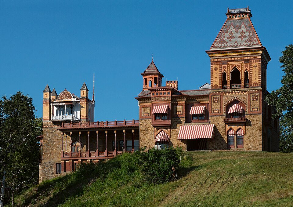 6 mi MuseumOlana State Historic Site
 37 mi National Historic SiteHome of Franklin D. Roosevelt National Historic Site102K visitors a year
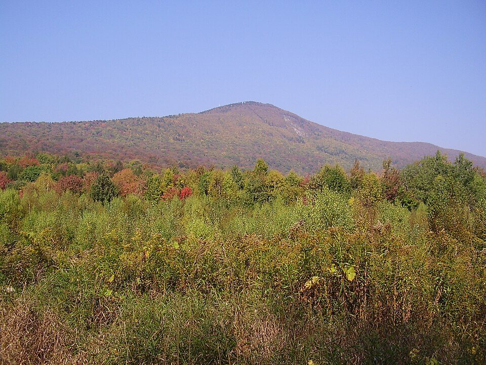 39 mi MountainMount Greylock
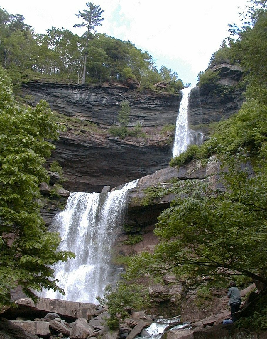 17 mi WaterfallKaaterskill Falls
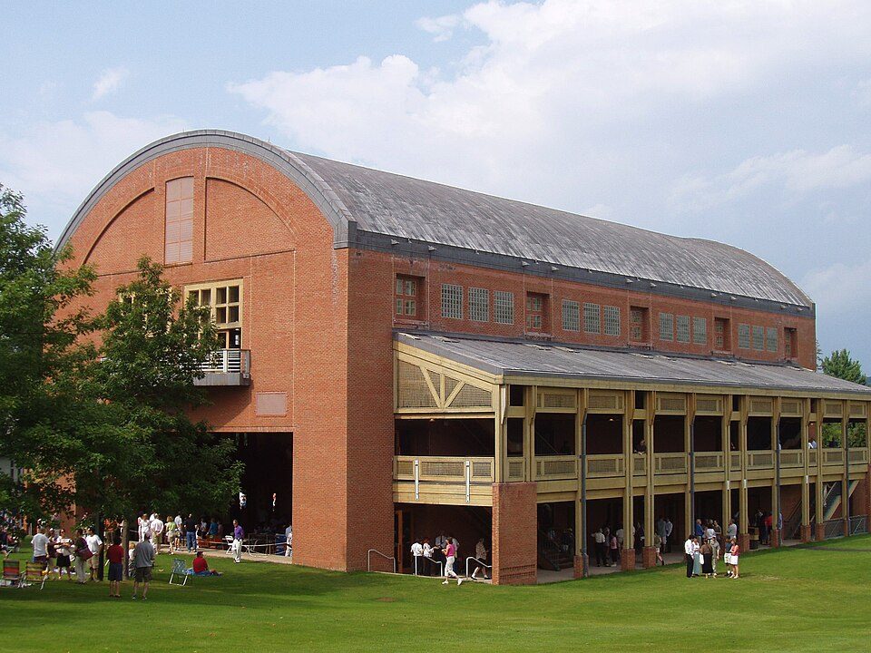 23 mi TheatreTanglewood
 22 mi MuseumNorman Rockwell Museum
Photo credits
Olana State Historic Site: Netniks, CC BY-SA 4.0 · Home of Franklin D. Roosevelt National Historic Site: Crunch, CC BY-SA 4.0 · Mount Greylock: Jstergis, CC BY 3.0 · Kaaterskill Falls: Mwanner, CC BY-SA 3.0 · Tanglewood: Daderot., CC BY-SA 3.0 · Norman Rockwell Museum: User:Rmrfstar, CC BY 2.5


Moving to Stottville: who provides what
Stottville is unincorporated, so Columbia County and regional agencies provide most services.
EPA SDWIS (Oct 9, 2026) · HIFLD + EIA-861 2025 · Census 2020 ZCTAs · NCES 2024–25 · registration: vote.gov, updated Aug 3, 2026.
1,045 people, and everyone knows the way
In a town this size, neighbors are the best guide. Ask them anything.
Colleges nearby
1 within 15 miles of the center of Stottville
About 1 of every 100 Stottville residents are enrolled in college, against 7 across New York.
About Stottville
Hamlet & CDP in New York, United States
Stottville is a hamlet and census-designated place (CDP) in Columbia County, New York, United States. As of the 2020 census, Stottville had a population of 1,665. Stottville is in the southern part of the town of Stockport, south of Stockport Creek, and in the northern section of the town of Greenport.
From Wikipedia, licensed CC BY-SA 4.0 · facts via Wikidata (CC0)
- Area
- 4.2 sq mi
- Elevation
- 115 ft
- ZIP code
- 12172
Questions about Stottville
Short answers, built from the data on this page.
Is Stottville, NY a good place to live?
We don’t grade Stottville yet; the figures below are still real.
Say something about Stottville.
Ask a question, answer one, post a photo or an event. Free, and the parts only a neighbor would know are the parts worth reading.