Founding year: Wikipedia. First post office: 1826.The full story ↓
History grade
What drives Southport’s History grade
On its age, its old homes and the National Register, Southport is more historic than 60% of U.S. towns, #599 of 758 in New York. Its share of homes from before 1940 holds the grade up; its National Register listings pull it down.
B
HistoryA character grade: shown, never part of Southport’s overall grade.
New York towns list more on the Register than most of the country (a typical New York town has 12.3 per 10,000 residents, the U.S. 2.4), so Southport’s 0.0 sits below most of its state (10% of New York towns have fewer) while its 0 listings outnumber those of 23% of U.S. towns.
How sure. Graded on any two of the three inputs instead, the letter would range from C+ to A−. The pre-1940 share is a Census survey estimate (±4.9 points). Two sources give 1822.
Founding year: Wikipedia (other dates in Quick answers). Homes: Census ACS 2020–24. National Register: National Park Service, May 2026 list; each listing counted once (boundary changes and added documentation belong to their listing), and a historic district counts its contributing buildings. How TownRatings grades history →
What stands out about Southport’s past
Read from the archive, the National Register and the record. The page puts what stands out first.
Around 1786, the first settlers arrived in what is now modern day Southport. The town of Southport was officially incorporated as a town in 1822. Prior to the incorporation, the early community built a school in 1799 followed by a church built in 1819.
The area of Pine City began receiving its first settlers circa 1830. The area of Hendy Creek began receiving settlers around 10 years later circa 1840.
The area of Seeley Creek provided waterways to fuel businesses such as tanneries, and saw, woolen, and grist mills. Other businesses such as butchers, sugar bushes, quarries, a canning factory, and a cheese factory.
Passages that mention Southport, cut from the printed page as they were published.
History of Boothbay, Southport and Boothbay Harbor, Maine. 1623-1905. With family genealogies1906 · page 401Read the page →
Read the text
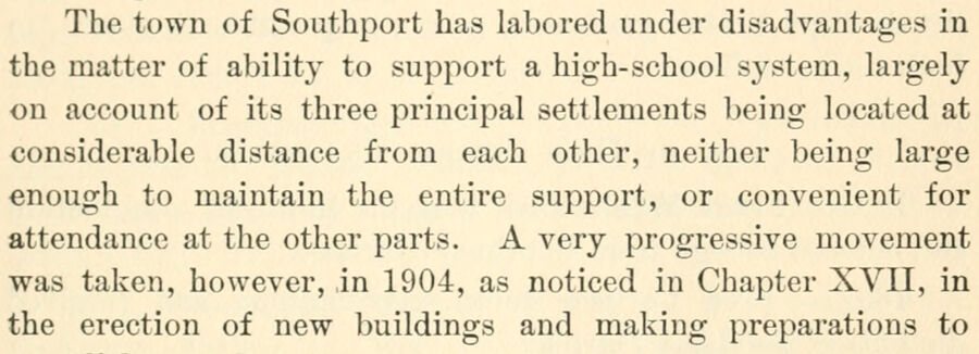
The town of Southport has labored under disadvantages in the matter of ability to support a high-school system, largely on account of its three principal settlements being located at considerable distance from each other, neither being large enough to maintain the entire support, or convenient for attendance at the other parts. A very progressive movement was taken, however, in 1904, as noticed in Chapter XVII, in the erection of new buildings and making preparations to
Text read by machine from the scan; it may contain errors.
History of Boothbay, Southport and Boothbay Harbor, Maine. 1623-1905. With family genealogies1906 · page 199Read the page →
Read the text
ciated themselves together for the purpose of "l)uikling a meeting house that shall be more convenient and upon more modern plans," at the same time mentioning that "the meetinghouse in the town of Southport is much impaired by time, and the pews uncomfortable to sit upon, and the house quite ancient in its structure." The first meeting was held February 4, 18G4. The organization was perfected and a building committee selected. On February 18th by-laws were adopted and a
Text read by machine from the scan; it may contain errors.
A brief history of Chemung county, New York1907 · page 73Read the page →
Read the text
The first church building was erected in 1834. It was enlarged in 1856. In 1868 a parsonage was built. In this township a church or Society of Friends or Quakers was organized in 1860. In Southport the First Baptist Church was built in 1853, the Society being regularly organized in May, 1855; a Methodist Church was also built in 1855, and the Presbvterian Church, built in 1839. In "Hendy Hollow," in this township, a Roman Catholic Church was built
Text read by machine from the scan; it may contain errors.
A brief history of Chemung county, New York1907 · page 36Read the page →
Read the text
Bandfield.*' In April of the same year the township of Elmira suffered two losses. A strip on the north became the township of Big Flats, and on the south the township of Southport.*^ Still further, on April 16, 1823, two more townships were formed from the southern end of Catherine, Veteran on the east half and Catlin on the west half. Veteran was named in honor of a revolutionary soldier, Green
Text read by machine from the scan; it may contain errors.
Scans and text from the Internet Archive. Books published in 1930 or earlier, which are in the public domain.
Timeline
Southport, 1822 to 1970
Woven from the archive, old maps, post office records, the National Register and the people born here.
Nothing in the archives for these yearsWeddings on Main Street, storms, parades, school pictures, the old store. If it’s in your family album, it belongs here.
In 1822, according to Wikipedia’s history of the town. Southport’s post office opened in 1826, and the census of 1830 counted 1,454 people here.
How does Southport rank for history?
Southport is more historic than 60% of U.S. towns, #599 of 758 in New York. The History grade combines the town’s founding era, the share of homes built before 1940 and its National Register listings. It’s a character grade, so it isn’t part of the overall grade. How it works.
How old are the homes in Southport?
24% of Southport’s homes were built before 1940 (Census estimate, ±4.9 points), against a typical 27% for a New York town; the median home was built in 1958.
Founding dates: Wikidata, Wikipedia, the U.S. post office records of Blevins & Helbock (CC0) and the Census. Homes by year built: Census ACS 2020–24. National Register of Historic Places: National Park Service (list of May 22, 2026). Old photos, postcards and papers: Wikimedia Commons, the Library of Congress and other public archives, credited on each item’s page. Maps: U.S. Geological Survey historical topographic maps (via Esri) and Sanborn fire-insurance maps (Library of Congress). History text and census tables: Wikipedia (CC BY-SA 4.0). Places that used to be: USGS Geographic Names Information System (2021).
From Wikimedia Commons (3), Wikipedia, U.S. Geological Survey historical maps, U.S. Census counts (via Wikipedia), the US Post Offices dataset (Blevins & Helbock), the USGS Geographic Names Information System and old county and town histories (Internet Archive). Archive images are copied here with their credits and licenses, shown on each photo’s page. Refreshed monthly.




 1869


