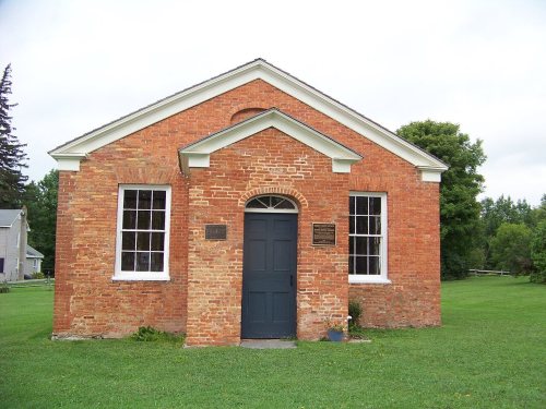
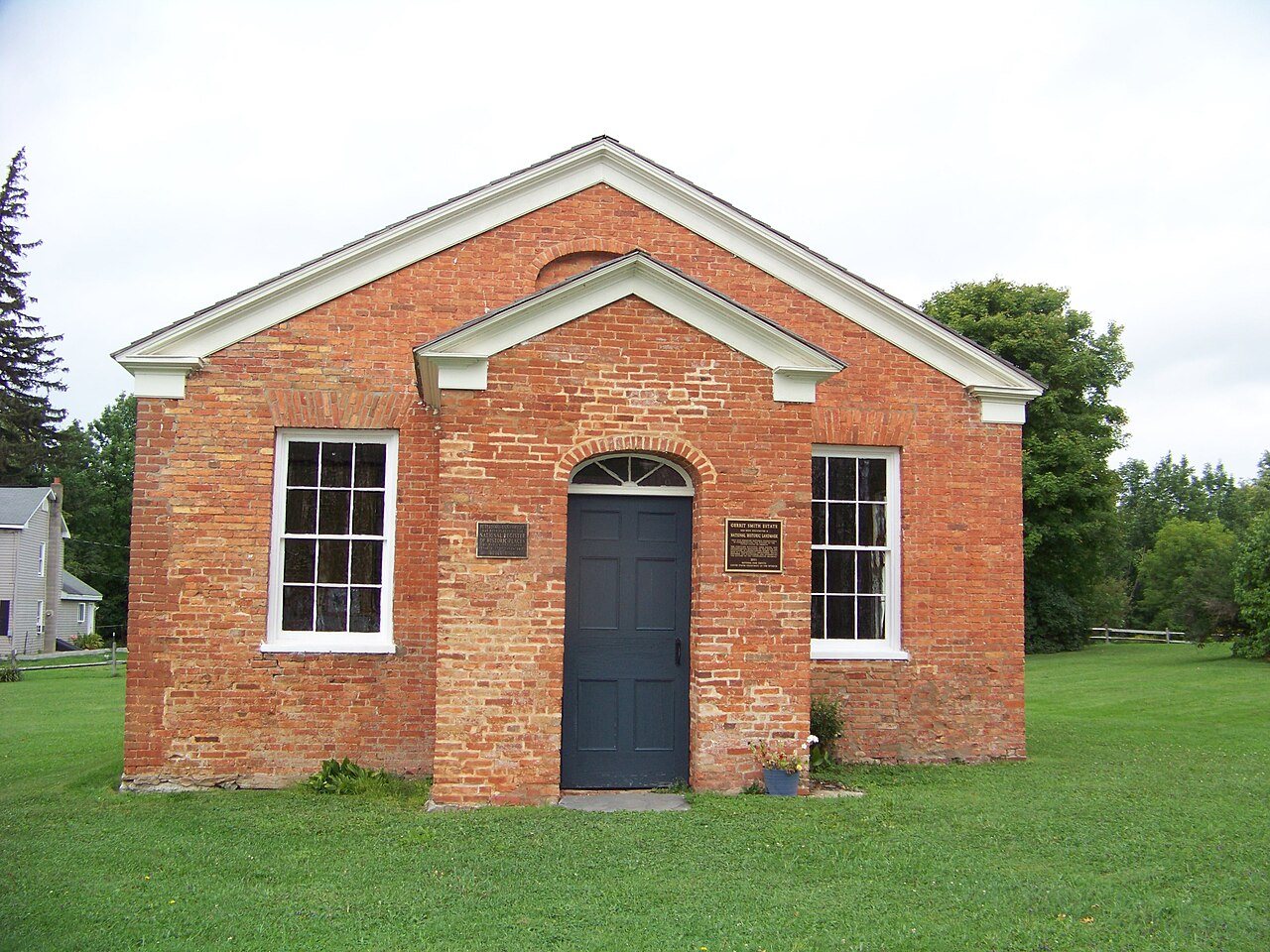
3 places in town are on the National Register, among them the Gerrit Smith Estate, a National Historic Landmark, and a historic district with 5 buildings. Below: 1 old photo or paper from 1875 on and old-book passages.
On its age, its old homes and the National Register, Smithfield is more historic than 89% of U.S. towns. All 2 inputs are above most U.S. towns; its share of homes from before 1940 ranks highest and its National Register listings lowest.
A
HistoryA character grade: shown, never part of Smithfield’s overall grade.
New York towns list more on the Register than most of the country (a typical New York town has 12.3 per 10,000 residents, the U.S. 2.4), so Smithfield’s 64.5 sits above most of its state (71% of New York towns have fewer) while its 8 historic buildings outnumber those of 74% of U.S. towns.
How sure. Graded on two of the three inputs, so a change in either one moves the letter more than it would with three. The pre-1940 share is a Census survey estimate (±6.5 points).
Founding year: our sources. Homes: Census ACS 2020–24. National Register: National Park Service, May 2026 list; each listing counted once (boundary changes and added documentation belong to their listing), and a historic district counts its contributing buildings. How TownRatings grades history →
What stands out about Smithfield’s past
Read from the archive, the National Register and the record. The page puts what stands out first.
The region was first settled around 1797. The town was organized in 1807 from land taken from the town of Cazenovia.
At 7:02 p.m. on July 8, 2014, Smithfield was struck by an EF2 tornado with peak estimated winds of 135 mph (217 km/h). The tornado killed four people and destroyed several homes. One house was carried 150 yards (140 m) and thrown into another home. A three-story house was rolled off its foundation down a hill, and the occupant inside was killed.
Passages that mention Smithfield, cut from the printed page as they were published.
History of Madison county, state of New York1900 · page 719Read the page →
Read the text
The large town of Smithfield was destined to become the smallest in the county. The project to divide it was long agitated; it was finally accomplished in 1823, and the new town of Fenner formed of its western half Again, in 1836, a large portion was shorn from its eastern part to help form Stockbridge. The first town meeting after the division, in 1823, was held at the house of Harry Nichols.
Text read by machine from the scan; it may contain errors.
History of Madison county, state of New York1900 · page 704Read the page →
Read the text
Smithfield was the tract of land obtained of the Oneida Indians in 1795. While living in Utica in 1794, Mr. Smith obtained of this tribe the lease of the " New Petersburgh Tract," (thus named from Peter Smith,) comprising an area of 50,000 acres, embracing a large part of Augusta, Oneida County, a portion of Stockbridge, and nearly all of Smithfield, Fenner and northern Cazenovia. This he divided into four allotments. At this time a law had been
Text read by machine from the scan; it may contain errors.
Historical and descriptive sketches of Norfolk and vicinity1853 · page 480Read the page →
Read the text
The beautiful and pleasant little town of Smithfield is situated in the northern part of Isle of Wight County, "on an elevated bank on the margin of Pagan Creek, a bold and navigable stream, commanding a splendid view of both land and water scenery — the country, for ten miles on the opposite bank of the James, being in full sight." There are about twenty stores, a number of handsome residences, and three or four churches ; — population 1500. The place is tastefully ornamented with
Text read by machine from the scan; it may contain errors.
Scans and text from the Internet Archive. Books published in 1930 or earlier, which are in the public domain.
Timeline
Smithfield, 1806 to 2001
Woven from the archive, old maps, post office records, the National Register and the people born here.
Smithfield is more historic than 89% of U.S. towns. The History grade combines the town’s founding era, the share of homes built before 1940 and its National Register listings. It’s a character grade, so it isn’t part of the overall grade. How it works.
What is on the National Register in Smithfield?
Three places: the Gerrit Smith Estate (listed 1997), the Peterboro Land Office (1984) and the Smithfield Presbyterian Church (1994).
How old are the homes in Smithfield?
26% of Smithfield’s homes were built before 1940 (Census estimate, ±6.5 points), against a typical 27% for a New York town; the median home was built in 1981.
Founding dates: Wikidata, Wikipedia, the U.S. post office records of Blevins & Helbock (CC0) and the Census. Homes by year built: Census ACS 2020–24. National Register of Historic Places: National Park Service (list of May 22, 2026). Old photos, postcards and papers: Wikimedia Commons, the Library of Congress and other public archives, credited on each item’s page. Maps: U.S. Geological Survey historical topographic maps (via Esri) and Sanborn fire-insurance maps (Library of Congress). History text and census tables: Wikipedia (CC BY-SA 4.0). Places that used to be: USGS Geographic Names Information System (2021).
From Wikimedia Commons (1), the National Register of Historic Places (3), Wikipedia, Wikidata and Wikipedia for famous people, the US Post Offices dataset (Blevins & Helbock), the USGS Geographic Names Information System and old county and town histories (Internet Archive). Archive images are copied here with their credits and licenses, shown on each photo’s page. Refreshed monthly.


 ★ Landmark