
Looking eastward along U.S. 20A, 2020
Sheldon’s story
215 years in pictures
Census counts: 887 in 1820, 2,409 in 2010. The archive holds 3 old photos and papers going back to 2020 and 2 maps from 1923 on.
- 1811Sheldon is settled
Each edition grades its towns against each other only.
The best of Sheldon’s subject grades are a B+ for civic life and cost of living; the weakest is a C for incomes. Sheldon’s average trip to work is 33 minutes, where New York’s towns sit at 25 minutes and U.S. towns at 25 minutes. On the outdoors, just 36 of New York’s 1,216 towns do worse. Sheldon has fewer than 2,500 residents, so it gets subject grades but no overall grade.
Where Sheldon beats most towns.
Where Sheldon’s working residents go each day. Line width shows the share.
Census LEHD 2023
Each subject compared with towns across the country (schools within New York), ordered by how far Sheldon is from typical.
How TownRatings grades towns →
Census counts: 887 in 1820, 2,409 in 2010. The archive holds 3 old photos and papers going back to 2020 and 2 maps from 1923 on.
Who provides power, water and the rest in Sheldon, and how to reach them.
EPA SDWIS (Oct 9, 2026) · HIFLD + EIA-861 2025 · Census 2020 ZCTAs · NCES 2024–25 · registration: vote.gov, updated Aug 3, 2026.
Ordered by what stands out in Sheldon.
Most working residents leave Sheldon for work: only 7% work in town. Since 2013, Sheldon has added 78 jobs, to 414 in 2023. 12% of residents live below the poverty line in Sheldon, above both New York’s towns (9.5%) and U.S. towns (9.6%).
| Sheldon | New York towns | U.S. towns | |
|---|---|---|---|
| Below the poverty line | 12% | 9.5% | 9.6% |
| Median household income | $71,000 | $82,000 | $80,000 |
| Working residents who work in town | 7.4% | 10% | 8% |
Census LEHD 2023 · ACS
Expected storm and flood damage is lower than in 72% of U.S. communities. Since 1998, 2 flood insurance claims have been paid out in Sheldon.
FEMA flood insurance claims · FEMA National Risk Index · OpenFEMA
Sheldon beats the New York average on 5 of 32 CDC measures and trails it on 4. 18% of Sheldon adults binge drink.
| Sheldon | New York towns | U.S. towns | |
|---|---|---|---|
| Binge drink (CDC PLACES) | 18% | 17% | 16% |
| Yearly checkup (CDC PLACES) | 81% | 81% | 79% |
| No health insurance, 18–64 (CDC PLACES) | 5.4% | 5.9% | 8.1% |
| Food insecurity (CDC PLACES) | 11% | 13% | 14% |
| What stands out | Sheldon | NY |
|---|---|---|
| Fewer adults facing food insecurity | 11.2% | 17.2% |
| Fewer uninsured adults | 5.4% | 7.9% |
| More adults who have had cancer | 10.2% | 7.7% |
CDC PLACES 2025 · modeled estimates for adults · CMS · HRSA
Sheldon’s July high is 78°F. Sheldon has cold, snowy winters and pleasant summers.
NOAA U.S. Climate Normals, 1991–2020
5.9 miles of trail in 0 parks and preserves. The trail density in Sheldon is 0.1 miles per square mile.
| Sheldon | New York towns | U.S. towns | |
|---|---|---|---|
| Conserved land | 0.4% | 5.2% | 4.3% |
| Miles of trail per square mile | 0.1 miles per square mile | 0.4 | 0.4 |
Trails & parks © OpenStreetMap contributors · Conserved land: USGS PAD-US
Museums, parks, gardens and other places to visit around Sheldon. Close and well known come first.
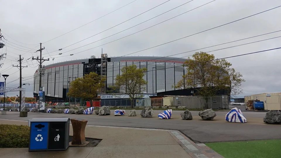 Big draw21 mi Stadium & arenaHighmark Stadium
 Big draw21 mi Stadium & arenaRalph Wilson Stadium13 mi Theme parkSix Flags Darien Lake1.5M visitors a year
 19 mi WaterfallEternal Flame Falls
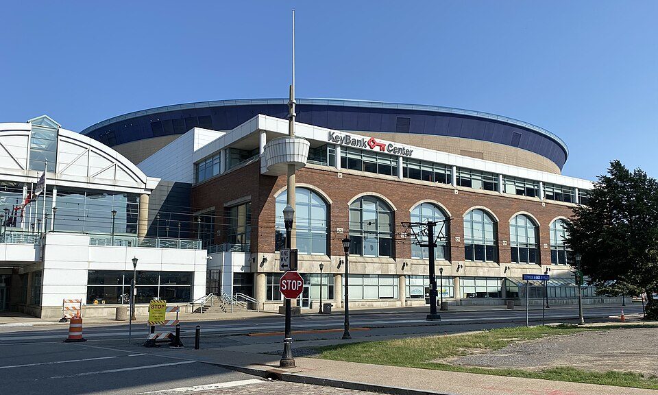 27 mi Stadium & arenaKeyBank Center
 27 mi MuseumUSS The Sullivans
Highmark Stadium: James161723, CC0 · Ralph Wilson Stadium: User Evilarry on en.wikipedia, Public domain · Eternal Flame Falls: Mpmajewski, CC BY-SA 3.0 · KeyBank Center: Andre Carrotflower, CC BY-SA 4.0 · USS The Sullivans: Unknown, Public domain
None within 15 miles of Sheldon; the nearest are
About 3 of every 100 Sheldon residents are enrolled in college, against 7 across New York.
Town in New York, United States
Sheldon is an incorporated town in Wyoming County, New York. The population was 2,409 at the 2010 census. The Town of Sheldon is on the west border of Wyoming County. The town is southeast of Buffalo.
From Wikipedia, licensed CC BY-SA 4.0 · facts via Wikidata (CC0)
5 towns share a border with Sheldon.
| Town | NY rank | Overall | Cost | Safety | Schools | Health |
|---|---|---|---|---|---|---|
| Sheldon | — | — | B+ | — | B | B+ |
| Java | — | — | B | — | B | B+ |
| Orangeville | — | — | B | — | B | B− |
| Bennington | #330 | B | B− | — | B | B+ |
| Strykersville | — | — | — | — | — | — |
| Wales | #100 | A | B | — | B+ | A |
Sheldon, Java and Orangeville have fewer than 2,500 residents, so they get subject grades but no overall grade. Sheldon, Java, Orangeville, Bennington and Wales report no FBI crime data of their own. Strykersville isn’t graded (fewer than 1,000 residents, or not enough data). Compare Sheldon with a neighbor →
Short answers, built from the data on this page.
28% more nonprofits per person than the typical New York town.
Not for the area. The typical home is worth about $176,000. Cost of living, which also weighs rents, property taxes and how many households pay 30% or more of their income for housing, grades B+.


