This area was long occupied by indigenous peoples; in the historic period, the Mohawk people, one of the Five Nations of the Haudenosaunee, or Iroquois Confederacy, dominated this territory, ranging up to the St. Lawrence River and east to the Hudson.
instrumental in effecting a settlement of the suits brought against the county by several towns of the county (including the town of Schoharie), when the law went into effect requiring the amount raised by ta.vation of the railroads in tcnvns having a bonded railroad debt to be deposited with the county treasurer as a sinking fund with which to meet the
Text read by machine from the scan; it may contain errors.
History of Schoharie County, New York, 1713-18821882Read the page →
Read the text
the southwest corner of the town of Carlisle, thence along the south bounds of Carlisle to the west line of the town of Schoharie, thence along the west line of the town of Schoharie and Middleburgh to the north bounds of the town of Jefferson, and thence along the said north bounds to the place of beginning, shall be and continue a town by the name of Cobelskill.
Text read by machine from the scan; it may contain errors.
commenced his career as a teacher, being employed in 1865 and 1866 in Berne. Afterward he was principal of schools in the village of Schoharie, in Middleburg, and Wright, and in other places in Schoharie and Albany Counties, for a continuous period of twenty years. In 18SS Mr. Alverson was elected School Commissioner of the F"irst Dis-
Text read by machine from the scan; it may contain errors.
Scans and text from the Internet Archive. Books published in 1930 or earlier, which are in the public domain.
Timeline
Schoharie, 1718 to 1898
Woven from the archive, old maps, post office records, the National Register and the people born here.
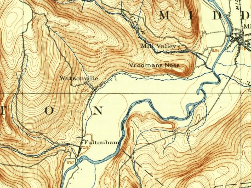
Founding dates: Wikidata, Wikipedia, the U.S. post office records of Blevins & Helbock (CC0) and the Census. Homes by year built: Census ACS 2020–24. National Register of Historic Places: National Park Service (list of May 22, 2026). Old photos, postcards and papers: Wikimedia Commons, the Library of Congress and other public archives, credited on each item’s page. Maps: U.S. Geological Survey historical topographic maps (via Esri) and Sanborn fire-insurance maps (Library of Congress). History text and census tables: Wikipedia (CC BY-SA 4.0). Places that used to be: USGS Geographic Names Information System (2021). How TownRatings grades history →
From Wikimedia Commons (4), Wikidata (1), Wikipedia, Wikidata and Wikipedia for famous people, U.S. Geological Survey historical maps, U.S. Census counts (via Wikipedia) and old county and town histories (Internet Archive). Archive images are copied here with their credits and licenses, shown on each photo’s page. Refreshed monthly.



 2011
 2009
