Guest, Sign inJoin

Post to Schaghticoke

We’ll email a one-tap link to publish your post. No password, and nothing is public until you click it.
Already a member? Sign in
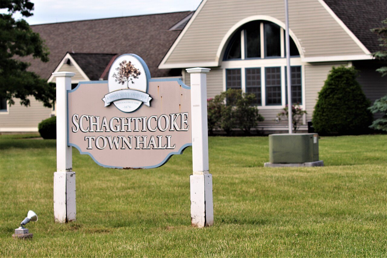
Schaghticoke Town HallPhoto: Tyler A. McNeil · CC BY-SA 4.0
–Not graded
History · Schaghticoke

Schaghticoke’s post office opened in 1804, and 66% of its homes were built before 1940

Below: 2 old photos and papers, maps from 1884 on, and the census since 1790.

1804first post office
0on the National Register
66%homes built before 1940
2old photos & papers
3famous people
From Schaghticoke’s archive · credits on each photo
Quick answers

How Schaghticoke began, and where its name came from

When was Schaghticoke founded?

1804

The Schaghticoke post office opened in 1804, the earliest record of the town by name.

First census: 1,833 in 17902020 census: 527222 years

How did Schaghticoke get its name?

Schaghticoke was named for the Schaghticoke, a Native American tribe formed in the seventeenth century from an amalgamation of remnant peoples of eastern New York and New England.

Founding year: the first Schaghticoke post office (Blevins & Helbock, CC0). Name: Wikipedia, licensed CC BY-SA 4.0.The full story ↓

What stands out about Schaghticoke’s past

Read from the archive, the National Register and the record. The page puts what stands out first.

★ What stands out · Help out

Start Schaghticoke’s collection

The first neighbors to add old photos shape how Schaghticoke’s history is told.

Decades since 1900 with photos
00s10s20s30s40s50s60s70s80s90s
0 of 10 decades. The empty ones are waiting for someone’s album.
People over time

Schaghticoke, census by census

02,0004,0006,0008,000180018501900195020003,591 in 1880Low: 2,177

Lost a third of its people between 1880 and 1920, then grew 3-fold.

24 censuses, 1790–2020.

U.S. Census Bureau decennial counts, from the census table on Schaghticoke’s Wikipedia page.

On the map

Schaghticoke on the map, 1893 to 1954

Every edition of the U.S. Geological Survey’s map of Schaghticoke. Tap a year, or press play to watch the town change.

Schaghticoke on the 1893 USGS mapSchaghticoke on the 1929 USGS mapSchaghticoke on the 1947 USGS mapSchaghticoke on the 1954 USGS map1893Cohoes sheet · 1:62,500

U.S. Geological Survey historical topographic maps (public domain), via Esri’s collection of the scans. The red ring marks the center of Schaghticoke.

The story

How Schaghticoke came to be

From Wikipedia’s history of Schaghticoke.

Read it all →

This area was historically occupied by the Mohican tribe, and later by a mixed group of Mohicans, and remnants of numerous New England tribes who had migrated west seeking to escape European encroachment.

In 1675, Governor Andros, governor of the colony of New York, planted a tree of Welfare near the junction of the Hoosic River and Tomhannock Creek, an area already known as Schaghticoke, "the place where the waters mingle." This tree symbolized the friendship between the English and the Dutch, and the Schaghticoke Indians. The Native Inhabitants were Mohican refugees from New England welcomed to Schaghticoke because they agreed to help protect the English from the French and the Iroquois. They stayed until 1754.

Text from Wikipedia, licensed CC BY-SA 4.0.

Timeline

Schaghticoke, 1815 to 2010

Woven from the archive, old maps, post office records, the National Register and the people born here.

  1. 19th century
  2. 1815Born hereSidney T. Holmes is born here
  3. 1828Born hereJohn A. Quackenbush is born here
  4. 1833Born hereDavid Buel Knickerbacker is born here
  5. 1889In the archiveSchaghticoke, N.Y
  6. 1893On the mapFirst mapped by the U.S. Geological Survey
  7. 21st century
  8. 2010CensusPopulation peaks at 7,679
By decade

Schaghticoke, decade by decade

One decade in the archive so far: the 1880s. Scroll each row; tap a photo for its story.

1890s–1990snothing yet
Nothing in the archives for these yearsWeddings on Main Street, storms, parades, school pictures, the old store. If it’s in your family album, it belongs here.
Add from your album
Date unknown1 to date
Every building

Schaghticoke, building by building, 1884–1911

Fire insurance maps drew every building, what it was made of and what it was used for, so insurers could price the risk of fire. Pick a year, then a sheet.

Schaghticoke fire insurance map, 1884, sheet 11884Sheet 1 of 2
Edition
BrickWoodStone

Sanborn Map Company, via the Library of Congress. Editions published in 1930 or earlier, which are in the public domain.

Then & now

Stand where they stood

No then-and-now pairs yet. Take a photo from the same spot as an old one and they appear here side by side.

Schaghticoke, N.Y
Retake this viewSchaghticoke, N.Y, 1889

Find the spot, match the angle, and add your photo. It becomes the first then-and-now pair on Schaghticoke’s page.

Retake this view · +15
Famous people

3 famous people were born in Schaghticoke

Writers, athletes, leaders and more, ranked by how widely they’re known.

See all →

Questions about Schaghticoke’s history

What year was Schaghticoke founded?

The Schaghticoke post office opened in 1804, the earliest record of the town by name (U.S. post office records).

Memory lane

What the archives can’t tell you, neighbors can.

Town Square →
Start a conversation
Sources

Where this page comes from

Founding dates: Wikidata, Wikipedia, the U.S. post office records of Blevins & Helbock (CC0) and the Census. Homes by year built: Census ACS 2020–24. National Register of Historic Places: National Park Service (list of May 22, 2026). Old photos, postcards and papers: Wikimedia Commons, the Library of Congress and other public archives, credited on each item’s page. Maps: U.S. Geological Survey historical topographic maps (via Esri) and Sanborn fire-insurance maps (Library of Congress). History text and census tables: Wikipedia (CC BY-SA 4.0). Places that used to be: USGS Geographic Names Information System (2021). How TownRatings grades history →

From Wikimedia Commons (1), the Library of Congress (1), Wikipedia, Wikidata and Wikipedia for famous people, U.S. Geological Survey historical maps, U.S. Census counts (via Wikipedia) and Sanborn fire insurance maps (Library of Congress). Archive images are copied here with their credits and licenses, shown on each photo’s page. Refreshed monthly.