336 years in pictures
Census counts: 6,377 in 1870, 8,775 in 2020. The archive holds 6 old photos and papers going back to 1860 and a map from 1906 on.
3 places on the National Register of Historic Places.
- 1690Port Jervis is settled
Each edition grades its towns against each other only.

Port Jervis earns a D, 714th among New York's 745 graded towns, mostly because of incomes and health. The median household income is $48K, and 22% of residents live below the poverty line. CDC estimates put its residents' health behind 75% of the country. In its favor, it has 12 miles of trail. History is its standout character grade: an A, better than 93% of U.S. towns, with 3 places on the National Register. Port Jervis’ trail density is 4.4 miles per square mile, above both the New York town median (0.4) and the median of U.S. towns (0.4). Only 30 of New York’s 1,216 towns score lower on hazard risk. Port Jervis is easier to get around on foot or by transit than 94% of U.S. towns.
Where Port Jervis beats most towns.
Census counts: 6,377 in 1870, 8,775 in 2020. The archive holds 6 old photos and papers going back to 1860 and a map from 1906 on.
3 places on the National Register of Historic Places.
Each subject compared with towns across the country (schools within New York), ordered by how far Port Jervis is from typical.
How TownRatings grades towns →
Museums, parks, gardens and other places to visit around Port Jervis. Close and well known come first.
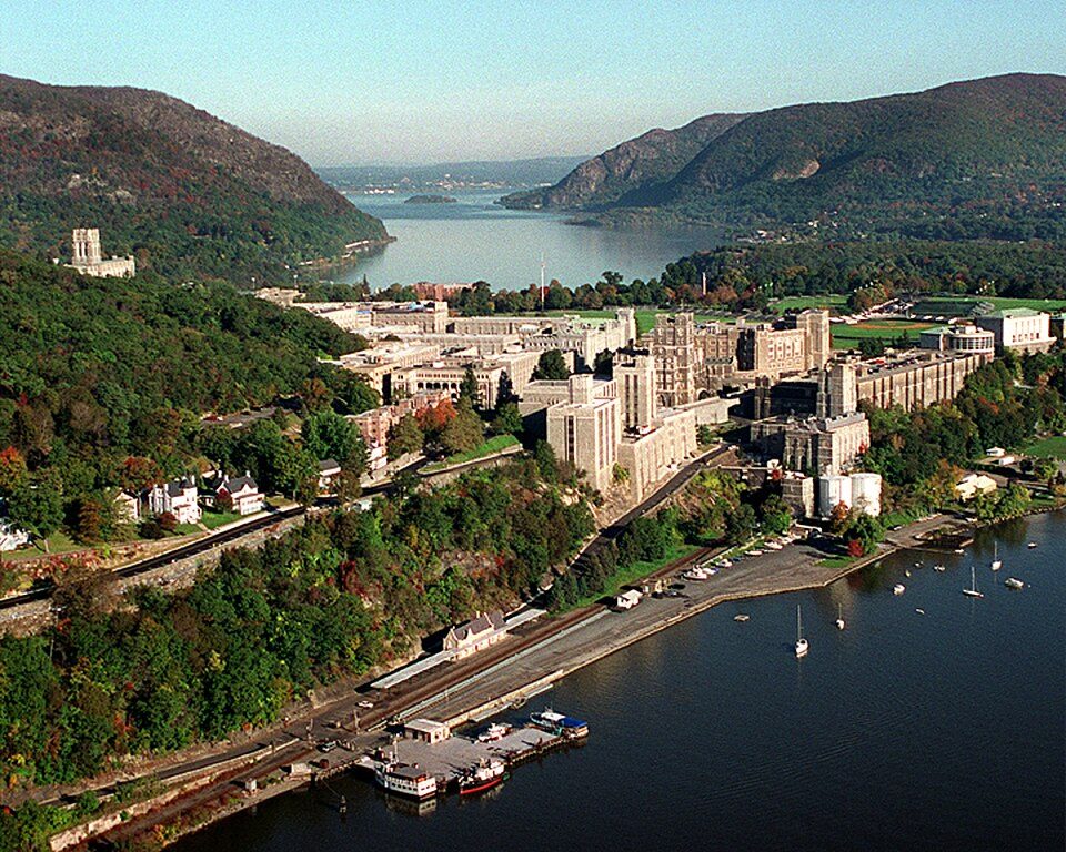
Big draw38 mi MuseumUnited States Military Academy
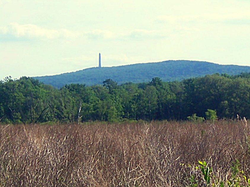
4 mi MountainHigh Point
4 mi National park siteMiddle Delaware National Scenic River4.1M visitors a year
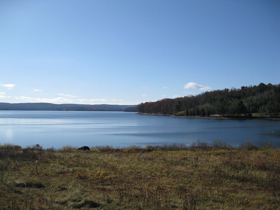
29 mi LakeLake Wallenpaupack
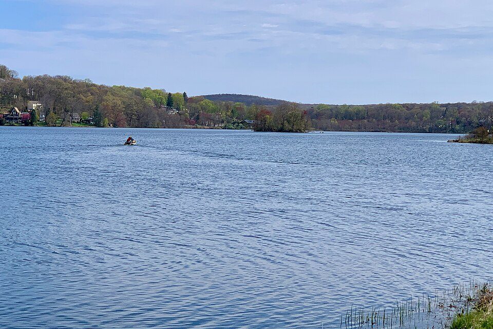
33 mi LakeLake Musconetcong
20 mi Theme parkLegoland New YorkUnited States Military Academy: USMA Public Affairs Office, Public domain · High Point: Daniel Case, CC BY-SA 3.0 · Middle Delaware National Scenic River: Mike Serfas, Public domain · Lake Wallenpaupack: Doug Kerr from Albany, NY, United States, CC BY-SA 2.0 · Lake Musconetcong: Zeete, CC BY-SA 4.0 · Legoland New York: MattCC716, CC BY-SA 2.0
Who provides power, water and the rest in Port Jervis, and how to reach them.
EPA SDWIS (Oct 9, 2026) · HIFLD + EIA-861 2025 · Census 2020 ZCTAs · NCES 2024–25 · registration: vote.gov, updated Aug 3, 2026.
Ordered by what stands out in Port Jervis.
Port Jervis is healthier than towns with similar incomes and is one of New York’s best towns for the outdoors, but it carries more natural-hazard risk than most of New York (mostly inland flooding).
Its A+ for the outdoors ranks #8 of 758 in New York.
The biggest place to walk is Elks-Brox Memorial Park, 270 acres with 8.3 miles of trail. More trails than any other town in New York.
| Biggest places to walk | Trails | Acres |
|---|---|---|
| 1. Elks-Brox Memorial Park | 8.3 mi | 270 |
| 2. Riverside Park | 0.3 mi | 15 |
| 3. West End Beach | — | 5 |
Trails & parks © OpenStreetMap contributors · Conserved land: USGS PAD-US
Its public schools are run by the Port Jervis City School District. Its one school is below.
| School | Level | Students | Letter |
|---|---|---|---|
| East Main Elementary SchoolLargest public elementary schoolGrades K–5 | Grades K–5 | 702 | C |
NCES · EDFacts · graded within NY on state tests and graduation
73.2% of renter households pay 30% or more of their income for housing, against 52.1% across New York.
The typical Port Jervis home is worth about $319,000, up 1.1% in a year, 39% below the New York typical home. 51% of Port Jervis households own their home, where New York’s towns sit at 75% and U.S. towns at 73%.
| Port Jervis | New York towns | U.S. towns | |
|---|---|---|---|
| Households that own their home | 51% | 75% | 73% |
| Median rent | $1,260 a month | $1,098 a month | $1,185 a month |
Census ACS, 2020–24 · Zillow Home Value Index · Redfin Data Center
FEMA rates its natural-hazard risk higher than 98% of New York towns, with expected losses of about $585 per resident a year; that rating is what its D for hazard risk is built on. 115 flood insurance claims have been filed here, and 12 properties have flooded more than once.
Port Jervis’ FEMA risk score is 82 of 100. Since 1978, 115 flood insurance claims have been paid out in Port Jervis.
FEMA flood insurance claims · FEMA National Risk Index · OpenFEMA
Against the 4,983 U.S. towns with household incomes like Port Jervis’s, it is healthier than 62%, so its C− isn’t only a matter of income.
32% of adults get no exercise outside work in Port Jervis. Port Jervis beats the New York average on 0 of 32 CDC measures and trails it on 19. 16% of adults report frequent physical distress in Port Jervis.
| Port Jervis | New York towns | U.S. towns | |
|---|---|---|---|
| Get no exercise (CDC PLACES) | 32% | 25% | 25% |
| Frequent physical distress (CDC PLACES) | 16% | 14% | 14% |
| Binge drink (CDC PLACES) | 14% | 17% | 16% |
| Fair or poor health (CDC PLACES) | 23% | 17% | 19% |
| What stands out | Port Jervis | NY |
|---|---|---|
| More adults with COPD | 9.3% | 6% |
| More smokers | 17.1% | 11.3% |
| More adults facing a utility shut-off | 10.8% | 8.2% |
CDC PLACES 2025 · modeled estimates for adults · CMS · HRSA
Reported crimes fell from 194 to 140 over the last three FBI years, a drop beyond ordinary year-to-year swings.
The violent crime rate in Port Jervis is 2.9 per 1,000 residents. Port Jervis reports more crime per resident than most U.S. towns we grade: about 75% report less. The property crime rate in Port Jervis is 13.5 per 1,000 residents.
| Port Jervis | New York towns | U.S. towns | |
|---|---|---|---|
| Violent crimes per 1,000 (2025) | 2.9 per 1,000 residents | 0.8 | 1.6 |
| Property crimes per 1,000 (2025) | 13.5 per 1,000 residents | 7.5 | 9.9 |
FBI crime data, 2025 · crimes reported to police
The average commute for its 3,608 working residents takes 25.2 minutes, against 32.6 across New York.
Most working residents leave Port Jervis for work: only 16% work in town. Since 2013, Port Jervis has added 136 jobs, to 2,524 in 2023. The top destinations are New York (15%), Wallkill (8%) and Westfall Township (5%).
| Port Jervis | New York towns | U.S. towns | |
|---|---|---|---|
| Median household income | $48,000 | $82,000 | $80,000 |
| Working residents who work in town | 16% | 10% | 8% |
| Work from home | 8.6% | 12% | 11% |
Census LEHD 2023 · ACS
Port Jervis has chilly, snowy winters and pleasant summers. July afternoons reach 83°, January nights drop to 17° and about 43 inches of snow falls in a winter.
NOAA U.S. Climate Normals, 1991–2020
1 within 15 miles of the center of Port Jervis
About 4 of every 100 Port Jervis residents are enrolled in college, against 7 across New York.
23.5% of the town is conserved land, across 6 parks and preserves.
3 places in Port Jervis on the National Register of Historic Places.
14 notable people were born in Port Jervis.


City in New York, United States
Port Jervis is a city located at the confluence of the Neversink and Delaware rivers in western Orange County, New York, United States, north of the Delaware Water Gap. Its population was 8,775 at the 2020 census. The communities of Deerpark, Huguenot, Sparrowbush, and Greenville are adjacent to Port Jervis. Matamoras, Pennsylvania, is across the river and connected by the Mid-Delaware Bridge. Montague Township, New Jersey, also borders the city. The Tri-States Monument, marking the tripoint between New York, New Jersey, and Pennsylvania, lies at the southwestern corner of the city. Port Jervis was part of early industrial history, a point for shipping coal to major markets to the southeast…
From Wikipedia, licensed CC BY-SA 4.0 · facts via Wikidata (CC0)
4 towns share a border with Port Jervis.
| Town | NY rank | Overall | Cost | Safety | Schools | Health |
|---|---|---|---|---|---|---|
| Port Jervis | #714 | D | C+ | C | C | C− |
| Deerpark | #560 | C | C− | A | C | B |
| Sparrow Bush | — | — | — | — | — | — |
Sparrow Bush isn’t graded (fewer than 1,000 residents, or not enough data). Compare Port Jervis with a neighbor →
Short answers, built from the data on this page.
Port Jervis grades D overall, better than 7% of U.S. towns and #714 of 745 in New York. It grades C− for health, C for safety and C for schools, and has the most trail per square mile in the state. Jobs & income is its weak spot, with a D.
That is 3.2 years of the area's median household income ($98,233 across the Kiryas Joel-Poughkeepsie-Newburgh, NY metro area). Cost of living, which also weighs rents, property taxes and how many households pay 30% or more of their income for housing, grades C+.
14 notable people were born here, including Stefanie Dolson and Bucky Harris.