On its age, its old homes and the National Register, Oxford is among the most historic 1% of U.S. towns. All 2 inputs put Oxford near the top nationally; its share of homes from before 1940 ranks highest.
A+
HistoryA character grade: shown, never part of Oxford’s overall grade.
New York towns list more on the Register than most of the country (a typical New York town has 12.3 per 10,000 residents, the U.S. 2.4), so Oxford’s 1,341 sits above most of its state (97% of New York towns have fewer) while its 203 historic buildings outnumber those of 93% of U.S. towns.
How sure. Graded on two of the three inputs, so a change in either one moves the letter more than it would with three. The pre-1940 share is a Census survey estimate (±8.7 points).
Founding year: our sources. Homes: Census ACS 2020–24. National Register: National Park Service, May 2026 list; each listing counted once (boundary changes and added documentation belong to their listing), and a historic district counts its contributing buildings. How TownRatings grades history →
What stands out about Oxford’s past
Read from the archive, the National Register and the record. The page puts what stands out first.
The town is within the former realm of the Oneida and Tuscarora people. A tract of land in the town was purchased by Benjamin Hovey, from Oxford, Massachusetts. The first settlers in Oxford arrived in the spring of 1789. Elijah Blackman, his son Jabez Blackman, and eleven-year-old adopted daughter Polly Knapp built a primitive log cabin on an island in the Chenango River. The little island on which the Blackman family had squatted had previously been bought by Benjamin Hovey, who when he came on later to take possession, gave them in consideration of the improvements made, a piece of land, a mile and a half up the river. Blackman resided there until his death, which occurred about the year 1825.The town of Oxford was established in 1793 from territory divided from the town of Bainbridge and the town of Union (now in Broome County). Oxford lost some of its territory when the town of Guil…
Resolved at a board of commissioners of excise for the Town of Oxford, held on the 6th day of May, 1800, that Capt. Samuel Smith, Samuel Johnson, Benjamin Wilson, John Dibble, Solomon Kellogg, Jonathan Bush, and St. George Tolbud Perry, are suitable persons to be licensed to keep Inns or Taverns in theTown of Oxford, and that it was necessary to have taverns at the above places.
Text read by machine from the scan; it may contain errors.
Congregational Church A period of about eight years had elapsed after the first institution of learning was erected before there was any religious organization in Oxford. However the church history had a beginning September 19, 1799, when the first religious society was incorporated and designated as the *' Associated Presbyterian Society in Oxford." Its earliest foundations however, were labors of Uri Tracy, of
Text read by machine from the scan; it may contain errors.
Scans and text from the Internet Archive. Books published in 1930 or earlier, which are in the public domain.
Timeline
Oxford, 1823 to 1902
Woven from the archive, old maps, post office records, the National Register and the people born here.
Nothing in the archives for these yearsWeddings on Main Street, storms, parades, school pictures, the old store. If it’s in your family album, it belongs here.
Oxford is among the most historic 1% of U.S. towns. The History grade combines the town’s founding era, the share of homes built before 1940 and its National Register listings. It’s a character grade, so it isn’t part of the overall grade. How it works.
How old are the homes in Oxford?
70% of Oxford’s homes were built before 1940 (Census estimate, ±8.7 points), against a typical 27% for a New York town; the median home was built in 1938.
Founding dates: Wikidata, Wikipedia, the U.S. post office records of Blevins & Helbock (CC0) and the Census. Homes by year built: Census ACS 2020–24. National Register of Historic Places: National Park Service (list of May 22, 2026). Old photos, postcards and papers: Wikimedia Commons, the Library of Congress and other public archives, credited on each item’s page. Maps: U.S. Geological Survey historical topographic maps (via Esri) and Sanborn fire-insurance maps (Library of Congress). History text and census tables: Wikipedia (CC BY-SA 4.0). Places that used to be: USGS Geographic Names Information System (2021).
From Wikimedia Commons (11), Wikidata (1), Wikipedia, Wikidata and Wikipedia for famous people, U.S. Geological Survey historical maps, U.S. Census counts (via Wikipedia) and old county and town histories (Internet Archive). Archive images are copied here with their credits and licenses, shown on each photo’s page. Refreshed monthly.


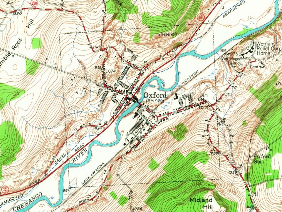
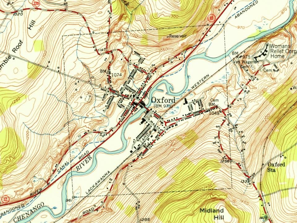


 1875
 1875
 1875
 2010
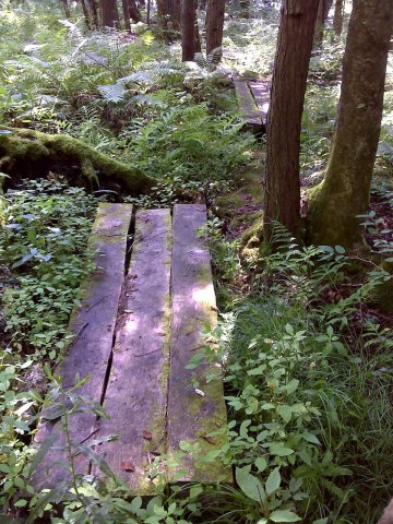 2010
 2010
 2010
 2007
 2007
