
Latham, New York, 2005
Latham’s story
127 years in pictures
Census counts: 9,661 in 1970, 13,680 in 2020. The archive holds 12 old photos and papers going back to 2005 and a map from 1986 on.
- 1899Latham is settled
Each edition grades its towns against each other only.

A town of 13,802, settled in 1899.
48% of adults 25 and older hold a bachelor’s degree or more in Latham, against 32% in New York’s towns and 29% across U.S. towns. We don’t grade Latham yet; the figures below are still real.
Census counts: 9,661 in 1970, 13,680 in 2020. The archive holds 12 old photos and papers going back to 2005 and a map from 1986 on.
Museums, parks, gardens and other places to visit around Latham. Close and well known come first.
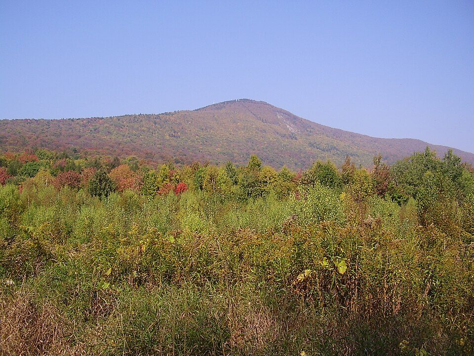 31 mi MountainMount Greylock
 7 mi Stadium & arenaMVP Arena
 8 mi MuseumUSS Slater
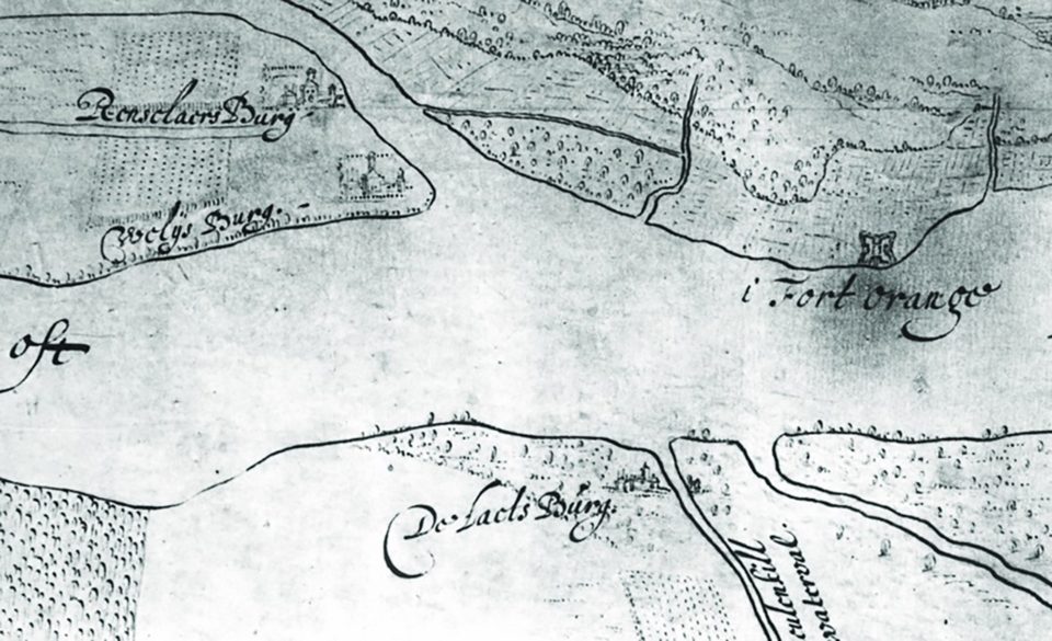 7 mi Ancient siteFort Orange
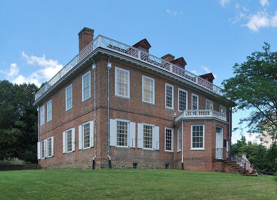 7 mi MuseumSchuyler Mansion
 6 mi TheatreThe Egg
Mount Greylock: Jstergis, CC BY 3.0 · MVP Arena: This image or media was taken or created by Matt H. Wade. To see his entire port, CC BY-SA 3.0 · USS Slater: UpstateNYer, CC BY-SA 3.0 · Fort Orange: Unknown authorUnknown author, Public domain · Schuyler Mansion: This image or media was taken or created by Matt H. Wade. To see his entire port, CC BY-SA 3.0 · The Egg: Nitant23, CC BY-SA 3.0
Latham is unincorporated, so Albany County and regional agencies provide most services.
EPA SDWIS (Oct 9, 2026) · HIFLD + EIA-861 2025 · Census 2020 ZCTAs · NCES 2024–25 · registration: vote.gov, updated Aug 3, 2026.
Ordered by what stands out in Latham.
Since 2009, 3 flood insurance claims have been paid out in Latham. Expected damage from storms and floods is lower here than in 94% of U.S. communities. Of the losses FEMA expects here, 61% come from inland flooding and 12% from tornadoes.
FEMA flood insurance claims · FEMA National Risk Index · OpenFEMA
NOAA U.S. Climate Normals, 1991–2020
Latham’s average commute stands at 21 minutes. Only 7% of working residents stay in Latham for work; the rest commute out. The typical household income for Latham comes to $105,000, above both New York’s towns ($82,000) and U.S. towns ($80,000). In Latham, 17% of workers do their job from home.
| Latham | New York towns | U.S. towns | |
|---|---|---|---|
| Average trip to work | 21 minutes | 25 minutes | 25 minutes |
| Work from home | 17% | 12% | 11% |
| Median household income | $105,000 | $82,000 | $80,000 |
| Working residents who work in town | 7.1% | 10% | 8% |
Census LEHD 2023 · ACS
Two figures for adults in Latham: 10% smoke cigarettes, 12% report frequent physical distress. On the CDC’s 32 measures, Latham is ahead of New York on 13 and behind on 2. For adults here, the share who report frequent mental distress is 14%.
| Latham | New York towns | U.S. towns | |
|---|---|---|---|
| Frequent mental distress (CDC PLACES) | 14% | 16% | 17% |
| Smoke cigarettes (CDC PLACES) | 10% | 13% | 14% |
| Frequent physical distress (CDC PLACES) | 12% | 14% | 14% |
| Fair or poor health (CDC PLACES) | 14% | 17% | 19% |
| What stands out | Latham | NY |
|---|---|---|
| Fewer uninsured adults | 4.6% | 7.9% |
| Fewer adults facing food insecurity | 10.1% | 17.2% |
| More adults who have had cancer | 9.5% | 7.7% |
CDC PLACES 2025 · modeled estimates for adults · CMS · HRSA
Among adults 25 and older, 48% have a four-year degree or more, against 40% across New York. By age, Latham looks like New York: each broad group is within 4 points. 18% of Latham residents are under 18.
| Latham | New York towns | U.S. towns | |
|---|---|---|---|
| Under 18 | 18% | 20% | 22% |
| Median age | 41.7 years | 43 years | 40.5 years |
52% women, 48% men
That’s an even split within the survey’s margin of ±3.6 points. Across New York, 51.2% of residents are women. Among residents 65 to 74, 62% are men (NY 47%).
| Latham | NY | U.S. | |
|---|---|---|---|
| Under 10 | 9.3% | 11% | 11.6% |
| 10 to 17 | 9.1% | 9.5% | 10.3% |
| 18 to 24 | 13.6% | 8.9% | 9.1% |
| 25 to 34 | 8.9% | 14.2% | 13.7% |
| 35 to 44 | 14.3% | 13% | 13.2% |
| 45 to 54 | 12.3% | 12.2% | 12.2% |
| 55 to 64 | 12.3% | 13.3% | 12.7% |
| 65 to 74 | 11.3% | 10.3% | 10.2% |
| 75 and older | 8.8% | 7.6% | 7% |
| No diploma | 4.4% | 12% | 10.4% |
| High school | 20.7% | 24.3% | 26% |
| Some college | 13.6% | 14.6% | 19.1% |
| Associate’s | 12.9% | 8.8% | 8.8% |
| Bachelor’s | 25.6% | 22.4% | 21.6% |
| Graduate | 22.8% | 17.9% | 14.1% |
U.S. Census Bureau · ACS 2020-2024 5-year estimates
Count the trails in 1 park or preserve and they come to 1.5 miles. Parks and preserves in Latham: one, of 9 acres. Also worth knowing: in Latham, the trail network density is 0.3 miles per square mile.
| Latham | New York towns | U.S. towns | |
|---|---|---|---|
| Conserved land | 1.4% | 5.2% | 4.3% |
| Miles of trail per square mile | 0.3 miles per square mile | 0.4 | 0.4 |
| Biggest places to walk | Trails | Acres |
|---|---|---|
| 1. Latham Kiwanis Park | — | 9 |
Trails & parks © OpenStreetMap contributors · Conserved land: USGS PAD-US
On the market in Latham: a median 7 days to sell. Its typical rent comes in at $1,472 a month. Among households here, 62% are owner-occupiers.
| Latham | New York towns | U.S. towns | |
|---|---|---|---|
| Households that own their home | 62% | 75% | 73% |
| Median rent | $1,472 a month | $1,101 a month | $1,185 a month |
Census ACS, 2020–24 · Zillow Home Value Index · Redfin Data Center
16 within 15 miles of the center of Latham
About 7 of every 100 Latham residents are enrolled in college, about the same as New York.
Hamlet and CDP in New York, United States
Latham is a hamlet and census-designated place in Albany County, New York, United States. It is located along U.S. Route 9 in the town of Colonie, a dense suburb north of Albany. In addition, Interstate 87 and NY Route 7 also run through the town itself. As of the 2020 census, the population was 13,680. Latham was a census-designated place in the 1970, 1980, and 1990 US Censuses, but ceased to be in the 2000 Census, then became a CDP again in 2020.
From Wikipedia, licensed CC BY-SA 4.0 · facts via Wikidata (CC0)
3 towns share a border with Latham.
| Town | NY rank | Overall | Cost | Safety | Schools | Health |
|---|---|---|---|---|---|---|
| Latham | — | — | — | — | — | — |
| Colonie | #253 | B+ | C | C− | A− | A |
| Watervliet | #593 | C− | B− | C | C− | C+ |
| Loudonville | — | — | — | — | — | — |
Latham and Loudonville aren’t graded (fewer than 1,000 residents, or not enough data). Compare Latham with a neighbor →
Short answers, built from the data on this page.
We don’t grade Latham yet; the figures below are still real.


