Johnstown dates to 1758, and 48% of its homes were built before 1940
More historic than 96% of U.S. towns · #118 of 758 in New York. What drives it
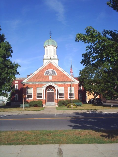
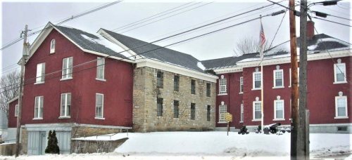
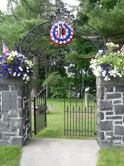
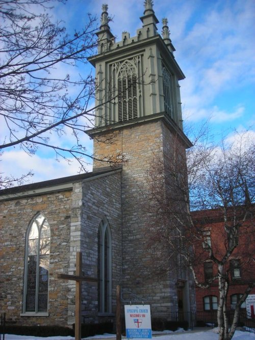
8 places in town are on the National Register, among them the Johnson Hall, a National Historic Landmark, and two historic districts with 2 buildings between them. Below: 9 old photos and papers, maps from 1887 on, and the census since 1870.
Founding year: Wikidata. First post office: 1795.The full story ↓
History grade
What drives Johnstown’s History grade
On its age, its old homes and the National Register, Johnstown is more historic than 96% of U.S. towns, #118 of 758 in New York. All 3 inputs are above most U.S. towns; its share of homes from before 1940 ranks highest and its National Register listings lowest.
A+
HistoryA character grade: shown, never part of Johnstown’s overall grade.
New York towns list more on the Register than most of the country (a typical New York town has 12.3 per 10,000 residents, the U.S. 2.4), so Johnstown’s 11.1 sits near the middle of its state (47% of New York towns have fewer) while its 9 historic buildings outnumber those of 75% of U.S. towns.
NoteThe founding year comes from Wikidata alone; no second source gives 1758.
How sure. Graded on any two of the three inputs instead, the letter would range from A to A+. The pre-1940 share is a Census survey estimate (±6.8 points).
Founding year: Wikidata (other dates in Quick answers). Homes: Census ACS 2020–24. National Register: National Park Service, May 2026 list; each listing counted once (boundary changes and added documentation belong to their listing), and a historic district counts its contributing buildings. How TownRatings grades history →
What stands out about Johnstown’s past
Read from the archive, the National Register and the record. The page puts what stands out first.
National Park Service, National Register of Historic Places. Photos from Wikimedia Commons, credited on each place’s page.
Every building
Johnstown, building by building, 1887–1912
Fire insurance maps drew every building, what it was made of and what it was used for, so insurers could price the risk of fire. Pick a year, then a sheet.
The Irishman William Johnson came to the Province of New York from Ireland in 1738. Johnson was a trader who learned Indigenous languages and culture and formed close relationships with many Native American leaders, especially those of the Mohawk and other members of the Iroquois Confederacy. Johnson made use of his alliances and influence with the Iroquois on behalf of the British during the French and Indian War, in which he was a major general. He helped Great Britain defeat France and take over control of certain territories in North America. After the war, when control of all of Canada passed to Britain, Johnson was appointed Superintendent of Northern Indians, and took charge of all British government relations with the Native American nations bordering the Great Lakes and the colonies of New York and Pennsylvania.
Passages that mention Johnstown, cut from the printed page as they were published.
The complete history of the Johnstown and Conemaugh valley flood1889 · page 156Read the page →
Read the text
of railway ties, even railroad iron, yes, even a locomotive weighing twenty-five tons was carried along by the dreadful velocity of that wall of water. It took about three minutes to transform the city of Johnstown into a waste of boiling water. All of the drift which was about ten miles in length, became clogged up at the Pennsylvania Railroad bridge. Many of the victims of the disaster were taken off from the drift as it was piled up some thirty feet above the
Text read by machine from the scan; it may contain errors.
The complete history of the Johnstown and Conemaugh valley flood1889 · page 40Read the page →
Read the text
tance east of Johnstown, and runs to the borough, where it is joined by Stony Creek. The river passes under a heavy stone railway bridge, and by the neighboring village of Cambria, named from the county of which Johnstown is the seat. Then it continues westward, makes its way by Blairsville to the Kiskiminitas, which is one of the principal feeders of the Alleghany Biver. Williamsport is in the drainage basin of the Atlantic slope, while Johnstown has
Text read by machine from the scan; it may contain errors.
Scans and text from the Internet Archive. Books published in 1930 or earlier, which are in the public domain.
Timeline
Johnstown, 1758 to 1960
Woven from the archive, old maps, post office records, the National Register and the people born here.
Nothing in the archives for these yearsWeddings on Main Street, storms, parades, school pictures, the old store. If it’s in your family album, it belongs here.
In 1758, according to Wikidata. Johnstown’s post office opened in 1795, and the census of 1870 counted 3,282 people here.
How does Johnstown rank for history?
Johnstown is more historic than 96% of U.S. towns, #118 of 758 in New York. The History grade combines the town’s founding era, the share of homes built before 1940 and its National Register listings. It’s a character grade, so it isn’t part of the overall grade. How it works.
What is on the National Register in Johnstown?
8 listings: 6 buildings and 2 historic districts, the Johnson Hall and the Johnstown Colonial Cemetery, with 2 contributing buildings. 9 historic buildings in all.
How old are the homes in Johnstown?
48% of Johnstown’s homes were built before 1940 (Census estimate, ±6.8 points), against a typical 27% for a New York town; the median home was built in 1941.
Founding dates: Wikidata, Wikipedia, the U.S. post office records of Blevins & Helbock (CC0) and the Census. Homes by year built: Census ACS 2020–24. National Register of Historic Places: National Park Service (list of May 22, 2026). Old photos, postcards and papers: Wikimedia Commons, the Library of Congress and other public archives, credited on each item’s page. Maps: U.S. Geological Survey historical topographic maps (via Esri) and Sanborn fire-insurance maps (Library of Congress). History text and census tables: Wikipedia (CC BY-SA 4.0). Places that used to be: USGS Geographic Names Information System (2021).
From Wikimedia Commons (3), the Library of Congress (6), Wikidata (3), the National Register of Historic Places (8), Wikipedia, Wikidata and Wikipedia for famous people, U.S. Geological Survey historical maps, U.S. Census counts (via Wikipedia), the US Post Offices dataset (Blevins & Helbock), the USGS Geographic Names Information System, Sanborn fire insurance maps (Library of Congress) and old county and town histories (Internet Archive). Archive images are copied here with their credits and licenses, shown on each photo’s page. Refreshed monthly.


 ★ Landmark




 1888
 1905
 1905
 1905
 1905
 1905

