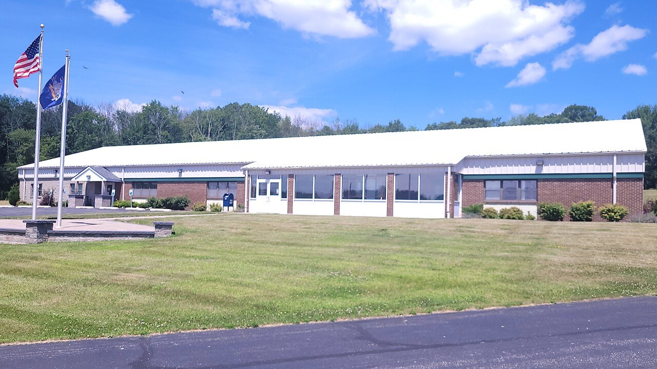
Greenville has 1,694 acres of parks, 362 for every 1,000 residents
26 miles of mapped trail cross Greenville, 0.9 per square mile of land. 10% of Greenville’s land is conserved, about 1,849 acres. The biggest trail networks: Huckleberry Ridge State Forest (13.6 mi), Greenville Town Park (0.8 mi).
Ahead of 80% of U.S. towns · #223 of 758 in New York. What drives it
Conserved land
10%
1,849 acres · of 30.0 sq mi of land
Trails
26 mi
0.9 per sq mi of land
Park land
1,694 ac
362 acres per 1,000 residents
Near a park
34%
of residents within ½ mile
Lakes & rivers
5
1 beach
What kind of outdoors town is Greenville?
Read from the map. The page puts what stands out first.
On conserved land, trails, park land and how close residents live to a park, Greenville is ahead of 80% of U.S. towns, #223 of 758 in New York. Park acres per resident hold the grade up; the share of residents near a park pulls it down.
A−
OutdoorsA character grade: shown, never part of Greenville’s overall grade.
How sure. Graded on any three of the four inputs instead, the letter would range from B+ to A. Trails and many small parks come from OpenStreetMap, mapped by volunteers, so coverage varies from town to town; the half mile is a straight line from each census block, so a river or highway in the way isn’t counted against it.
10% of Greenville’s land. Who manages Greenville’s conserved land, from the USGS Protected Areas Database. Approximate, because parcels can overlap.
State conservation1,519 ac
Other state land979 ac
Land trusts & nonprofits424 ac
Town or city16 ac
Other or Unknown Local Government16 ac
State natural resources3 ac
State Conservation Area · 1,519 acState Resource Management Area · 660 acState Wilderness · 317 acAgricultural Easement · 220 acPrivate Conservation · 205 ac
Good to know
Conserved doesn’t always mean open to visitors. 220 acres are conservation easements, usually private land. Public access isn’t recorded for 1 of 16 parcels. The walks above are places people visit.
The biggest protected parcels
Parcel (PAD-US)
Managed by
Acres
Public access
Huckleberry Ridge State Forest
State Conservation Area
State conservation
2,637
Open
Orange County Land Trust Land
Private Conservation
Land trusts & nonprofits
65
Open
Town of Greenville Land
Local Park
Town or city
16
Unknown
Chester Town Lands
Local Resource Management Area
Other or Unknown Local Government
14
Open
Appalachian Trail
State Recreation Area
State natural resources
3
Open
Palisades Interstate Park
State Park
Other state land
2
Open
Crawford Town Lands
Local Park
Other or Unknown Local Government
1
Open
Things to do
14 places to go in Greenville
Beaches, playgrounds, peaks, falls and more. Pick a kind.
Bike lanes are often missing from the map in smaller towns, so that number is likely low.
Courts & fields
3Soccer
2Tennis
1Basketball
1Baseball
Includes school and college facilities, which aren’t always open to the public.
When to get out
May is the best month for walking in Greenville
NOAA’s 1991–2020 normals for the town and the daylight at its latitude. Outlined months have long days, highs of 59 to 86 °F and little rain for the place.
Jan
Feb
Mar
Apr
May
Jun
Jul
Aug
Sep
Oct
Nov
Dec
Daylight (h)
9.5
10.6
11.8
13.3
14.5
15.1
14.9
13.8
12.4
11.0
9.8
9.2
High (°F)
34
37
46
59
69
77
82
80
73
62
50
39
Rain (in)
3.3
2.5
3.7
3.7
3.7
4.9
4.4
4.7
4.5
4.6
3.4
3.9
February is the driest month (2.5 in) and July the warmest (highs of 82 °F). 4.9 inches fall in June, the wettest month. The climate in Greenville →
The four inputs of the Outdoors grade, from the engine; shares are of land, not water.
Questions about parks and trails in Greenville
Where can I hike in Greenville?
The longest trail networks: Huckleberry Ridge State Forest, 13.6 miles; Greenville Town Park, 0.8 miles. Each one is on the map above, with directions to the nearest trailhead or parking.
How much of Greenville is conserved land?
10% of its land, against a typical 5% for a New York town and 4% nationally (PAD-US). Conserved doesn’t always mean open to visitors: easements are usually private land.
Are dogs allowed on Greenville’s trails?
Huckleberry Ridge State Forest and Greenville Town Park don’t have dog rules recorded on the map; check the signs at the trailhead.
Is there public land near Greenville?
65,646 acres of parks and open public land lie inside Greenville or within 10 miles of it (PAD-US), 1,705 of them inside the town line.
How much outdoors does Greenville have?
Ahead of 80% of U.S. towns on the Outdoors grade, #223 of 758 in New York. The grade combines the share of land that is conserved, miles of mapped trail per square mile of land, park acres per 1,000 residents and the share of residents within a half mile of a park. It’s a character grade, so it isn’t part of the overall grade. How it works.
Trail talk
Conditions, parking and favorite walks from Greenville neighbors.