173 years in pictures
Census counts: 1,600 in 1860, a peak of 4,770 in 1900, 2,934 in 2020. The archive holds 12 old photos and papers going back to 1866 and 3 maps from 1953 on.
- 1853Green Island is settled
Each edition grades its towns against each other only.

Green Island's standout: it is easier to get around on foot or by transit than 98% of U.S. towns. Overall it grades C−, ranked 639th of 745 in New York. 4% of its land is conserved. Its weakest subject is schools: its schools rank behind 97% of the state's. 24% of households own their home in Green Island, where New York’s towns sit at 75% and U.S. towns at 73%. On civic life, just 64 of New York’s 1,187 towns do worse.
Where Green Island beats most towns.
2,620 counted in 2010 and 2,934 in 2020; an estimated 2,966 in 2025.
U.S. Census 2010 & 2020 counts · Census Bureau estimate, July 1, 2025
Each subject compared with towns across the country (schools within New York), ordered by how far Green Island is from typical.
Its grades run from A+ for walkability (better than 98% of comparable towns) to D− for schools (better than 3%), so the C− overall blends very different results.
How TownRatings grades towns →
Census counts: 1,600 in 1860, a peak of 4,770 in 1900, 2,934 in 2020. The archive holds 12 old photos and papers going back to 1866 and 3 maps from 1953 on.
Museums, parks, gardens and other places to visit around Green Island. Close and well known come first.
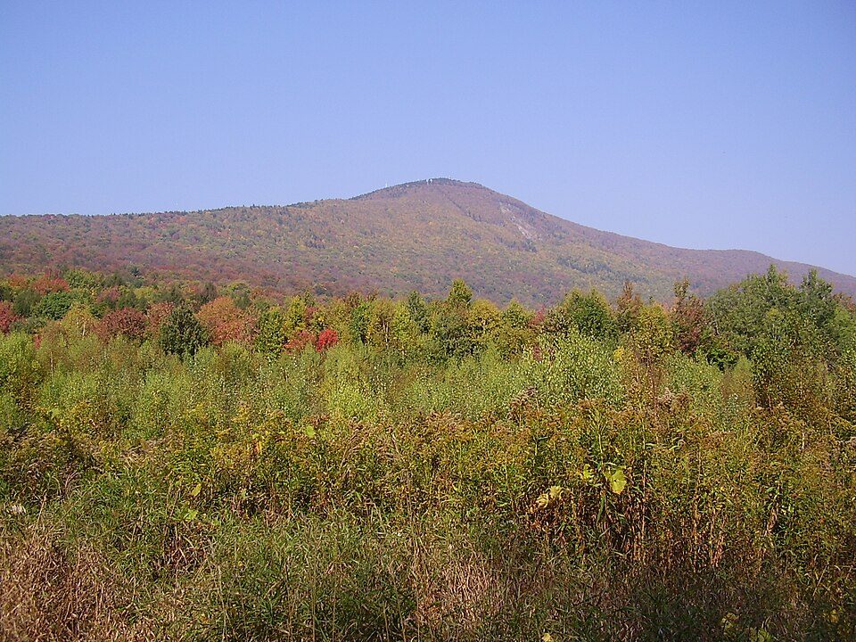
28 mi MountainMount Greylock
8 mi Stadium & arenaMVP Arena
9 mi MuseumUSS Slater
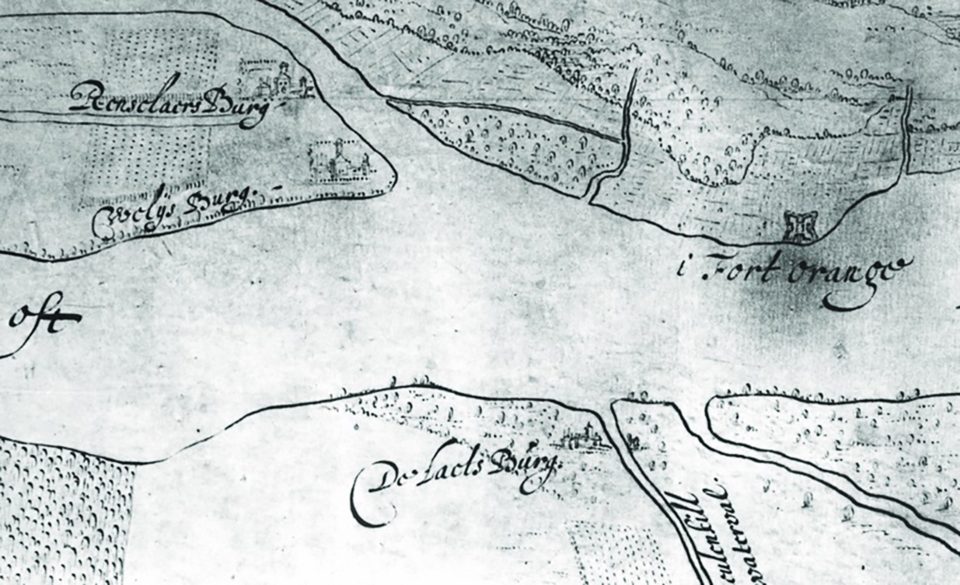
8 mi Ancient siteFort Orange
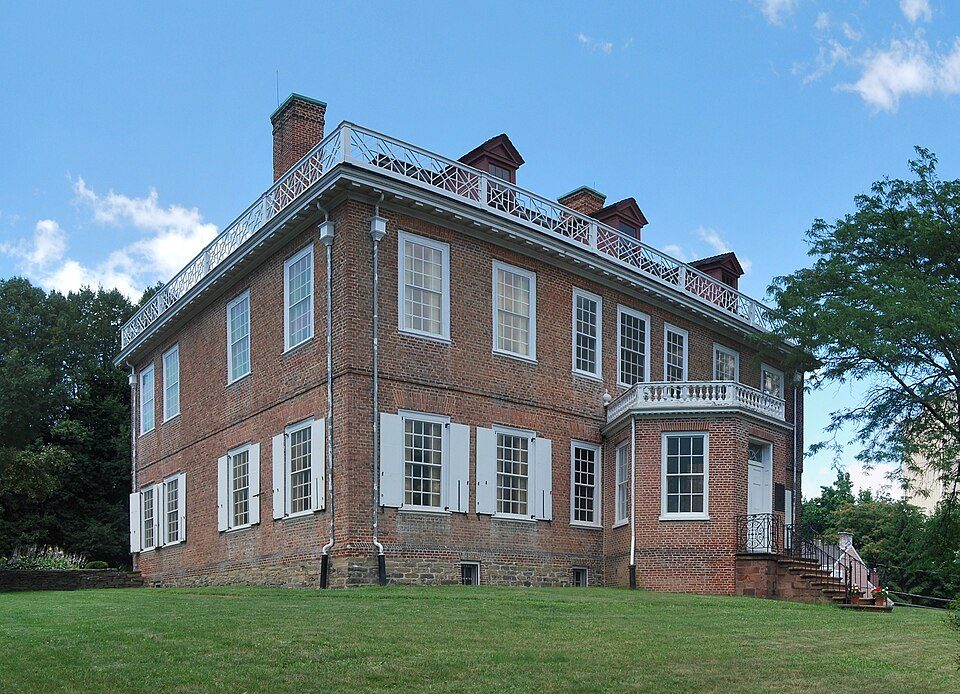
8 mi MuseumSchuyler Mansion
8 mi TheatreThe EggMount Greylock: Jstergis, CC BY 3.0 · MVP Arena: This image or media was taken or created by Matt H. Wade. To see his entire port, CC BY-SA 3.0 · USS Slater: UpstateNYer, CC BY-SA 3.0 · Fort Orange: Unknown authorUnknown author, Public domain · Schuyler Mansion: This image or media was taken or created by Matt H. Wade. To see his entire port, CC BY-SA 3.0 · The Egg: Nitant23, CC BY-SA 3.0
Who provides power, water and the rest in Green Island, and how to reach them.
EPA SDWIS (Oct 9, 2026) · HIFLD + EIA-861 2025 · Census 2020 ZCTAs · NCES 2024–25 · registration: vote.gov, updated Aug 3, 2026.
Ordered by what stands out in Green Island.
Green Island is healthier than towns with similar incomes and has homes that are cheap against local pay, but it carries more natural-hazard risk than most of New York (mostly inland flooding).
FEMA rates its natural-hazard risk higher than 91% of New York towns, with expected losses of about $522 per resident a year; that rating is what its C− for hazard risk is built on.
The FEMA risk score in Green Island is 70 of 100. Since 1979, 5 flood insurance claims have been paid out in Green Island.
FEMA flood insurance claims · FEMA National Risk Index · OpenFEMA
Green Island has chilly, snowy winters and pleasant summers. July afternoons reach 84°, January nights drop to 16° and about 59 inches of snow falls in a winter.
NOAA U.S. Climate Normals, 1991–2020
Green Island has about as many jobs (1,415) as working residents, but only 105 people both live and work here. The average commute takes 23.3 minutes, against 32.6 across New York.
Most working residents leave Green Island for work: only 8% work in town. 21% of Green Island residents live below the poverty line. The top destinations are Albany (22%), Colonie (17%) and Troy (8%).
| Green Island | New York towns | U.S. towns | |
|---|---|---|---|
| Below the poverty line | 21% | 9.5% | 9.6% |
| Median household income | $59,000 | $82,000 | $80,000 |
| Average trip to work | 23 minutes | 25 minutes | 25 minutes |
Census LEHD 2023 · ACS
Against the 8,755 U.S. towns with household incomes like Green Island’s, it is healthier than 72%, so its B− isn’t only a matter of income.
38% of adults feel lonely in Green Island. Green Island beats the New York average on 0 of 32 CDC measures and trails it on 12. 19% of adults report frequent mental distress in Green Island.
| Green Island | New York towns | U.S. towns | |
|---|---|---|---|
| Feel lonely (CDC PLACES) | 38% | 32% | 33% |
| Sleep under 7 hours (CDC PLACES) | 41% | 37% | 36% |
| Frequent mental distress (CDC PLACES) | 19% | 16% | 17% |
| Food insecurity (CDC PLACES) | 19% | 13% | 14% |
| What stands out | Green Island | NY |
|---|---|---|
| More smokers | 16% | 11.3% |
| More adults with depression | 24% | 17.5% |
| More adults with COPD | 8.2% | 6% |
CDC PLACES 2025 · modeled estimates for adults · CMS · HRSA
| Green Island | New York towns | U.S. towns | |
|---|---|---|---|
| Miles of trail per square mile | 0.6 miles per square mile | 0.4 | 0.4 |
| Conserved land | 3.8% | 5.2% | 4.3% |
| Biggest places to walk | Trails | Acres |
|---|---|---|
| 1. Vietnam Memorial Park | — | 4 |
| 2. Paine Street Park | — | 3 |
| 3. Lower Hudson Ave Park | 0.2 mi | 1 |
Trails & parks © OpenStreetMap contributors · Conserved land: USGS PAD-US
At 1.6 years of the Albany metro’s $88K median household income, the typical home costs less against local pay than in 97% of New York towns; that ratio is one input to its B for cost of living.
Zillow Home Value Index · Redfin Data Center
16 within 15 miles of the center of Green Island
About 5 of every 100 Green Island residents are enrolled in college, against 7 across New York.
Town and village in New York, United States
Green Island is a coterminous town-village in Albany County, New York, United States, some 8 miles (13 km) north of Albany. Green Island is one of only five such town-village amalgamations in New York. The population was 2,934 at the 2020 census, and the ZIP code is 12183. While the town of Green Island was once an island, it was connected to the mainland on the west side of the Hudson River in the 1960s. Green Island is also the smallest town, by area, in New York, covering 0.7 square miles (1.8 km2); by contrast, the largest towns in the state by area are Brookhaven, which covers an area of 531.5 square miles (1,377 km2) (though much of that is water), and Webb, which has the largest land…
From Wikipedia, licensed CC BY-SA 4.0 · facts via Wikidata (CC0)
5 towns share a border with Green Island.
Colonie next door grades higher for schools (A− to Green Island’s D−) and lower for cost of living (C to B).
| Town | NY rank | Overall | Cost | Safety | Schools | Health |
|---|---|---|---|---|---|---|
| Green Island · Green Island | #639 | C− | B | — | D− | B− |
| Colonie | #253 | B+ | C | C− | A− | A |
| Cohoes | #644 | C− | C | C+ | C− | C+ |
| Watervliet | #593 | C− | B− | C | C− | C+ |
| Troy | #699 | D | C+ | D | C− | B− |
Green Island reports no FBI crime data of its own. Green Island and Green Island are one community, graded once. Compare Green Island with a neighbor →
Short answers, built from the data on this page.
Green Island grades C− overall, better than 19% of U.S. towns and #639 of 745 in New York. It grades B− for health and D− for schools. Schools is its weak spot, with a D−.
The typical home is worth about $138,000, 74% below the New York typical home. Cost of living, which also weighs rents, property taxes and how many households pay 30% or more of their income for housing, grades B.