Wikipedia doesn’t have a history of Fly Creek yet. The photos, dates and memories neighbors add here are how it gets written.
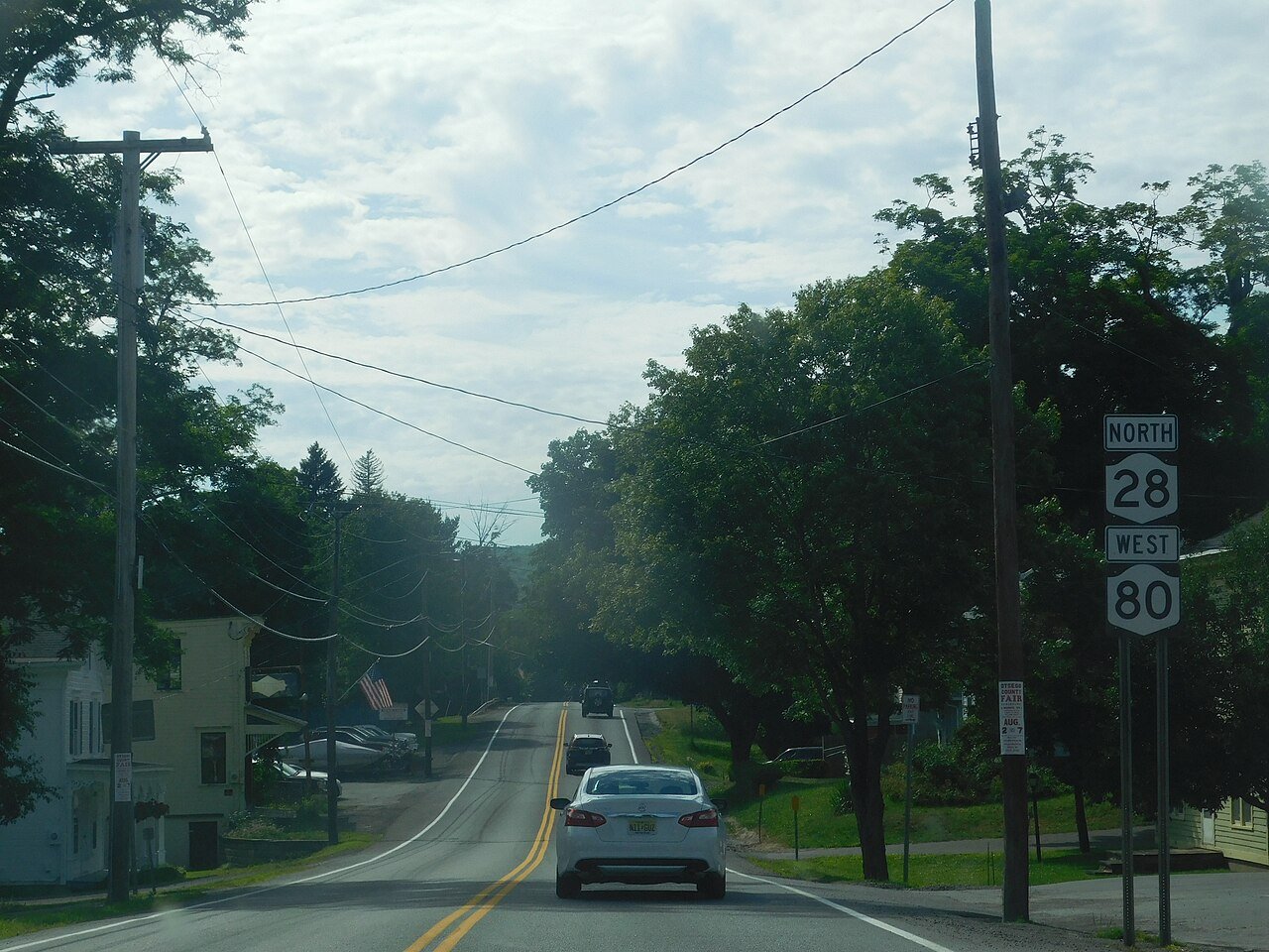
Fly Creek is a non-incorporated hamlet (and census-designated place) three miles west of the Village of Cooperstown on conjoined NY-28/NY-80, in the Town of Otsego, in Otsego County, New York, United States. The zipcode is 13337. The Fly Creek Cider Mill and Orchard is located by the hamlet. As of the 2020 census, Fly Creek had a population of 270. It is the location of the Fly Creek Grange No. 844, which is now a museum. Fly Creek Grange No. 844 is listed on the National Register of Historic Places. There is also a Fly Creek Historic District, which includes the grange hall. The hamlet was once served by the Southern New York Railroad, an electric trolley line that ran from Oneonta to Moha…
Its first post office opened in 1822.
Intro from Wikipedia. Population: U.S. Census Bureau.
On the map
Fly Creek on the map, 1907 to 1994
Every edition of the U.S. Geological Survey’s map of Fly Creek. Tap a year, or press play to watch the town change.
1907Cooperstown sheet · 1:62,500
U.S. Geological Survey historical topographic maps (public domain), via Esri’s collection of the scans. The red ring marks the center of Fly Creek.
From the old history books
What they wrote about Fly Creek in 1878
Passages that mention Fly Creek, cut from the printed page as they were published.
History of Otsego County, New York. With illustrations and biographical sketches of some of its prominent men and pioneers1878 · page 250Read the page →
Read the text
Benjamin and Michael Keyser settled in Fly Creek village in 181G. The latter served in the War of 1812, and was with the army at Plattsburg. In the year 1813 Clark Brow came to Fly Creek as a workman in the machineshop of Jarvis & Todd. He built and operated the first cotton machinery in this section of country.
Text read by machine from the scan; it may contain errors.
Scans and text from the Internet Archive. Books published in 1930 or earlier, which are in the public domain.
By decade
No old photos in the archives yet
Weddings on Main Street, storms, parades, school pictures, the old store. If it’s in your family album, it belongs here.
Be the first to add onePhotograph a print flat, in daylight, no flash.
Founding dates: Wikidata, Wikipedia, the U.S. post office records of Blevins & Helbock (CC0) and the Census. Homes by year built: Census ACS 2020–24. National Register of Historic Places: National Park Service (list of May 22, 2026). Old photos, postcards and papers: Wikimedia Commons, the Library of Congress and other public archives, credited on each item’s page. Maps: U.S. Geological Survey historical topographic maps (via Esri) and Sanborn fire-insurance maps (Library of Congress). History text and census tables: Wikipedia (CC BY-SA 4.0). Places that used to be: USGS Geographic Names Information System (2021). How TownRatings grades history →
From Wikidata and Wikipedia for famous people, U.S. Geological Survey historical maps and old county and town histories (Internet Archive). Archive images are copied here with their credits and licenses, shown on each photo’s page. Refreshed monthly.