
Map · Wikimedia Commons
FLT M17 11.42 mi - Large Abbott Loop Map Sign - E end loop
2010from the source
javajoe6 · Wikimedia Commons · CC BY-SA 3.0
What neighbors know
Know something about this?
Lived nearby, know who’s pictured, or remember what it used to be? Add it here.
A memory or a clue…Sign in to add a memory
No memories yet. Know what stands here today, who is pictured, or when it was taken? Be the first.
Same decade
The whole archive →Danby in the 2010s
 2010FLT M17 10.1 mi - Puncheon at Smiley Rd, 8' long, 2x6…
 2010FLT M17 10.12 mi - Bridge, 16' long, 2x6x18 in deck b…
 2010FLT M17 10.13 mi - Puncheon, two 4x6's 14' long, 4x6 …
 2010FLT M17 11.4 mi - Bridges, 3 4x4's, RR tie sills, 8',…
 2010FLT M17 12.0 mi - Bridge east of Curtis Rd, 18' long,…
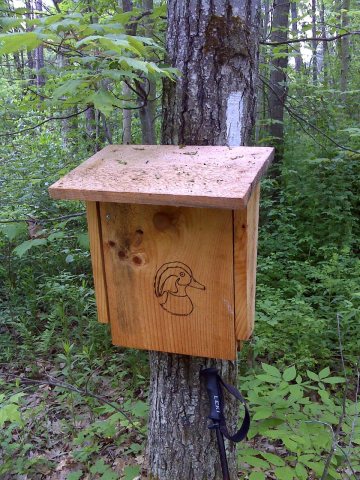 2010FLT M17 12.9 mi - Register near Fisher Settlement Rd
 2010FLT M17 13.2 mi - Puncheon, 3 4x4's, 18' long, RR tie…
 2010FLT M17 13.7 mi - Puncheon 8' long, 2 2x6s, RR tie si…
 2010FLT M17 14.0 mi - Puncheon, two 2x6's, 8' long, RR ti…
 2010FLT M17 14.1 mi - Two puncheons, two 2x6's, 8' long, …
 2010FLT M17 14.2 mi - Puncheon, two 2x6's, 12' long, RR t…
 2010FLT M17 14.6 mi, Lady Slipper Orchid, just S of Travo…
Archive images are copied here with their credits and licenses. The original at Wikimedia Commons.