Cincinnatus dates to 1795, and 43% of its homes were built before 1940
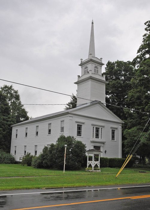
1 place in town is on the National Register, among them a historic district with 27 buildings. Below: 5 old photos and papers, maps from 1904 on, and the census since 1820.
The region was part of the Central New York Military Tract used to pay soldiers of the American Revolution. One of the townships was named Cincinnatus. Members of the Oneida tribe persisted in the town during its early history.
The town was first settled circa 1795. It was one of the original six towns of Cortland County. The town was formed from the town of Solon in 1804. In 1818, Cincinnatus was split so that part of its territory was used to create the towns of Freetown, Willet, and Marathon.
Freetown was organized April 21st, 1818. It comprises the north-western quarter of the old military township of Cincinnatus, and lot No. 20 from the eastern part of Virgil. The soil is a clay loam, better adapted to grazing than grain growing ; but more recently has produced good crops of corn, oats, barley, flax, and potatoes ; wheat not being grown here to any considerable extent. Freetown is situated on a ridge between
Text read by machine from the scan; it may contain errors.
Scans and text from the Internet Archive. Books published in 1930 or earlier, which are in the public domain.
By decade
Cincinnatus, decade by decade
One decade in the archive so far: the 1930s. Scroll each row; tap a photo for its story.
Nothing in the archives for these yearsWeddings on Main Street, storms, parades, school pictures, the old store. If it’s in your family album, it belongs here.
Founding dates: Wikidata, Wikipedia, the U.S. post office records of Blevins & Helbock (CC0) and the Census. Homes by year built: Census ACS 2020–24. National Register of Historic Places: National Park Service (list of May 22, 2026). Old photos, postcards and papers: Wikimedia Commons, the Library of Congress and other public archives, credited on each item’s page. Maps: U.S. Geological Survey historical topographic maps (via Esri) and Sanborn fire-insurance maps (Library of Congress). History text and census tables: Wikipedia (CC BY-SA 4.0). Places that used to be: USGS Geographic Names Information System (2021). How TownRatings grades history →
From Wikimedia Commons (5), the Library of Congress (1), the National Register of Historic Places (1), Wikipedia, Wikidata and Wikipedia for famous people, U.S. Geological Survey historical maps, U.S. Census counts (via Wikipedia), the US Post Offices dataset (Blevins & Helbock), the USGS Geographic Names Information System and old county and town histories (Internet Archive). Archive images are copied here with their credits and licenses, shown on each photo’s page. Refreshed monthly.




 Date?
 Date?
 Date?
 Date?
 2007

