Founding year: the first Camden post office (Blevins & Helbock, CC0).The full story ↓
History grade
What drives Camden’s History grade
On its age, its old homes and the National Register, Camden is more historic than 84% of U.S. towns. Its share of homes from before 1940 holds the grade up; its National Register listings pull it down.
A−
HistoryA character grade: shown, never part of Camden’s overall grade.
New York towns list more on the Register than most of the country (a typical New York town has 12.3 per 10,000 residents, the U.S. 2.4), so Camden’s 3.7 sits below most of its state (31% of New York towns have fewer) while its 1 listings outnumber those of 51% of U.S. towns.
How sure. Graded on any two of the three inputs instead, the letter would range from B to A+. The pre-1940 share is a Census survey estimate (±6.9 points). The founding year is the first post office, not a stated founding date.
Founding year: the first post office (other dates in Quick answers). Homes: Census ACS 2020–24. National Register: National Park Service, May 2026 list; each listing counted once (boundary changes and added documentation belong to their listing), and a historic district counts its contributing buildings. How TownRatings grades history →
What stands out about Camden’s past
Read from the archive, the National Register and the record. The page puts what stands out first.
The first settlement took place circa 1792. The town was formed from the Town of Mexico in 1799. Camden is home to International Wire, which is its largest employer. The town has only two stop lights, with the second one installed in 1999.
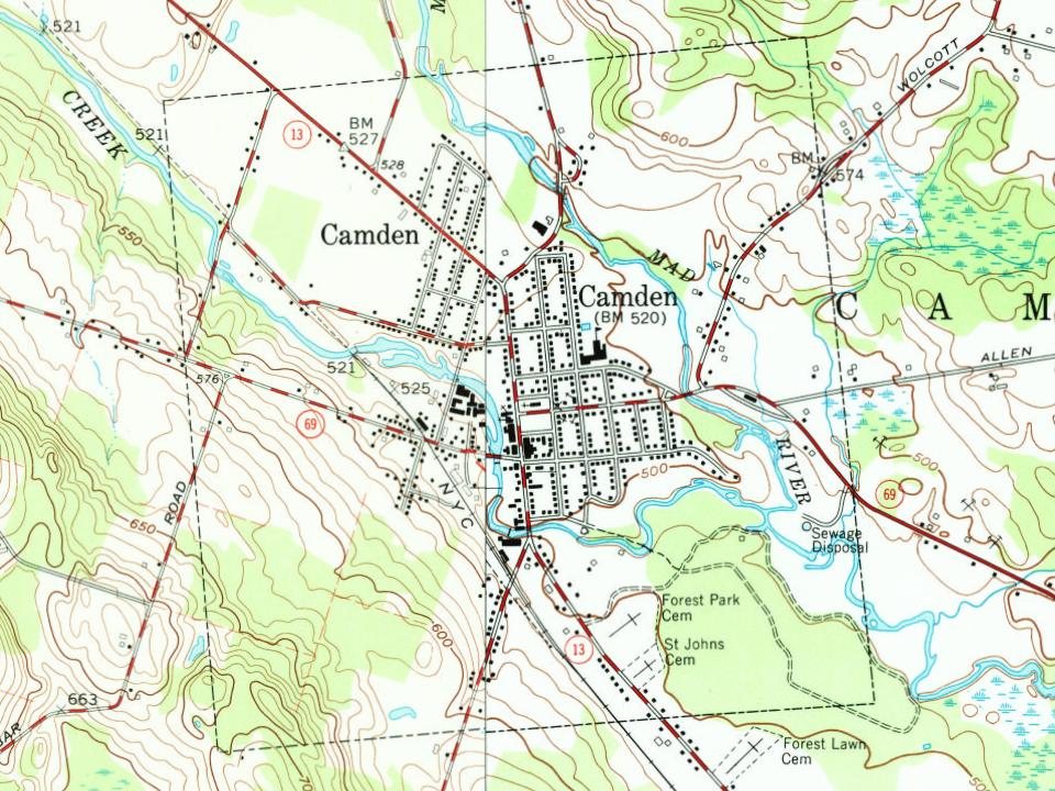
Fire insurance maps drew every building, what it was made of and what it was used for, so insurers could price the risk of fire. Pick a year, then a sheet.
Sanborn Map Company, via the Library of Congress. Editions published in 1930 or earlier, which are in the public domain.
From the old history books
What they wrote about Camden, 1897–1907
Passages that mention Camden, cut from the printed page as they were published.
History of Camden and Rockport, Maine1907 · page 483Read the page →
Read the text
Sect. 2. The several inhabitants of the town of Camden shall be holden to pay all taxes which have been legally assessed upon them by the town of Camden, and collectors of taxes for said town of Camden are hereby authorized and required to collect and pay all taxes to them already committed according to their respective warrants. All moneys now in the treasury of said town of Camden and all sums which shall hereafter be received from taxes heretofore assessed, shall be applied to the
Text read by machine from the scan; it may contain errors.
History of Camden and Rockport, Maine1907 · page 484Read the page →
Read the text
like proportion, or may partition said farm according to law. All the other real property of the town of Camden shall be held and owned by the said towns of Camden and Rockport respectively, by the town where said property is located. All the personal property of the town of Camden shall be held and owned by the town in possession thereof. The books and papers and records of the town of Camden shall be retained by said town of Rockport, and each town shall have access to the same. No
Text read by machine from the scan; it may contain errors.
Pioneer history of Camden, Oneida County, New York ..1897Read the page →
Read the text
The Oswego County History tells us "the road called Mexico street was cut or extended from Camden to Vera Cruz, passing through the present towns of Amboy, Parish and Mexico about 1804." It was the main road from Rome to Mexico, running through what was later called Vienna, up to Phelps' tavern, then turning to the left, running up over Preston Hill, coming out onto what is now a main road from Camden to Mexico, not far from the Deacon Osborn place. The Mexico street
Text read by machine from the scan; it may contain errors.
Scans and text from the Internet Archive. Books published in 1930 or earlier, which are in the public domain.
Timeline
Camden, 1831 to 1943
Woven from the archive, old maps, post office records, the National Register and the people born here.
Nothing in the archives for these yearsWeddings on Main Street, storms, parades, school pictures, the old store. If it’s in your family album, it belongs here.
The Camden post office opened in 1807, the earliest record of the town by name (U.S. post office records).
How does Camden rank for history?
Camden is more historic than 84% of U.S. towns. The History grade combines the town’s founding era, the share of homes built before 1940 and its National Register listings. It’s a character grade, so it isn’t part of the overall grade. How it works.
How old are the homes in Camden?
59% of Camden’s homes were built before 1940 (Census estimate, ±6.9 points), against a typical 27% for a New York town; the median home was built in 1938.
Founding dates: Wikidata, Wikipedia, the U.S. post office records of Blevins & Helbock (CC0) and the Census. Homes by year built: Census ACS 2020–24. National Register of Historic Places: National Park Service (list of May 22, 2026). Old photos, postcards and papers: Wikimedia Commons, the Library of Congress and other public archives, credited on each item’s page. Maps: U.S. Geological Survey historical topographic maps (via Esri) and Sanborn fire-insurance maps (Library of Congress). History text and census tables: Wikipedia (CC BY-SA 4.0). Places that used to be: USGS Geographic Names Information System (2021).
From Wikimedia Commons (4), the Library of Congress (1), Wikipedia, Wikidata and Wikipedia for famous people, U.S. Geological Survey historical maps, U.S. Census counts (via Wikipedia), Sanborn fire insurance maps (Library of Congress) and old county and town histories (Internet Archive). Archive images are copied here with their credits and licenses, shown on each photo’s page. Refreshed monthly.
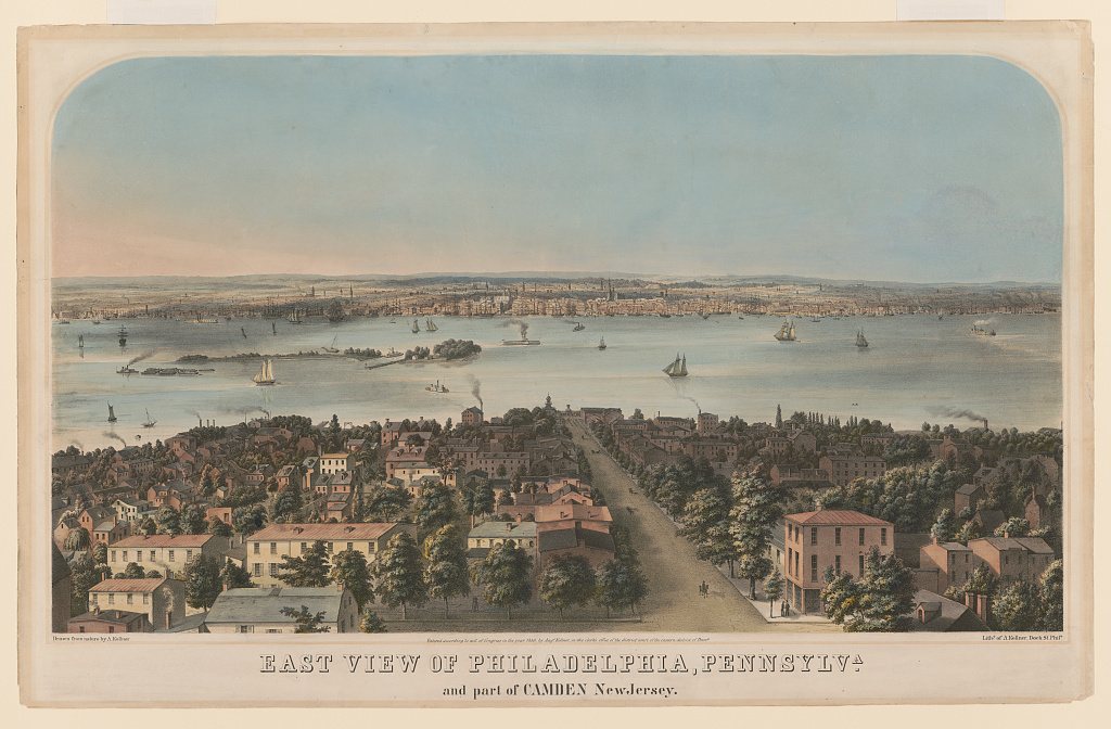





 Date?
 Date?
 2012