Guest, Sign inJoin

Post to Averill Park

We’ll email a one-tap link to publish your post. No password, and nothing is public until you click it.
Already a member? Sign in
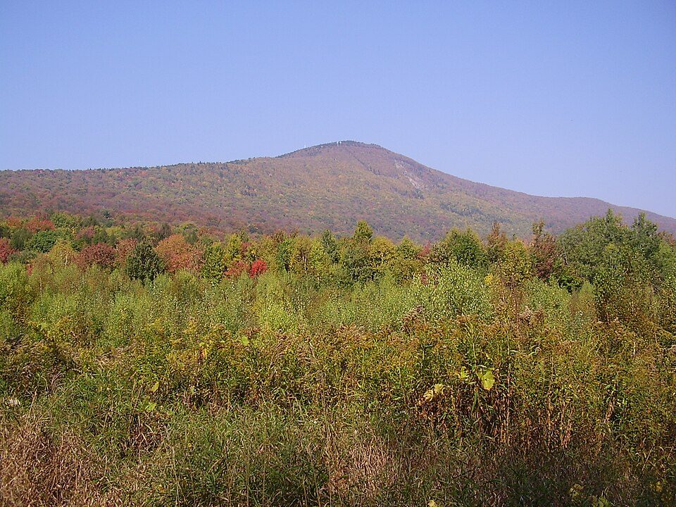
2014-08-28 13 31 47 View east along West Sand Lake Road (New York State Route 43) in the Averill Park section of Sand Lake, New York
New York›Rensselaer County

Averill ParkNY

Today 1,615 people live in this town, first settled in 1882.

1 bordering townMap →
Photo: Famartin · CC BY-SA 4.0
Photo of Averill Park

Averill Park, NY · Photo: Famartin · CC BY-SA 4.0 · Source ↗

Is Averill Park a good place to live?

Averill Park’s median age is 50.9 years, where New York’s towns sit at 43 years and U.S. towns at 40.5 years. The biggest place to walk is Sand Lake Walking Trail, 33 acres with 1.1 miles of trail. We don’t grade Averill Park yet; the figures below are still real.

A growing town

Averill Park has grown 24% from 2010 to 2020

1,693 counted in 2010 and 2,098 in 2020.

1,6932010
2,0982020

U.S. Census 2010 & 2020 counts

Sand Lake Baptist Church May 10
Sand Lake Baptist Church May 10, 2010
Averill Park’s story

144 years in pictures

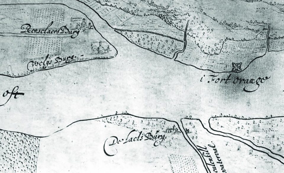
Census counts: 1,517 in 2000, 2,098 in 2020. The archive holds 6 old photos and papers going back to 2010 and 4 maps from 1893 on.

  • 1882Averill Park is settled
Explore the history →
Nearby attractions

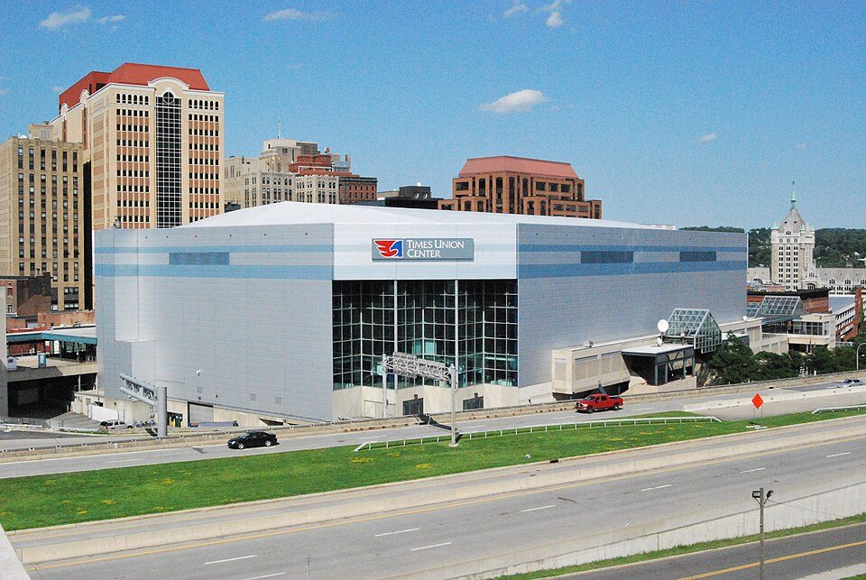
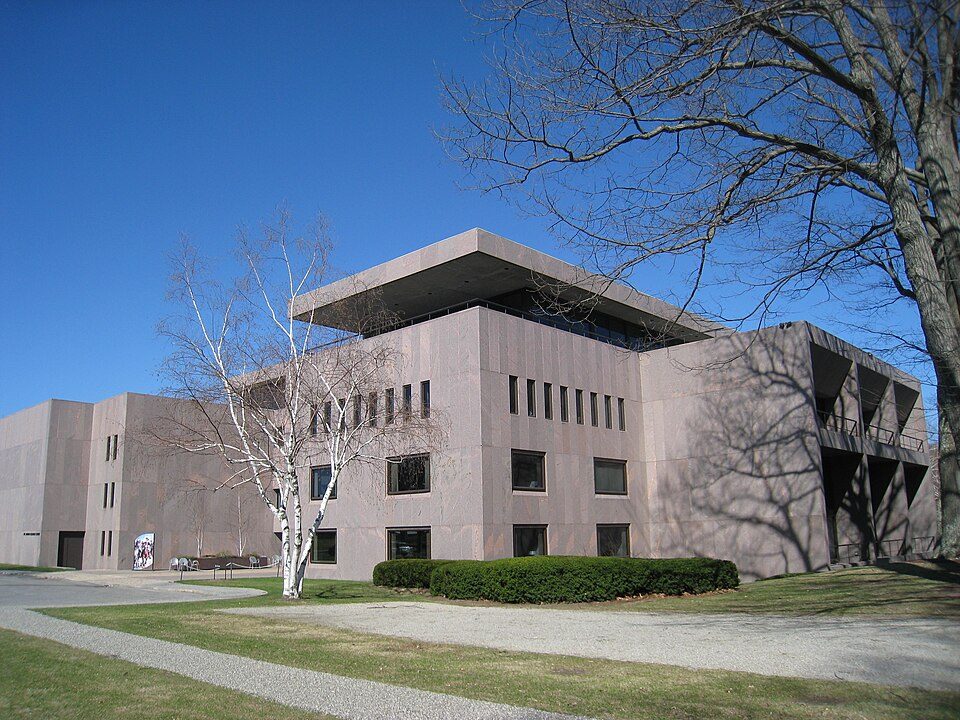
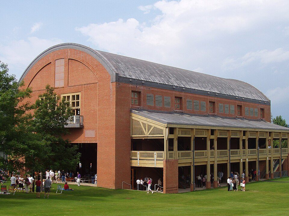
Mount Greylock and 57 more within 40 miles

Museums, parks, gardens and other places to visit around Averill Park. Close and well known come first.

All 107 attractions →
Sources: National Park Service · ski areas © OpenSkiMap / OpenStreetMap contributors · Wikidata · Wikipedia readership · photos via Wikimedia Commons
Photo credits

Mount Greylock: Jstergis, CC BY 3.0 · MVP Arena: This image or media was taken or created by Matt H. Wade. To see his entire port, CC BY-SA 3.0 · Clark Art Institute: Daderot, Public domain · USS Slater: UpstateNYer, CC BY-SA 3.0 · Tanglewood: Daderot., CC BY-SA 3.0 · Fort Orange: Unknown authorUnknown author, Public domain

Getting set up

Moving to Averill Park: who provides what

Averill Park is unincorporated, so Rensselaer County and regional agencies provide most services.

PowerNew York State Elec & Gas22.6¢/kWh · EIA 2025HIFLD · EIA
WaterHomeroom Lofts water systemNo health-based violations in 5 years · EPAEPA
Internet3 providers98% of addresses get 100/20 MbpsFCC
Trash & county servicesRensselaer CountyRensselaer County provides services here
SchoolsAverill Park Central School DistrictWhich school depends on your addressNCES
Register to voteOnlineIn New York you can register online until 10 days before Election Day, in person until 10 days before Election Day, or by mail (postmarked 15 days before and received 10 days before).vote.gov
Who runs elections hereRensselaer County Board of ElectionsRensselaer County; contacts on the Handbook page.FVAP, Sep 2025
ZIP code1201812018 99%Census 2020

EPA SDWIS (Oct 9, 2026) · HIFLD + EIA-861 2025 · Census 2020 ZCTAs · NCES 2024–25 · registration: vote.gov, updated Aug 3, 2026.

The data

Ordered by what stands out in Averill Park.

Who lives here

Fewer adults under 35 in Averill Park than across New York

Just over two in five adults 25 and older have a bachelor’s degree or more, vs 40% across New York. Adults 18 to 34 are nearly one in ten residents (23% statewide); adults 35 to 64 are 49% of residents (39% statewide). The share of residents in Averill Park who are 65 or older: 23%.

50.9median age · NY 39.8
Averill ParkNew York townsU.S. towns
Bachelor’s degree or more, 25+42%32%29%
Aged 65 or older23%20%18%
Averill ParkNew YorkUnited States

Ages · share of residents

Education · adults 25 and older

No diploma1%
High school25%
Some college14%
Associate’s19%
Bachelor’s19%
Graduate23%

Women and men · all residents

Somewhere between 26% and 63% women

The Census survey reached too few of Averill Park’s residents to say more: its margin here is ±18.2 points. Across New York, 51.2% of residents are women.

Ages and education in Averill Park
Averill ParkNYU.S.
Under 106.9%11%11.6%
10 to 1712.5%9.5%10.3%
18 to 245.2%8.9%9.1%
25 to 343.7%14.2%13.7%
35 to 449.5%13%13.2%
45 to 5418.1%12.2%12.2%
55 to 6421.2%13.3%12.7%
65 to 7416%10.3%10.2%
75 and older6.9%7.6%7%
No diploma1.1%12%10.4%
High school24.6%24.3%26%
Some college13.5%14.6%19.1%
Associate’s18.5%8.8%8.8%
Bachelor’s19.4%22.4%21.6%
Graduate23%17.9%14.1%

U.S. Census Bureau · ACS 2020-2024 5-year estimates · in a town of 1,600, single groups can be off by several points

Housing

Homes in Averill Park are worth about $397K, by Zillow’s estimate

Just over nine in ten households are owner-occupiers in Averill Park. Typical home values rose 9.5% in the year to September 2026.

$397KZillow home value

Typical home value

Averill Park$397K
New York$525K
+9.5%
value change, 1 year
3
homes sold in September

Zillow Home Value Index · Redfin Data Center

Climate

In Averill Park, expect snowy winters and pleasant summers

The range runs from 15° on a January night to 82° on a July afternoon, with about 53 inches of snow a winter.

53″snow a winter

Typical low → high °F

Winter18–35°
Spring35–57°
Summer58–80°
Fall41–60°
Oct 15
typical first frost
Apr 27
typical last frost
+1.6°
vs. the 20th-century average

NOAA U.S. Climate Normals, 1991–2020

Work & commute

Averill Park sends most of its workers out of town

Jobs based in Averill Park fell to 877 in 2023, 155 fewer than in 2013. Only 6% of working residents stay in Averill Park for work; the rest commute out. The average trip to work for Averill Park comes to 23 minutes. The top destinations are Albany (23%), Colonie (12%) and East Greenbush (8%).

6%work in town
Averill ParkNew York townsU.S. towns
Average trip to work23 minutes25 minutes25 minutes
Working residents who work in town5.7%10%8%

Where working residents work

In Averill Park6%
Albany23%
Colonie12%
East Greenbush8%
Sand Lake7%
12 mi
median commute distance
877
jobs based in Averill Park
Balanced
jobs vs. working residents

Census LEHD 2023 · ACS

Natural hazards

Natural hazards: low risk in Averill Park, mostly inland flooding

FEMA expects less storm and flood damage in Averill Park than in 62% of U.S. communities. 13 flood insurance claims have been paid locally since 2009. Expected losses in Averill Park break down as 67% from inland flooding and 10% from tornadoes.

38risk score of 100
FEMA risk score
38Low riskLowerHigher
Inland floodingTornadoesHail
13
paid flood claims since 2009

FEMA flood insurance claims · FEMA National Risk Index · OpenFEMA

Health

How healthy Averill Park is

Averill Park: 7.7% of adults worry about having enough food. Among adults locally, 29% feel lonely and 14% report frequent mental distress.

Averill ParkNew York townsU.S. towns
Fair or poor health (CDC PLACES)13%17%19%
Feel lonely (CDC PLACES)29%32%33%
Frequent mental distress (CDC PLACES)14%16%17%
Smoke cigarettes (CDC PLACES)9.9%13%14%
32 measures vs. New York
15 better16 too close to call1 worse
What stands outAverill ParkNY
Fewer older adults who have lost all their teeth5.3%12.8%
Fewer adults facing food insecurity7.7%17.2%
More adults who have had cancer10.1%7.7%
Samaritan Hospital of Troy, New York
8.6 mi away · emergency room
None
primary care, dental or mental-health shortage

CDC PLACES 2025 · modeled estimates for adults · CMS · HRSA

Outdoors

Averill Park has set aside 0.5% of its land for conservation

Walkers can cover 2.3 miles of trail in 2 parks and preserves. In Averill Park, the trail density is 0.6 miles per square mile.

0.5%conserved
Averill ParkNew York townsU.S. towns
Conserved land0.5%5.2%4.3%
Miles of trail per square mile0.6 miles per square mile0.40.4
0.5%
conserved · 12 of 2,645 acres
2.3 mi
of trails · 0.6 per sq mi
Biggest places to walkTrailsAcres
1. Sand Lake Walking Trail1.1 mi33
2. Butler Park—10

Trails & parks © OpenStreetMap contributors · Conserved land: USGS PAD-US

Keep exploring

Everything we know about Averill Park

16pages on Averill Park
After high school

Colleges nearby

13 within 15 miles of the center of Averill Park

About Averill Park

CDP in New York, United States

Averill Park is a census-designated place within the town of Sand Lake in Rensselaer County, New York, United States. The population was 2,098 at the 2020 census. The community is named after the local Averill family. It is located on Route 43, south of Crystal Lake and east of West Sand Lake. The Sand Lake Baptist Church was listed on the National Register of Historic Places in 2004.

From Wikipedia, licensed CC BY-SA 4.0 · facts via Wikidata (CC0)

Area
3.1 sq mi
Elevation
784 ft
ZIP code
12018

Averill Park’s neighbors

One town shares a border with Averill Park.

Explore the map →
West Sand LakeWest Sand LakeAverill Park
How the neighbors grade
TownNY rankOverallCostSafetySchoolsHealth
Averill Park——————
West Sand Lake——————

Averill Park and West Sand Lake aren’t graded (fewer than 1,000 residents, or not enough data). Compare Averill Park with a neighbor →

Questions about Averill Park

Short answers, built from the data on this page.

Is Averill Park, NY a good place to live?

We don’t grade Averill Park yet; the figures below are still real.