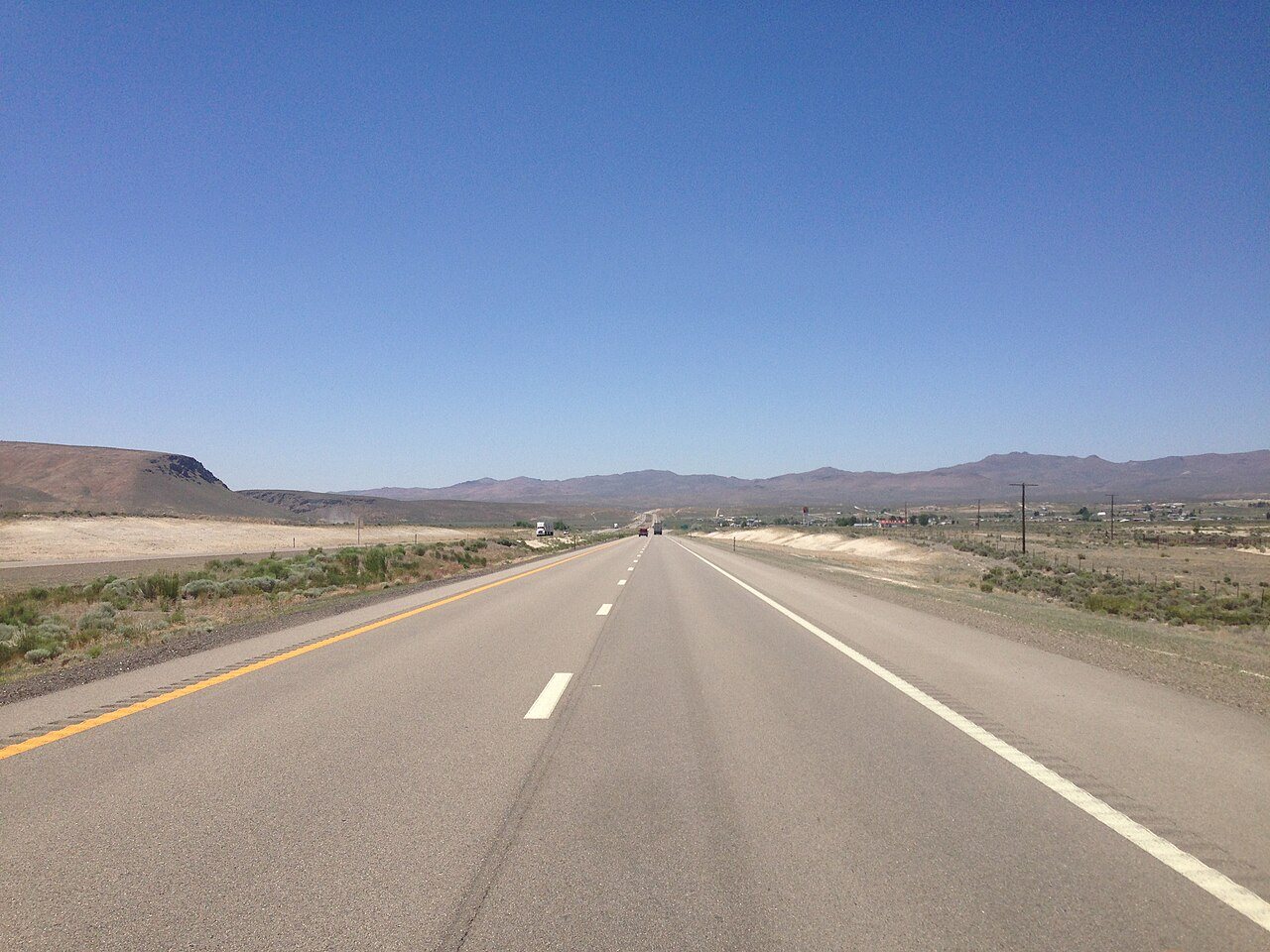
2014-06-11 12 50 57 View west along Interstate 80 from around milepost 315 near, 2014
Ryndon’s story
Ryndon in pictures
The archive holds 6 old photos and papers going back to 2014 and 2 maps from 1962 on.
Explore the history →Each edition grades its towns against each other only.
A town in Nevada.
Only one of the 43 Nevada towns we compare has a lower January low than Ryndon. Ryndon’s density of trails is 4.3 miles per square mile, above both Nevada’s towns (2.0) and U.S. towns (0.4). We don’t grade Ryndon yet; the figures below are still real.
The archive holds 6 old photos and papers going back to 2014 and 2 maps from 1962 on.
Explore the history →Who provides power, water and the rest in Ryndon, and how to reach them.
EPA SDWIS (Oct 9, 2026) · HIFLD + EIA-861 2025 · Census 2020 ZCTAs · NCES 2024–25 · registration: vote.gov, updated Nov 18, 2024.
Ordered by what stands out in Ryndon.
FEMA puts 80% of Ryndon’s expected hazard losses down to wildfires, and 10% to inland flooding. Expected storm and flood damage is higher than in 99% of U.S. communities.
FEMA National Risk Index · OpenFEMA
NOAA U.S. Climate Normals, 1991–2020
Trails & parks © OpenStreetMap contributors · Conserved land: USGS PAD-US
1 within 15 miles of the center of Ryndon
Unincorporated community in Nevada, US
Ryndon is an unincorporated community in central Elko County, Nevada, United States. It is part of the Elko micropolitan area.
From Wikipedia, licensed CC BY-SA 4.0 · facts via Wikidata (CC0)
Short answers, built from the data on this page.
We don’t grade Ryndon yet; the figures below are still real. A town in Nevada.