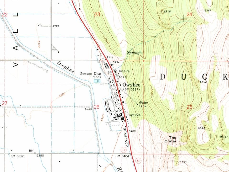
Most of Owyhee was built recently: 0.0% of its homes predate 1940 and the median home dates from 1982. Below: maps from 1939 on and the census since 1990.
The Tribes once freely occupied the land in the tri-state area of what is now Idaho, Nevada, and Oregon. This changed with the coming of migrants from the eastern United States and Europe, especially after the mid-19th century. Land and resources were wrested away from the Shoshone and Paiute. The tribes made treaties with the United States, of which some were ratified by the Senate and others not. The chiefs signed all the treaties in good faith and for the survival of their peoples.
Descendants of the Western Shoshone and the Northern Paiute occupy the Duck Valley Indian Reservation of Idaho and Nevada. Various bands of the two closely related tribes have jointly used the area for seasonal hunting and gathering from time immemorial.
Founding dates: Wikidata, Wikipedia, the U.S. post office records of Blevins & Helbock (CC0) and the Census. Homes by year built: Census ACS 2020–24. National Register of Historic Places: National Park Service (list of May 22, 2026). Old photos, postcards and papers: Wikimedia Commons, the Library of Congress and other public archives, credited on each item’s page. Maps: U.S. Geological Survey historical topographic maps (via Esri) and Sanborn fire-insurance maps (Library of Congress). History text and census tables: Wikipedia (CC BY-SA 4.0). Places that used to be: USGS Geographic Names Information System (2021). How TownRatings grades history →
From Wikimedia Commons (18), Wikipedia, U.S. Geological Survey historical maps, U.S. Census counts (via Wikipedia), the US Post Offices dataset (Blevins & Helbock) and the USGS Geographic Names Information System. Archive images are copied here with their credits and licenses, shown on each photo’s page. Refreshed monthly.
 2014
 2014
 2014
 2014
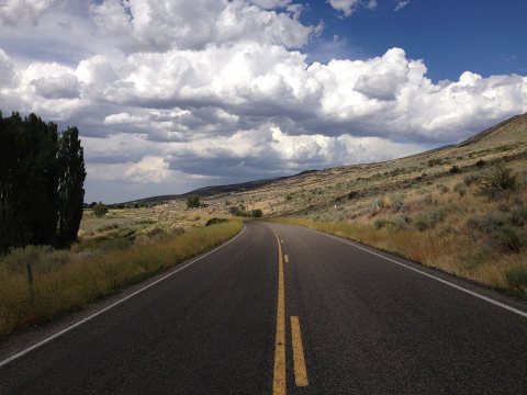 2014
 2014
 2014
 2014
 2014
 2014
 2014
 2014
 2014
 2014
 2014
 2014
 2013
 2013