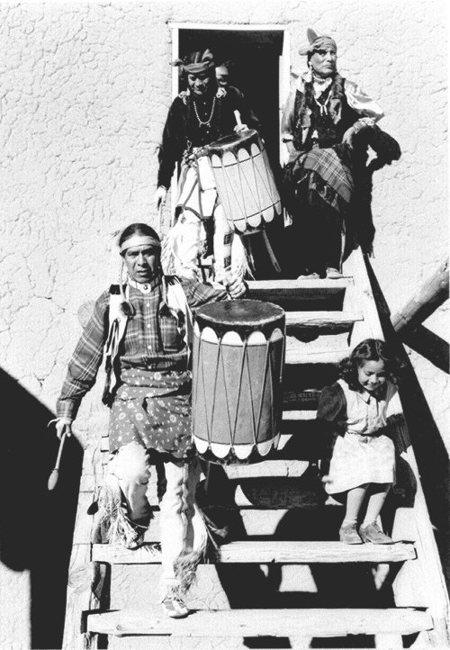
The pueblo was established around 1300 and founded by people who had migrated from the Mesa Verde complex in Southern Colorado, by way of Bandelier (elevation about 7000 feet), just south of present-day Los Alamos, New Mexico. People thrived at Bandelier due to the rainfall and the ease of constructing living structures from the surrounding soft volcanic rock. But after a prolonged drought, the people moved down into the valleys of the Rio Grande around 1300 (Pueblo IV Era). The Rio Grande and other arroyos provided the water for irrigation.
Nothing in the archives for these yearsWeddings on Main Street, storms, parades, school pictures, the old store. If it’s in your family album, it belongs here.
Founding dates: Wikidata, Wikipedia, the U.S. post office records of Blevins & Helbock (CC0) and the Census. Homes by year built: Census ACS 2020–24. National Register of Historic Places: National Park Service (list of May 22, 2026). Old photos, postcards and papers: Wikimedia Commons, the Library of Congress and other public archives, credited on each item’s page. Maps: U.S. Geological Survey historical topographic maps (via Esri) and Sanborn fire-insurance maps (Library of Congress). History text and census tables: Wikipedia (CC BY-SA 4.0). Places that used to be: USGS Geographic Names Information System (2021). How TownRatings grades history →
From Wikimedia Commons (1), the Library of Congress (5), the National Register of Historic Places (1), Wikipedia, Wikidata and Wikipedia for famous people and the USGS Geographic Names Information System. Archive images are copied here with their credits and licenses, shown on each photo’s page. Refreshed monthly.


 1900
 1905
 1905
 1905
 1905