
Daughter of Spanish-American farmer ironing, 1940
Chamisal’s story
275 years in pictures
The archive holds 6 old photos and papers going back to 1940.
- 1751Chamisal is founded
Each edition grades its towns against each other only.

Chamisal’s typical journey to work is 42 minutes, above both New Mexico’s towns (23 minutes) and U.S. towns (25 minutes). Only one of the 74 New Mexico towns we compare has a lower peak summer temperature than Chamisal. Chamisal has fewer than 1,000 residents, too few for fair grades; the figures below are still real.
Where Chamisal beats most towns.
The archive holds 6 old photos and papers going back to 1940.
Chamisal is unincorporated, so Taos County and regional agencies provide most services.
EPA SDWIS (Oct 9, 2026) · HIFLD + EIA-861 2025 · Census 2020 ZCTAs · NCES 2024–25 · registration: vote.gov, updated Aug 27, 2026.
Ordered by what stands out in Chamisal.
59% of Chamisal’s expected losses from natural hazards come from avalanches, followed by inland flooding at 29%. Expected storm and flood damage is higher than in 96% of U.S. communities.
FEMA National Risk Index · OpenFEMA
The top destinations are Taos (15%), Albuquerque (14%) and Santa Fe (12%). Chamisal: 20% of residents live below the poverty line. Half of commuters travel less than 37 miles.
Census LEHD 2023 · ACS
NOAA U.S. Climate Normals, 1991–2020
Among adults in Chamisal, 18% report frequent physical distress. Only 3 of the 74 New Mexico towns we compare have a higher share of adults who have high blood pressure than Chamisal. Against the New Mexico average, Chamisal comes out ahead on 5 CDC measures out of 32, and behind on 8. In Chamisal, 11% of adults binge drink, and 30% say their health is fair or poor.
| Chamisal | New Mexico towns | U.S. towns | |
|---|---|---|---|
| Diabetes (CDC PLACES) | 20% | 14% | 12% |
| Binge drink (CDC PLACES) | 11% | 13% | 16% |
| Fair or poor health (CDC PLACES) | 30% | 26% | 19% |
| No health insurance, 18–64 (CDC PLACES) | 19% | 16% | 8.1% |
| What stands out | Chamisal | NM |
|---|---|---|
| Fewer binge drinkers | 11% | 13.7% |
| Fewer adults with depression | 19.1% | 23.2% |
| More adults with diabetes | 19.7% | 13.2% |
CDC PLACES 2025 · modeled estimates for adults · CMS · HRSA
Museums, parks, gardens and other places to visit around Chamisal. Close and well known come first.
 32 mi MountainWheeler Peak
 33 mi National MonumentBandelier National Monument248K visitors a year
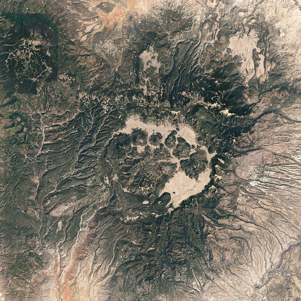 40 mi National PreserveValles Caldera National Preserve85K visitors a year
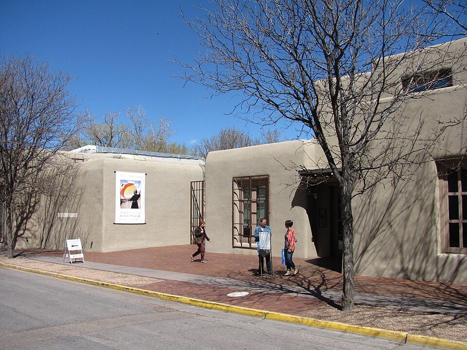 35 mi MuseumGeorgia O'Keeffe Museum
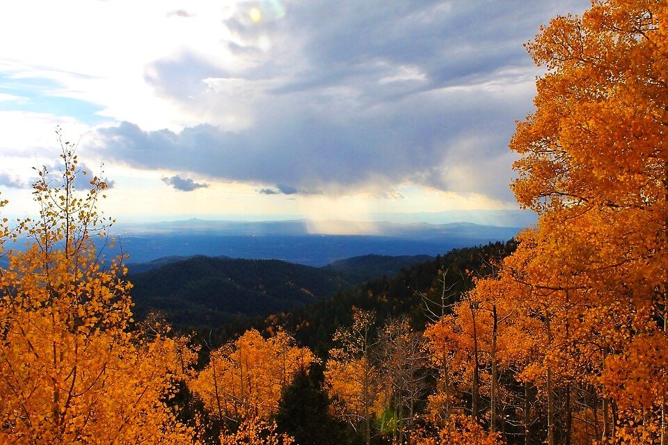 26 mi Ski areaSki Santa Fe, Santa Fe, Q3855588 runs · 1,753 ft vertical
 30 mi National forestCarson National Forest
Wheeler Peak: Davishan99, CC BY-SA 3.0 · Bandelier National Monument: Andrew Dunn (talk · contribs), CC BY-SA 2.0 · Valles Caldera National Preserve: Jesse Allen and Robert Simmon, Public domain · Georgia O'Keeffe Museum: John Phelan, CC BY 3.0 · Ski Santa Fe, Santa Fe, Q38555: Ybratcher, CC BY-SA 4.0 · Carson National Forest: David Herrera from Albuquerque, NM, Bernalillo, CC BY 2.0
1 within 15 miles of the center of Chamisal
About 2 of every 100 Chamisal residents are enrolled in college, against 6 across New Mexico.
In a town this size, neighbors are the best guide. Ask them anything.
Census-designated place in Taos County, New Mexico, United States
Chamisal is a census-designated place (CDP) in Taos County, New Mexico. It is located along the scenic High Road to Taos. As of the 2020 census, Chamisal had a population of 255. Chamisal was founded by settlers on the Las Trampas Land Grant which dates back to 1751.
From Wikipedia, licensed CC BY-SA 4.0 · facts via Wikidata (CC0)
Short answers, built from the data on this page.
Chamisal has fewer than 1,000 residents, too few for fair grades; the figures below are still real.


