142 years in pictures
Census counts: 757 in 1890, 1,010 in 2020. The archive holds 18 old photos and papers going back to 2010 and 7 maps from 1888 on.
1 place on the National Register of Historic Places.
- 1884West Cape May is settled

Each edition grades its towns against each other only.

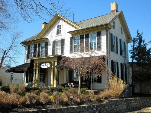
West Cape May’s average trip to work is 15 minutes, where New Jersey’s towns sit at 30 minutes and U.S. towns at 25 minutes. Among 469 New Jersey towns, just one has a higher January low than West Cape May. Whilldin-Miller House is on the National Register of Historic Places. West Cape May has fewer than 1,000 residents, too few for fair grades; the figures below are still real.
Where West Cape May beats most towns.
Coastal flooding makes up 22% of the storm damage FEMA expects here.
FEMA National Risk Index · OpenFEMA · OpenStreetMap
Census counts: 757 in 1890, 1,010 in 2020. The archive holds 18 old photos and papers going back to 2010 and 7 maps from 1888 on.
1 place on the National Register of Historic Places.
Museums, parks, gardens and other places to visit around West Cape May. Close and well known come first.
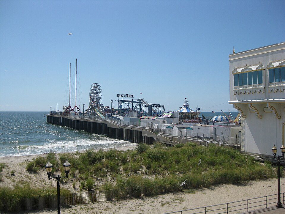
8 mi Theme parkMorey's Piers
39 mi Stadium & arenaBoardwalk Hall
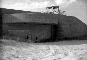
35 mi LandmarkLucy the Elephant
40 mi Theme parkSteel Pier
14 mi LandmarkFort Miles8 mi Theme parkHunt's PierMorey's Piers: Smallbones, CC0 · Boardwalk Hall: Jack Boucher, Public domain · Lucy the Elephant: User:dtcdthingy 3:30 pm 30th July 2004 (Minolta Dimage X20), Public domain · Steel Pier: Make Lemons, CC BY-SA 2.0 · Fort Miles: Unknown, Public domain
Who provides power, water and the rest in West Cape May, and how to reach them.
EPA SDWIS (Oct 9, 2026) · HIFLD + EIA-861 2025 · Census 2020 ZCTAs · NCES 2024–25 · registration: vote.gov, updated Nov 18, 2024.
Ordered by what stands out in West Cape May.
The public schools here belong to the West Cape May School District. Its one school is below. 76 students attend the town’s public school.
| School | Level | Students | Letter |
|---|---|---|---|
| West Cape May Elementary SchoolLargest public elementary schoolGrades PK–6 | Grades PK–6 | 76 | A− |
NCES · EDFacts
| Biggest places to walk | Trails | Acres |
|---|---|---|
| 1. South Cape May Meadows | — | 17 |
| 2. Higbee Beach Wildlife Management Area | — | 2 |
Trails & parks © OpenStreetMap contributors · Conserved land: USGS PAD-US
Federal disaster aid has reached households in West Cape May after 6 declared disasters, most recently in 2016. Expected damage from storms and floods is higher here than in nearly three quarters of U.S. communities. The town has had 93 paid flood insurance claims since 1979. 45% of the town’s expected losses from natural hazards come from inland flooding, followed by coastal flooding at 22%.
FEMA disaster declarations and aid · FEMA flood insurance claims · FEMA National Risk Index · OpenFEMA
July afternoons reach 85°, January nights drop to 28° and about 15 inches of snow falls in a winter.
NOAA U.S. Climate Normals, 1991–2020
The median commute is under 7 miles. Employers in West Cape May added 136 jobs between 2013 and 2023, to 325. Just 5% of the town’s working residents have a job in town. The top destinations are Lower Township (21%), Cape May (21%) and Middle Township (11%).
| West Cape May | New Jersey towns | U.S. towns | |
|---|---|---|---|
| Median household income | $91,000 | $113,000 | $80,000 |
| Below the poverty line | 5.4% | 6.1% | 9.6% |
| Working residents who work in town | 4.6% | 6.3% | 8% |
Census LEHD 2023 · ACS
Among adults in West Cape May, 29% sleep under 7 hours. Of 32 CDC measures, West Cape May beats the New Jersey average on 18 and trails it on 5.
| West Cape May | New Jersey towns | U.S. towns | |
|---|---|---|---|
| Feel lonely (CDC PLACES) | 25% | 32% | 33% |
| Sleep under 7 hours (CDC PLACES) | 29% | 36% | 36% |
| Frequent mental distress (CDC PLACES) | 12% | 15% | 17% |
| Yearly checkup (CDC PLACES) | 84% | 78% | 79% |
| What stands out | West Cape May | NJ |
|---|---|---|
| Fewer adults facing food insecurity | 6.2% | 14.3% |
| Fewer adults facing housing insecurity | 5.6% | 12.3% |
| More adults who have had cancer | 13.2% | 7.5% |
CDC PLACES 2025 · modeled estimates for adults · CMS · HRSA
The median rent for West Cape May comes to $1,232 a month. 85% of households live in a home they own in the town. Homes in West Cape May sold for 93.6% of their list price on average.
| West Cape May | New Jersey towns | U.S. towns | |
|---|---|---|---|
| Households that own their home | 85% | 77% | 73% |
| Median rent | $1,232 a month | $1,778 a month | $1,185 a month |
Census ACS, 2020–24 · Zillow Home Value Index · Redfin Data Center
None within 15 miles of West Cape May; the nearest are
About 4 of every 100 West Cape May residents are enrolled in college, against 6 across New Jersey.
In a town this size, neighbors are the best guide. Ask them anything.
Borough in Cape May County, New Jersey, US
West Cape May is a Walsh Act borough in Cape May County, in the U.S. state of New Jersey. The borough, and all of Cape May County, is part of the South Jersey region of the state and of the Ocean City metropolitan statistical area, which is part of the Philadelphia metropolitan area. As of the 2020 United States census, the borough's population was 1,010, a decrease of 14 (−1.4%) from the 2010 census count of 1,024, which in turn had reflected a decline of 71 (−6.5%) from the 1,095 counted at the 2000 census. West Cape May was incorporated as a borough by an act of the New Jersey Legislature on April 17, 1884, from portions of Lower Township, based on the results of a referendum held two da…
From Wikipedia, licensed CC BY-SA 4.0 · facts via Wikidata (CC0)
Short answers, built from the data on this page.
West Cape May has fewer than 1,000 residents, too few for fair grades; the figures below are still real.