
Crescent Area Historic District
Many listed buildings are private homes. Please enjoy them from the street.
About the district
Crescent Area Historic District, at Roughly bounded by Park, Prospect, and Carnegie Aves., 7th and Richmond Sts., was added to the National Register of Historic Places on Dec 12, 1980. It was among the first 3 of Plainfield’s 19 listings. The Register lists it for its architecture, at the national level. The district takes in 111 historic buildings. The listing covers 47 acres. Four more Register listings are within a quarter mile.
What it isHistoric district in Plainfield, New Jersey. From Wikidata (CC0). Read about it on Wikipedia ↗
Make it a walk: 5 landmarks in about 15 minutes
Roughly bounded by Park, Prospect, and Carnegie Aves., 7th and Richmond Sts., Plainfield · about 0.5 miles on foot, as the crow flies


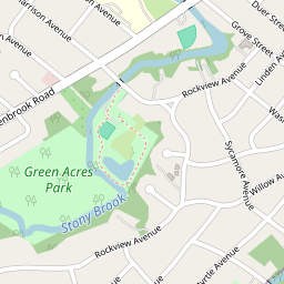

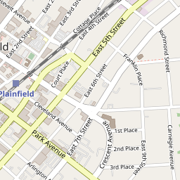
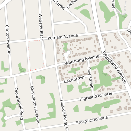
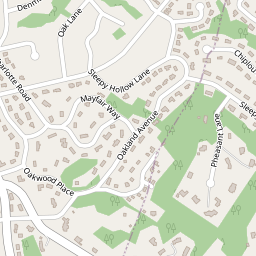
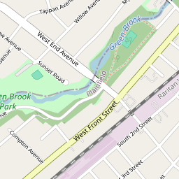


- 1Crescent Area Historic DistrictStart here
- 2
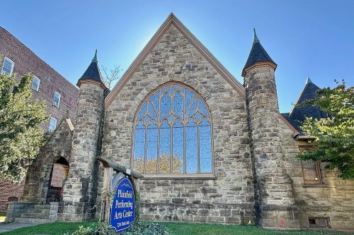 All Souls ChurchBuilt 1892 · 0.2 mi on
- 3
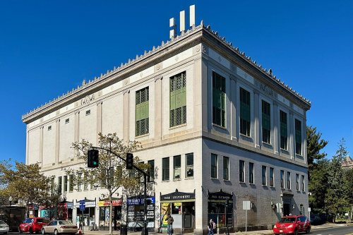 Plainfield Masonic TempleBuilt 1929 · 0.1 mi on
- 4
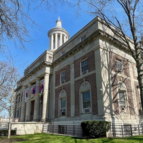 Plainfield Civic DistrictDistrict · 0.2 mi on
- 5
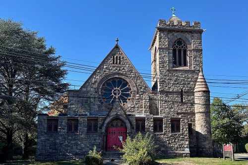 Grace Episcopal ChurchBuilt 1892 · next door
8 more Register listings within half a mile
★ National Historic Landmark · D district · B building · S site. Each opens its own page.
Memories of Crescent Area Historic District
The record says what it is. Neighbors know what it means.
Your answer becomes a post in Town Square.
Questions about Crescent Area Historic District
Is Crescent Area Historic District on the National Register of Historic Places?
Yes. It was added on Dec 12, 1980 (Register number 80002523).
Is Crescent Area Historic District a National Historic Landmark?
No. It is on the National Register; New Jersey has 54 National Historic Landmarks. The nearest is Baltusrol Golf Club, 7 miles away.
Can you visit Crescent Area Historic District?
Our record doesn’t say whether it is open to visitors. Many listed buildings are private, so it may only be seen from the street.
Sources: National Park Service, National Register of Historic Places (05/22/2026) · Wikidata. Map tiles © OpenStreetMap contributors.