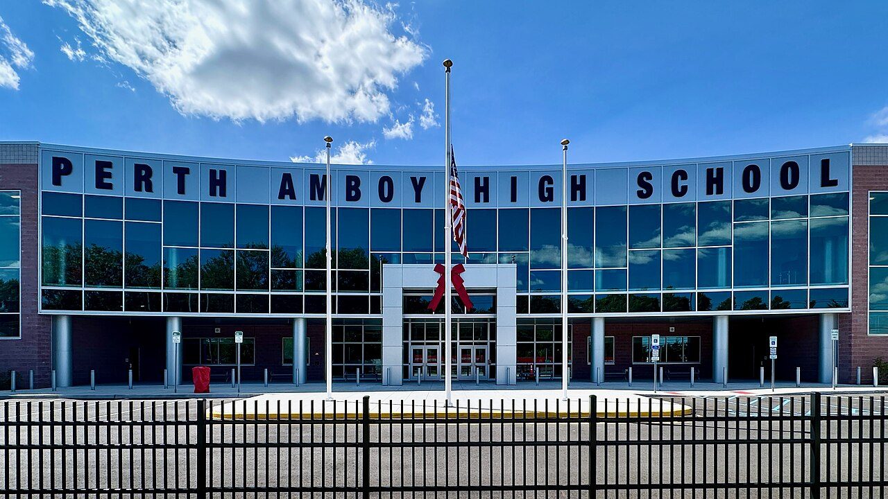
Perth Amboy High School
931 Convery Blvd, Perth Amboy, NJ 08861 · (732) 376-6030 · Part of Perth Amboy City School District
Perth Amboy’s School Grade C− better than 15% of New Jersey school districts
What stands out about Perth Amboy High School
- Its own letter, C: better results than 30% of New Jersey’s public schools
- Math proficiency 17 pts below the state
- Enrollment up 8.7% since 2020–21
On the path
Where Perth Amboy kids come from and go next. The whole path →
Test scores
2020–21Its own letter, C, places these results among New Jersey’s 2,144 public schools with results. Source: EDFacts via Urban Institute Education Data Portal (SY2020-21).
Location
Directions ↗
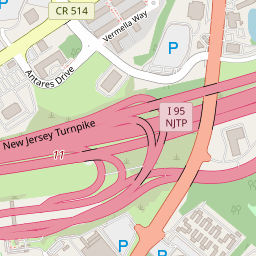


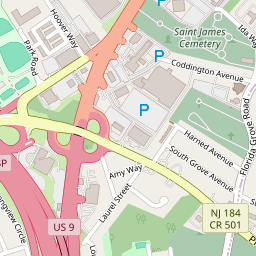


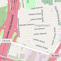


931 Convery Blvd, Perth Amboy
Students
Up 8.7% since 2020–21.
As reported to NCES, share of students with a reported race or ethnicity.
Parents talk
Questions and answers about Perth Amboy High School from Perth Amboy families.
Other schools in Perth Amboy City School District
School facts: U.S. Department of Education (NCES), 2024–2025 school year. Test scores: EDFacts via Urban Institute Education Data Portal (SY2020-21). A school’s letter is our own summary of its reading and math results against New Jersey’s other public schools; Perth Amboy’s School Grade is built from its districts’ results. Map: © OpenStreetMap contributors.