On its age, its old homes and the National Register, Freehold is more historic than 85% of U.S. towns, #86 of 468 in New Jersey. All 2 inputs are above most U.S. towns; its share of homes from before 1940 ranks highest and its National Register listings lowest.
A
HistoryA character grade: shown, never part of Freehold’s overall grade.
New Jersey towns list more on the Register than most of the country (a typical New Jersey town has 3.7 per 10,000 residents, the U.S. 2.4), so Freehold’s 4.0 sits near the middle of its state (52% of New Jersey towns have fewer) while its 5 historic buildings outnumber those of 70% of U.S. towns.
How sure. Graded on two of the three inputs, so a change in either one moves the letter more than it would with three. The pre-1940 share is a Census survey estimate (±4.5 points).
Founding year: our sources. Homes: Census ACS 2020–24. National Register: National Park Service, May 2026 list; each listing counted once (boundary changes and added documentation belong to their listing), and a historic district counts its contributing buildings. How TownRatings grades history →
What stands out about Freehold’s past
Read from the archive, the National Register and the record. The page puts what stands out first.
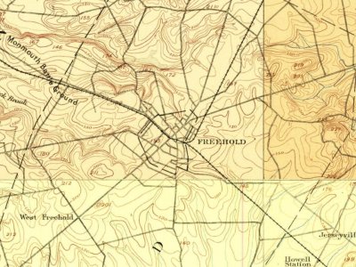
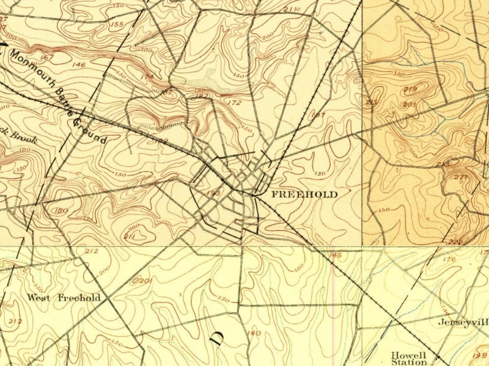
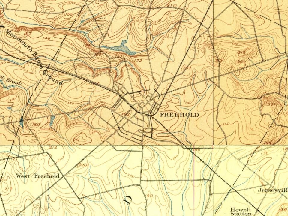
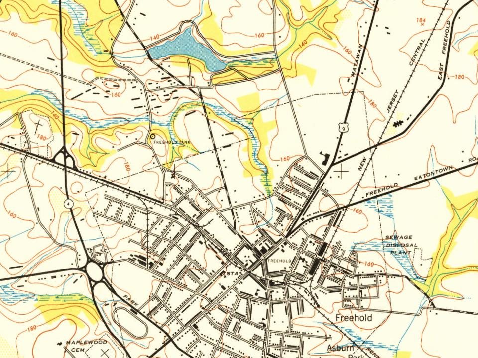
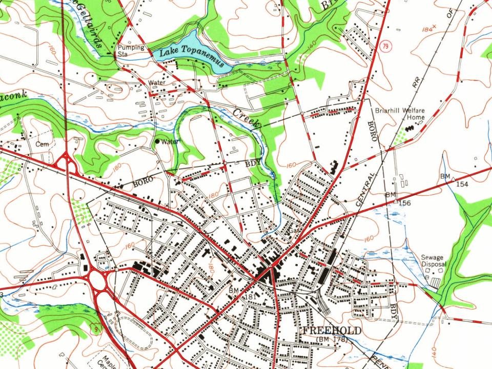
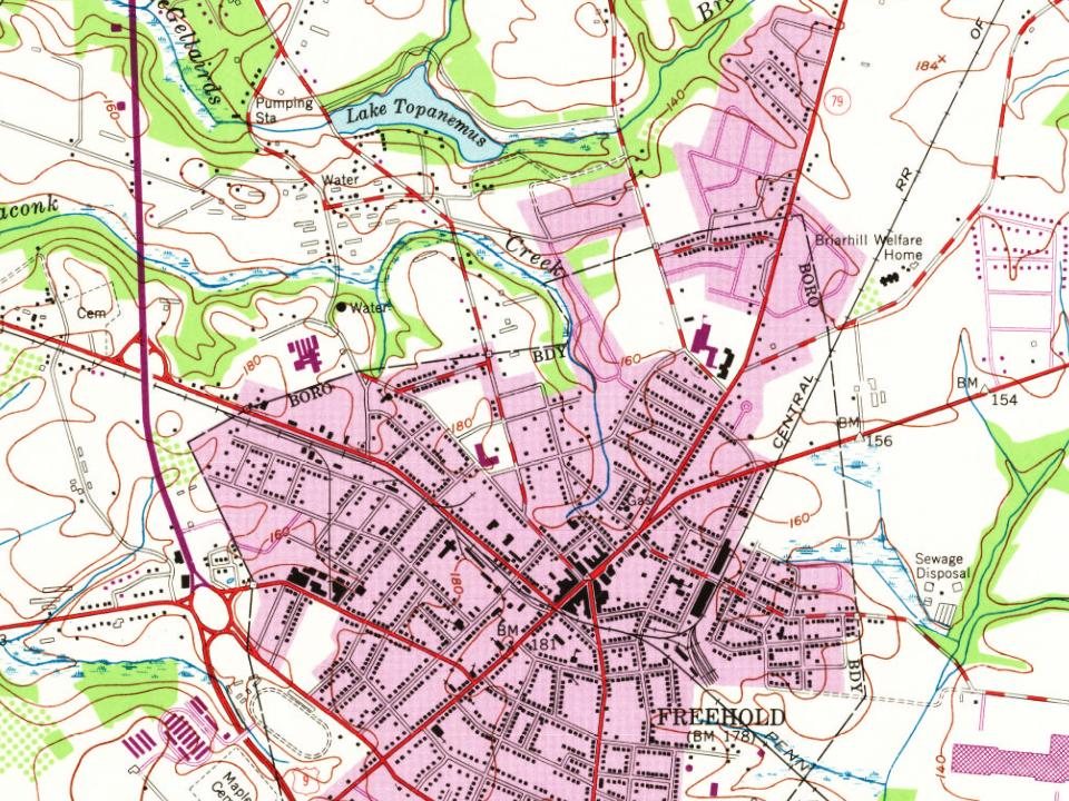
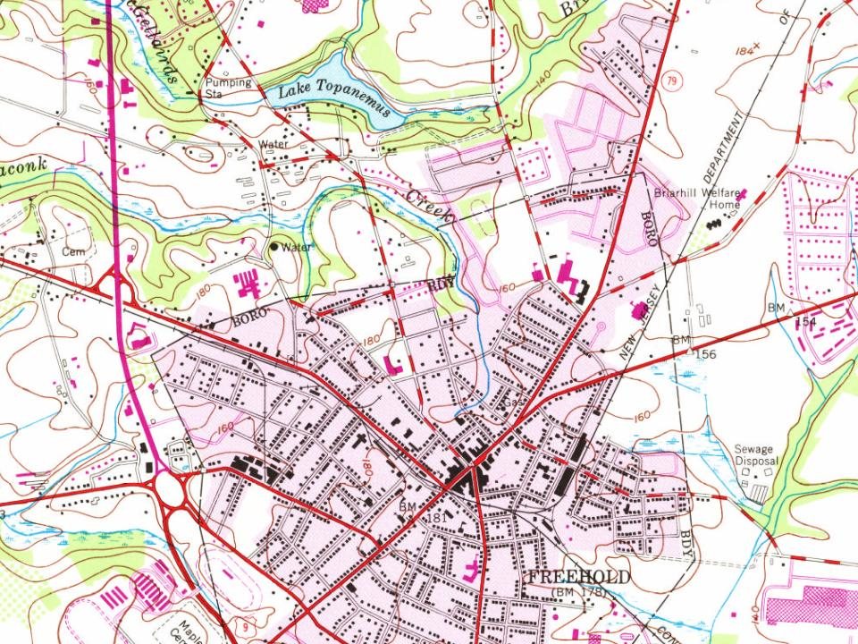
Every edition of the U.S. Geological Survey’s map of Freehold. Tap a year, or press play to watch the town change.
1888New Brunswick sheet · 1:62,500
U.S. Geological Survey historical topographic maps (public domain), via Esri’s collection of the scans. The red ring marks the center of Freehold.
Every building
Freehold, building by building, 1885–1916
Fire insurance maps drew every building, what it was made of and what it was used for, so insurers could price the risk of fire. Pick a year, then a sheet.
Nothing in the archives for these yearsWeddings on Main Street, storms, parades, school pictures, the old store. If it’s in your family album, it belongs here.
The Lenni Lenape Native Americans were the earliest known people to live in the area that became Freehold. The Lenape were a hunter-gatherer society. They were largely sedentary, changing campsites seasonally. They were prolific hunters of small game and birds. They were also skilled fisherman, and were known to harvest vast amounts of clams from the bays and inlets on the Jersey Shore. They also practiced some agriculture to augment their food supply. During this time, an important crossroad of two major Lenape trails was located in the area of Freehold.
Passages that mention Freehold, cut from the printed page as they were published.
History of Monmouth county, New Jersey ..1885 · page 77Read the page →
Read the text
1859, 314 established 1847, 439 enrollment of, 1849, 440 Freehold and Jamesburg Railroad, history of, 378 Freehold and Jamesburg Agncultural Railroad Company, incorporated 1851, 379 merger of, 1874, 1878, 382 Freehold and Keyport Plank-Road Company, 676
Text read by machine from the scan; it may contain errors.
History of Monmouth county, New Jersey ..1885 · page 162Read the page →
Read the text
part played by, in Civil War, 290, 291 legal preceptor of Acton C. Hartshorne, 1866, 31 1 admitted to the bar, attorney 1842, counselor 1849, 316, 317 lawyer. Freehold, 1884, 318 Agricultural Society suggested by, 1853, 365 life member, Monmouth County Agricultural Society, 1853, 366 corporator, Squankum Railroad and Marl Com-
Text read by machine from the scan; it may contain errors.
Scans and text from the Internet Archive. Books published in 1930 or earlier, which are in the public domain.
Timeline
Freehold, 1702 to 1987
Woven from the archive, old maps, post office records, the National Register and the people born here.
Freehold is more historic than 85% of U.S. towns, #86 of 468 in New Jersey. The History grade combines the town’s founding era, the share of homes built before 1940 and its National Register listings. It’s a character grade, so it isn’t part of the overall grade. How it works.
What is on the National Register in Freehold?
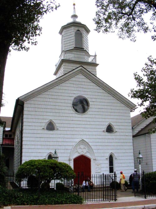
4 listings: 4 buildings, among them the George Taylor House (listed 1994, the first). 5 historic buildings in all.
How old are the homes in Freehold?
30% of Freehold’s homes were built before 1940 (Census estimate, ±4.5 points), against a typical 15% for a New Jersey town; the median home was built in 1960.
Founding dates: Wikidata, Wikipedia, the U.S. post office records of Blevins & Helbock (CC0) and the Census. Homes by year built: Census ACS 2020–24. National Register of Historic Places: National Park Service (list of May 22, 2026). Old photos, postcards and papers: Wikimedia Commons, the Library of Congress and other public archives, credited on each item’s page. Maps: U.S. Geological Survey historical topographic maps (via Esri) and Sanborn fire-insurance maps (Library of Congress). History text and census tables: Wikipedia (CC BY-SA 4.0). Places that used to be: USGS Geographic Names Information System (2021).
From Wikimedia Commons (13), the Library of Congress (4), Wikidata (1), the National Register of Historic Places (4), Wikipedia, Wikidata and Wikipedia for famous people, U.S. Geological Survey historical maps, U.S. Census counts (via Wikipedia), the US Post Offices dataset (Blevins & Helbock), the USGS Geographic Names Information System, Sanborn fire insurance maps (Library of Congress) and old county and town histories (Internet Archive). Archive images are copied here with their credits and licenses, shown on each photo’s page. Refreshed monthly.




 1856
 1858
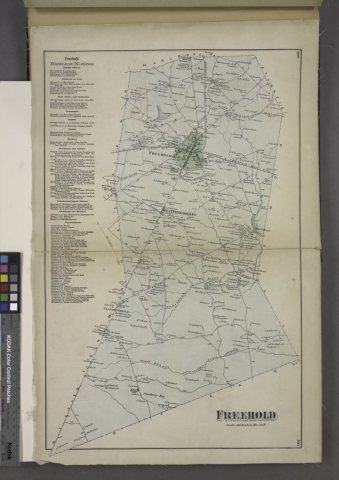 1873
 1873
 1876
 1882
 1896
 1896
 1896
 1896
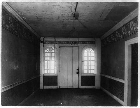 1896
 1896
 1896
 1896
 1900
 1902
 1906