Dennisville was founded in 1726 by Anthony Ludlam. The first post office in the area was Dennis Creek, established September 7, 1802, with Jeremiah Johnson as first postmaster. The name was changed to Dennisville in 1854.
In the 1880s, a local industry sprung up—described by The New York Times as "the like of which does not exist anywhere else in the world"—in which cedar trees that had fallen as much as decades earlier were recovered from under the surface of local swamps. The trees, ranging in size from 4 to 6 feet (1.2 to 1.8 m) in diameter, were first discovered in 1812 and became the foundation of a thriving economic boom in the area for shingles and staves.
Passages that mention Dennisville, cut from the printed page as they were published.
The history of Cape May County, New Jersey1897 · page 54Read the page →
Read the text
"Dennisville was settled upon the south side of the creek, in or about 1726, by Anthony Ludlam, and some few years afterwards the north side by his brother, Joseph, both being sons of Joseph Ludlam, of Ludlam's Run, seaside. David Johnson was here in 1765, and owned at the time of his death, in 1805, a large scope of land on the north side of Dennis Creek. James Stephenson purchased of Jacob Spi-
Text read by machine from the scan; it may contain errors.
Scans and text from the Internet Archive. Books published in 1930 or earlier, which are in the public domain.
By decade
Dennisville, decade by decade
One decade in the archive so far: the 1930s. Scroll each row; tap a photo for its story.
Nothing in the archives for these yearsWeddings on Main Street, storms, parades, school pictures, the old store. If it’s in your family album, it belongs here.
Founding dates: Wikidata, Wikipedia, the U.S. post office records of Blevins & Helbock (CC0) and the Census. Homes by year built: Census ACS 2020–24. National Register of Historic Places: National Park Service (list of May 22, 2026). Old photos, postcards and papers: Wikimedia Commons, the Library of Congress and other public archives, credited on each item’s page. Maps: U.S. Geological Survey historical topographic maps (via Esri) and Sanborn fire-insurance maps (Library of Congress). History text and census tables: Wikipedia (CC BY-SA 4.0). Places that used to be: USGS Geographic Names Information System (2021). How TownRatings grades history →
From Wikimedia Commons (10), the Library of Congress (2), Wikipedia, U.S. Geological Survey historical maps and old county and town histories (Internet Archive). Archive images are copied here with their credits and licenses, shown on each photo’s page. Refreshed monthly.
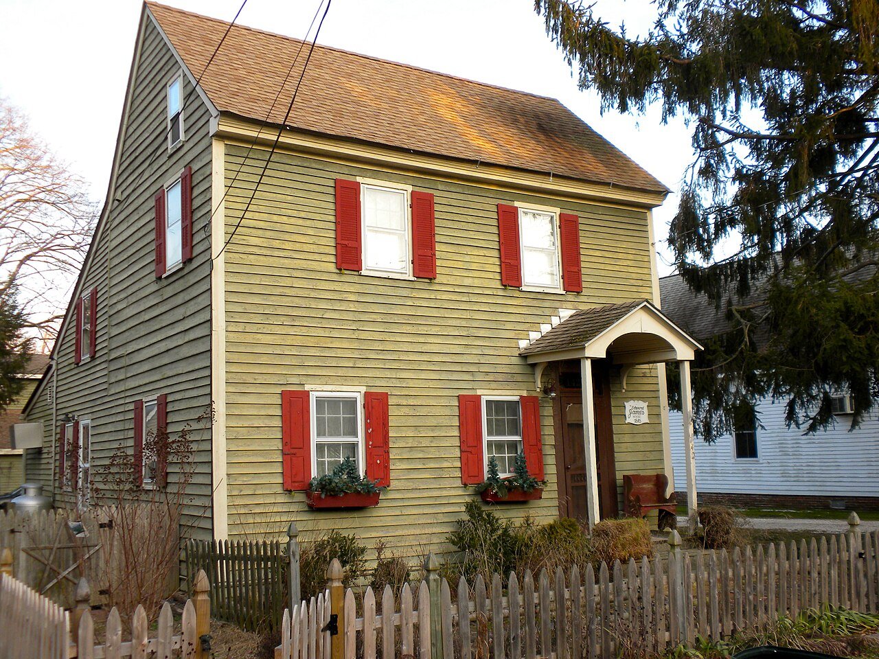


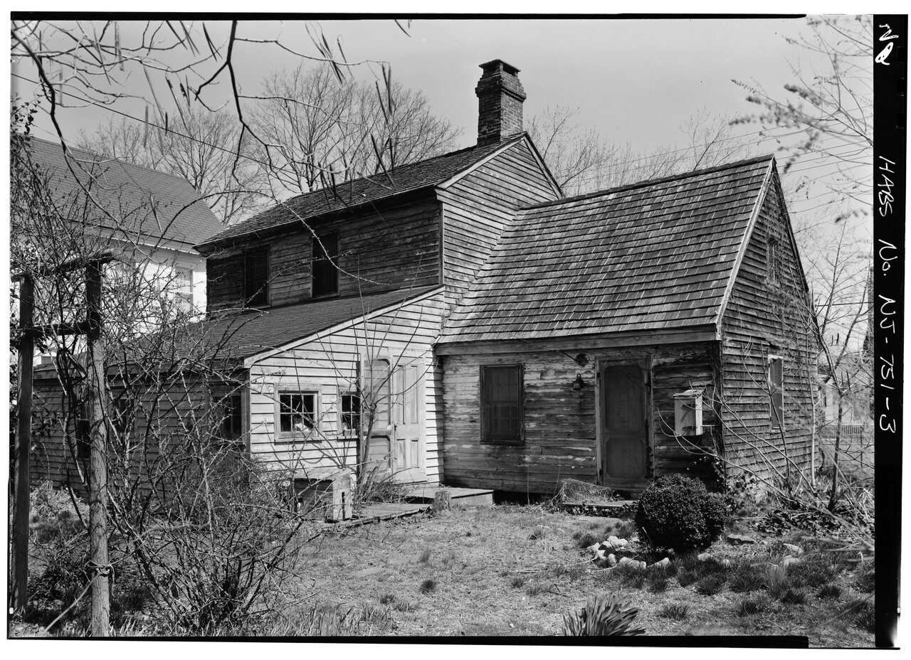


 1933
 Date?
 Date?
 Date?
 Date?
 Date?
 2025
 2025
 2012
 2010
 2005


