
Maple Street, 1906
Woodsville’s story
173 years in pictures
Census counts: 1,542 in 1950, 1,431 in 2020. The archive holds 6 old photos and papers going back to 1906 and 2 maps from 1935 on.
- 1853Woodsville is settled
Each edition grades its towns against each other only.

Woodsville’s typical journey to work is 40 minutes, where New Hampshire’s towns sit at 28 minutes and U.S. towns at 25 minutes. No town among the 127 in New Hampshire we compare has a lower share of households owning their home than Woodsville. The biggest park or preserve is Jean Chamberlin South Conservation Area, at 26 acres. We don’t grade Woodsville yet; the figures below are still real.
Where Woodsville beats most towns.
Census counts: 1,542 in 1950, 1,431 in 2020. The archive holds 6 old photos and papers going back to 1906 and 2 maps from 1935 on.
1,126 counted in 2010 and 1,431 in 2020.
U.S. Census 2010 & 2020 counts
Ordered by what stands out in Woodsville.
The peak summer temperature in Woodsville is 81°F.
NOAA U.S. Climate Normals, 1991–2020
The FEMA risk score for Woodsville comes to 65 of 100. 81% of the town’s expected losses from natural hazards come from inland flooding.
FEMA National Risk Index · OpenFEMA
Between 2013 and 2023, jobs in Woodsville dropped by 145, to 679. Only 10% of working residents stay in Woodsville for work; the rest commute out. The top destinations are Haverhill (28%), Lebanon (9%) and Hanover (5%). Half of commuters travel less than 21 miles.
| Woodsville | New Hampshire towns | U.S. towns | |
|---|---|---|---|
| Median household income | $58,000 | $103,000 | $80,000 |
| Below the poverty line | 10% | 6.8% | 9.6% |
Census LEHD 2023 · ACS
The share of adults in Woodsville who say their health is fair or poor: 16%. Among 127 New Hampshire towns, just 7 have a lower share of adults who had a checkup this year than Woodsville. In Woodsville, 28% of adults have obesity, and 26% have been diagnosed with depression.
| Woodsville | New Hampshire towns | U.S. towns | |
|---|---|---|---|
| Yearly checkup (CDC PLACES) | 74% | 78% | 79% |
| Obesity (CDC PLACES) | 28% | 32% | 35% |
| Depression (CDC PLACES) | 26% | 23% | 23% |
| High blood pressure (CDC PLACES) | 32% | 34% | 35% |
| What stands out | Woodsville | NH |
|---|---|---|
| More older adults who have lost all their teeth | 15.1% | 8.9% |
| Fewer adults getting a yearly checkup | 73.8% | 77.8% |
CDC PLACES 2025 · modeled estimates for adults · CMS · HRSA
Woodsville’s density of trails is 1.3 miles per square mile. In 3 parks and preserves, walkers have 2.5 miles of trail.
| Woodsville | New Hampshire towns | U.S. towns | |
|---|---|---|---|
| Miles of trail per square mile | 1.3 miles per square mile | 1.2 | 0.4 |
| Conserved land | 8.8% | 18% | 4.3% |
| Biggest places to walk | Trails | Acres |
|---|---|---|
| 1. Jean Chamberlin South Conservation Area | — | 26 |
| 2. Community Field | — | 8 |
| 3. Railroad Park | — | 6 |
Trails & parks © OpenStreetMap contributors · Conserved land: USGS PAD-US
For Woodsville, the typical rent is $1,119 a month.
Census ACS, 2020–24 · Zillow Home Value Index · Redfin Data Center
Museums, parks, gardens and other places to visit around Woodsville. Close and well known come first.
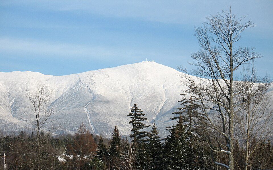 Big draw37 mi MountainMount Washington
 16 mi Ski areaCannon Mountain104 runs · 2,201 ft vertical
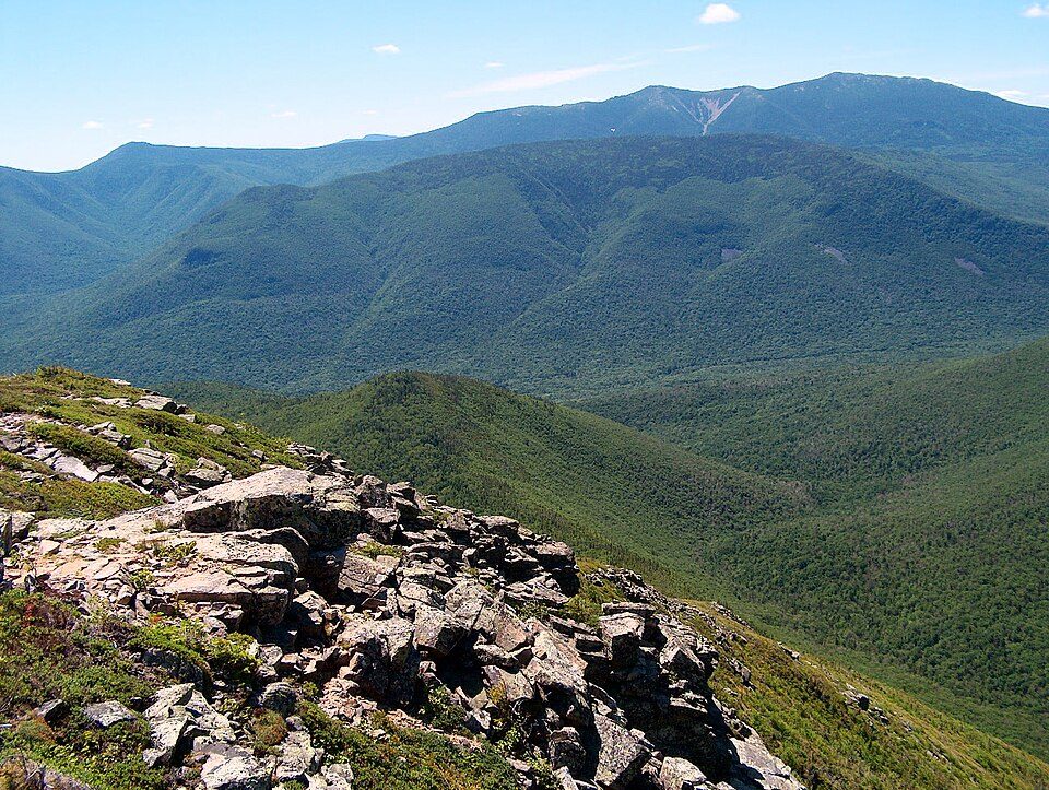 31 mi National forestWhite Mountain National Forest
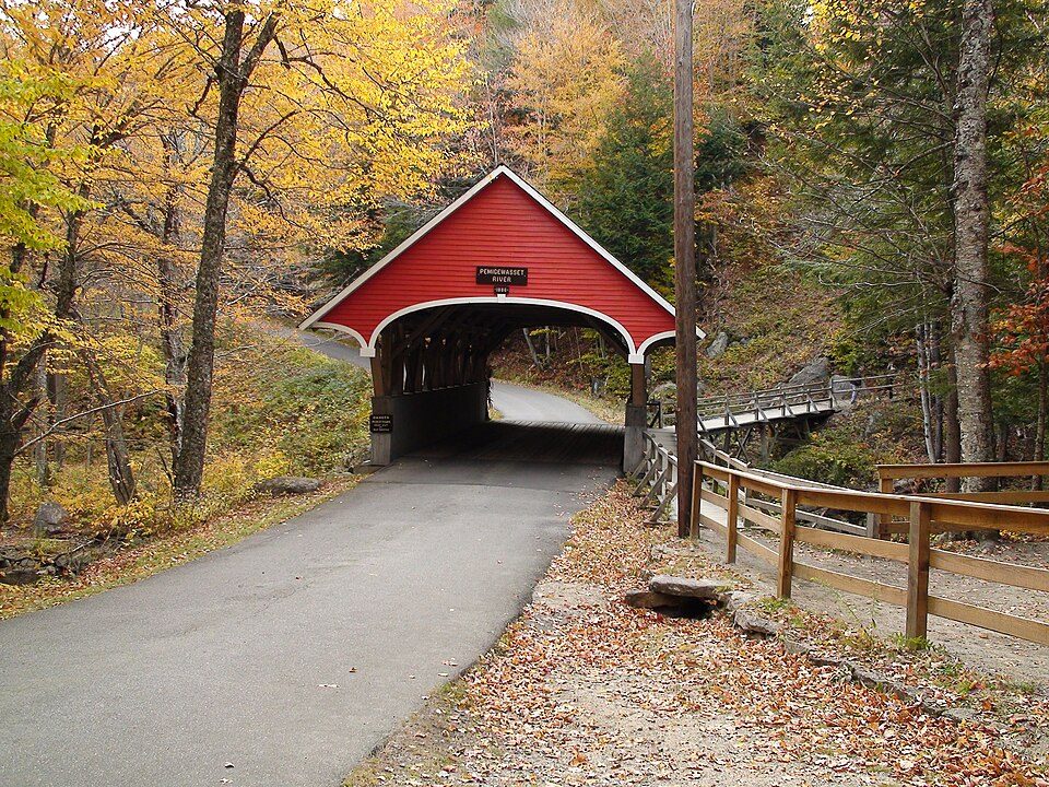 17 mi State parkFranconia Notch State Park
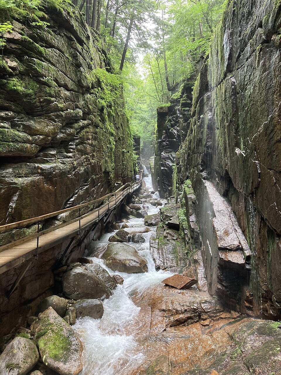 18 mi WaterfallFlume Gorge
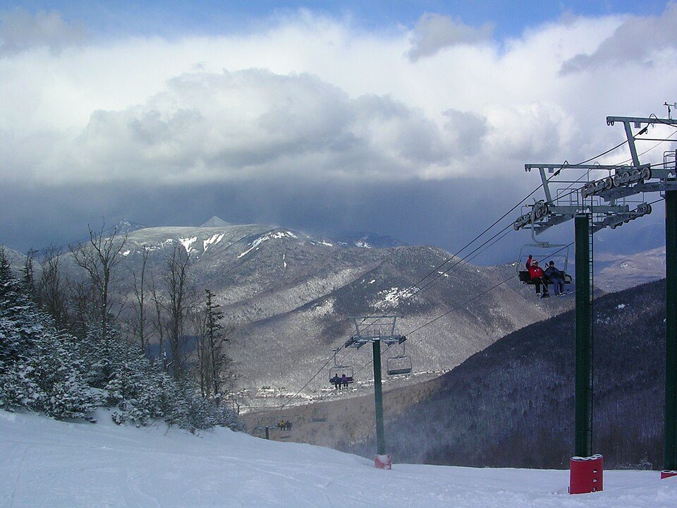 20 mi Ski areaLoon Mountain Resort80 runs · 2,189 ft vertical
Mount Washington: wwoods, CC BY-SA 3.0 · Cannon Mountain: Mikespenard at English Wikipedia, CC BY-SA 3.0 · White Mountain National Forest: Ken Gallager at English Wikipedia, Public domain · Franconia Notch State Park: Stephen Sokolowski, CC BY-SA 3.0 · Flume Gorge: MyCatIsAChonk, CC BY-SA 4.0 · Loon Mountain Resort: Own work, Public domain
Woodsville is unincorporated, so Grafton County and regional agencies provide most services.
EPA SDWIS (Oct 9, 2026) · HIFLD + EIA-861 2025 · Census 2020 ZCTAs · NCES 2024–25 · registration: vote.gov, updated Nov 19, 2024.
In a town this size, neighbors are the best guide. Ask them anything.
None within 15 miles of Woodsville; the nearest are
About 11 of every 100 Woodsville residents are enrolled in college, against 6 across New Hampshire.
5 notable people were born in Woodsville.
Census-designated place in New Hampshire, United States
Woodsville is a census-designated place (CDP) and the largest village in the town of Haverhill, New Hampshire, United States, along the Connecticut River at the mouth of the Ammonoosuc River. The population was 1,431 at the 2020 census. Although North Haverhill is now the county seat of Grafton County, the village of Woodsville has traditionally been considered the county seat, as the county courthouse was originally located there. The county buildings are now located halfway between Woodsville and the village of North Haverhill to the south.
From Wikipedia, licensed CC BY-SA 4.0 · facts via Wikidata (CC0)
Short answers, built from the data on this page.
We don’t grade Woodsville yet; the figures below are still real.
5 notable people were born here, including William H. Rowden and Chad Paronto.
Ask a question, answer one, post a photo or an event. Free, and the parts only a neighbor would know are the parts worth reading.


