222 years in pictures
Census counts: 51 in 1810, 2,490 in 2020. The archive holds 24 old photos and papers going back to 1883 and 3 maps from 1900 on.
1 place on the National Register of Historic Places.
- 1804Whitefield is settled
Each edition grades its towns against each other only.

Whitefield's standout: it reports less crime per resident than 95% of U.S. towns. Overall it grades C−, ranked 117th of 125 in New Hampshire. Its weakest subject is cost of living: the typical home is worth about $327K, 5.7 years of the county’s $58K median household income. History is its standout character grade: an A, better than 93% of U.S. towns, with 1 place on the National Register. Only 10 of New Hampshire’s 187 towns score lower on health. Mountain View House is on the National Register of Historic Places. Only 17 of New Hampshire’s 187 towns score lower on the outdoors.
Where Whitefield beats most towns.
Mountain View HouseCensus counts: 51 in 1810, 2,490 in 2020. The archive holds 24 old photos and papers going back to 1883 and 3 maps from 1900 on.
1 place on the National Register of Historic Places.
Each subject compared with towns across the country (schools within New Hampshire), ordered by how far Whitefield is from typical.
Its grades run from A+ for safety (better than 95% of comparable towns) to D for cost of living (better than 8%), so the C− overall blends very different results.
How TownRatings grades towns →
Who provides power, water and the rest in Whitefield, and how to reach them.
EPA SDWIS (Oct 9, 2026) · HIFLD + EIA-861 2025 · Census 2020 ZCTAs · NCES 2024–25 · registration: vote.gov, updated Nov 19, 2024.
Ordered by what stands out in Whitefield.
Whitefield is healthier than towns with similar incomes, trades workers with Littleton and other neighbors and sees little violent crime.
Violent crime is rare: 1 reported in 2025, 0.4 per 1,000 residents.
Whitefield’s property crime rate is 1.2 per 1,000 residents, below both the New Hampshire town median (4.5) and the median of U.S. towns (9.9). Whitefield’s violent crime rate is 0.4 per 1,000 residents.
| Whitefield | New Hampshire towns | U.S. towns | |
|---|---|---|---|
| Property crimes per 1,000 (2025) | 1.2 per 1,000 residents | 4.5 | 9.9 |
| Violent crimes per 1,000 (2025) | 0.4 per 1,000 residents | 0.7 | 1.6 |
FBI crime data, 2025 · crimes reported to police
Its public schools are run by the White Mountains Regional School District. Its two schools are below. The largest public high school is White Mountains Regional High School, with 319 students.
| School | Level | Students | Letter |
|---|---|---|---|
| Whitefield Elementary SchoolLargest public elementary schoolGrades PK–8 | Grades PK–8 | 256 | C |
| White Mountains Regional High SchoolLargest public high schoolGrades 9–12 | Grades 9–12 | 319 | C+ |
NCES · EDFacts · graded within NH on state tests and graduation
63% of Whitefield households own their home, against 82% in New Hampshire’s towns and 73% across U.S. towns. Typical home values rose 6.2% in the year to September 2026. The median rent in Whitefield is $1,077 a month.
| Whitefield | New Hampshire towns | U.S. towns | |
|---|---|---|---|
| Households that own their home | 63% | 82% | 73% |
| Median rent | $1,077 a month | $1,393 a month | $1,185 a month |
Census ACS, 2020–24 · Zillow Home Value Index · Redfin Data Center
Expected storm and flood damage is higher than in 72% of U.S. communities.
FEMA National Risk Index · OpenFEMA
31 miles of trail in 4 parks and preserves. The biggest park or preserve is Rexford Conservation Area, at 141 acres.
| Biggest places to walk | Trails | Acres |
|---|---|---|
| 1. Pondicherry Division of Silvio O. Conte National Fish and Wildlife Refuge | 0.6 mi | 2,220 |
| 2. Silvio O. Conte National Fish and Wildlife Refuge | — | 2,220 |
| 3. Rexford Conservation Area | — | 141 |
Trails & parks © OpenStreetMap contributors · Conserved land: USGS PAD-US
Whitefield has cold, snowy winters and pleasant summers. Only 10 of the 126 New Hampshire towns we compare have a lower July high than Whitefield.
NOAA U.S. Climate Normals, 1991–2020
Whitefield has about as many jobs (1,014) as working residents, but only 174 people both live and work here. Jobs based here grew from 747 in 2013 to 1,014.
Most working residents leave Whitefield for work: only 15% work in town. Jobs based in Whitefield grew to 1,014 in 2023, 267 more than in 2013. Only 6 of the 126 New Hampshire towns we compare have a lower median household income than Whitefield.
| Whitefield | New Hampshire towns | U.S. towns | |
|---|---|---|---|
| Median household income | $63,000 | $103,000 | $80,000 |
| Working residents who work in town | 15% | 9.8% | 8% |
| Below the poverty line | 11% | 6.7% | 9.6% |
| Average trip to work | 26 minutes | 28 minutes | 25 minutes |
Census LEHD 2023 · ACS
Against the 9,608 U.S. towns with household incomes like Whitefield’s, it is healthier than 76%, so its B− isn’t only a matter of income. Within New Hampshire it is less healthy than 94% of the 126 graded towns: New Hampshire sets a high bar.
Whitefield beats the New Hampshire average on 1 of 32 CDC measures and trails it on 15. 14% of adults binge drink in Whitefield. Among 126 New Hampshire towns, just 1 have a higher share of adults who have diabetes than Whitefield.
| Whitefield | New Hampshire towns | U.S. towns | |
|---|---|---|---|
| Binge drink (CDC PLACES) | 14% | 16% | 16% |
| Get no exercise (CDC PLACES) | 27% | 20% | 25% |
| Diabetes (CDC PLACES) | 13% | 9.5% | 12% |
| Frequent physical distress (CDC PLACES) | 15% | 12% | 14% |
| What stands out | Whitefield | NH |
|---|---|---|
| More adults treating high blood pressure | 80.6% | 76.8% |
| More older adults who have lost all their teeth | 16.9% | 8.9% |
CDC PLACES 2025 · modeled estimates for adults · CMS · HRSA
Museums, parks, gardens and other places to visit around Whitefield. Close and well known come first.
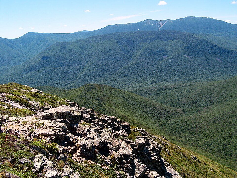
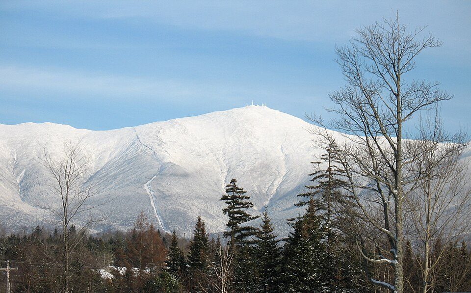
Big draw16 mi MountainMount Washington
15 mi Ski areaCannon Mountain104 runs · 2,201 ft vertical
21 mi National forestWhite Mountain National Forest
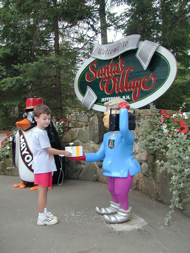
6 mi Theme parkSanta's Village
35 mi LakeLake Willoughby10 mi Ski areaBretton Woods Ski Area90 runs · 1,395 ft verticalMount Washington: wwoods, CC BY-SA 3.0 · Cannon Mountain: Mikespenard at English Wikipedia, CC BY-SA 3.0 · White Mountain National Forest: Ken Gallager at English Wikipedia, Public domain · Santa's Village: Alex McLeod, CC BY-SA 2.0 · Lake Willoughby: King of Hearts, CC BY-SA 4.0
None within 15 miles of Whitefield; the nearest are
About 6 of every 100 Whitefield residents are enrolled in college, about the same as New Hampshire.
4 notable people were born in Whitefield.
Town in New Hampshire, United States
Whitefield is a town in Coös County, New Hampshire, United States, in the White Mountains Region. The population was 2,490 at the 2020 census. Situated on the northern edge of the White Mountains, Whitefield is home to the Mount Washington Regional Airport and the White Mountains Regional High School. Whitefield is part of the Berlin, NH-VT Micropolitan Statistical Area. The central village in the town, where 1,460 people resided at the 2020 census, is defined as the Whitefield census-designated place (CDP) and is located at the junction of U.S. Route 3, New Hampshire Route 116 and NH Route 142.
From Wikipedia, licensed CC BY-SA 4.0 · facts via Wikidata (CC0)
4 towns share a border with Whitefield.
| Town | NH rank | Overall | Cost | Safety | Schools | Health |
|---|---|---|---|---|---|---|
| Whitefield | #117 | C− | D | A+ | C− | B− |
| Dalton | — | — | — | — | — | — |
| Jefferson | — | — | C | — | C− | A− |
| Carroll | — | — | — | — | — | — |
| Bethlehem | #61 | B+ | C | A− | B+ | A |
Jefferson has fewer than 2,500 residents, so it gets subject grades but no overall grade. Jefferson reports no FBI crime data of its own. Dalton and Carroll aren’t graded (fewer than 1,000 residents, or not enough data). Compare Whitefield with a neighbor →
Short answers, built from the data on this page.
Whitefield grades C− overall, better than 20% of U.S. towns and #117 of 125 in New Hampshire. It grades B− for health, A+ for safety and C− for schools. Cost of living is its weak spot, with a D.
Yes. Cost of living, which also weighs rents, property taxes and how many households pay 30% or more of their income for housing, grades D.
4 notable people were born here, including John G. Foster and Amos Kidder Fiske.