
Rumney, N.H, 1909
Rumney’s story
259 years in pictures
The archive holds 6 old photos and papers going back to 1909.
- 1767Rumney is settled
Each edition grades its towns against each other only.

Rumney’s best subject grades are an A+ for safety, an A for health, and an A− for civic life; its weakest is a D for hazard risk. On safety, just 12 of New Hampshire’s 149 towns do better. Most errands need a car: it is less walkable than 78% of U.S. towns. Among 127 New Hampshire towns, just one has a lower July high than Rumney. 48% of the land in Rumney is conserved, above both the New Hampshire town median (18%) and the median of U.S. towns (4.3%). The biggest park or preserve is Cardigan Highlands - Green Acre Woodlands, at 317 acres. Rumney has fewer than 2,500 residents, so it gets subject grades but no overall grade.
Where Rumney beats most towns.
| Widest gap | Rumney | NH |
|---|---|---|
| More adults with heart disease | 7.3% | 6% |
In a town this size, neighbors are the best guide. Ask them anything.
Each subject compared with towns across the country (schools within New Hampshire), ordered by how far Rumney is from typical.
How TownRatings grades towns →
The archive holds 6 old photos and papers going back to 1909.
Who provides power, water and the rest in Rumney, and how to reach them.
EPA SDWIS (Oct 9, 2026) · HIFLD + EIA-861 2025 · Census 2020 ZCTAs · NCES 2024–25 · registration: vote.gov, updated Nov 19, 2024.
Ordered by what stands out in Rumney.
The level of property crime for Rumney comes to 3.3 per 1,000 residents, against 4.4 in New Hampshire’s towns and 9.9 across U.S. towns. Among 126 New Hampshire towns, just 5 have a lower violent offense rate than Rumney. No violent crime was reported locally.
| Rumney | New Hampshire towns | U.S. towns | |
|---|---|---|---|
| Violent crimes per 1,000 (2025) | 0 per 1,000 residents | 0.7 | 1.6 |
| Property crimes per 1,000 (2025) | 3.3 per 1,000 residents | 4.4 | 9.9 |
FBI crime data, 2025 · crimes reported to police
Public schools: the Rumney School District. Its one school is below. 84 students attend the town’s public school.
| School | Level | Students | Letter |
|---|---|---|---|
| Russell Elementary SchoolLargest public elementary schoolGrades K–8 | Grades K–8 | 84 | B |
NCES · EDFacts · graded within NH on state tests and graduation
37 miles of trail in 6 parks and preserves. Rumney’s concentration of trails is 0.9 miles per square mile.
| Biggest places to walk | Trails | Acres |
|---|---|---|
| 1. Quincy Bog Natural Area | 1.3 mi | 44 |
| 2. Cardigan Highlands - Green Acre Woodlands | 0.8 mi | 317 |
| 3. Quincy Pasture Forest | — | 101 |
Trails & parks © OpenStreetMap contributors · Conserved land: USGS PAD-US
Among adults in Rumney, 12% smoke cigarettes. Two figures for adults locally: 31% sleep under 7 hours, 14% report frequent mental distress.
| Rumney | New Hampshire towns | U.S. towns | |
|---|---|---|---|
| Obesity (CDC PLACES) | 27% | 32% | 35% |
| Sleep under 7 hours (CDC PLACES) | 31% | 33% | 36% |
| Frequent mental distress (CDC PLACES) | 14% | 16% | 17% |
| Binge drink (CDC PLACES) | 14% | 16% | 16% |
| What stands out | Rumney | NH |
|---|---|---|
| More adults with heart disease | 7.3% | 6% |
| More adults with arthritis | 32.7% | 27.6% |
| More adults who have had cancer | 11.6% | 9.8% |
CDC PLACES 2025 · modeled estimates for adults · CMS · HRSA
Federal disaster aid has reached households in Rumney after 7 declared disasters, most recently in 2023. FEMA expects more storm and flood damage locally than in nearly four fifths of U.S. communities. 85% of the town’s expected losses from natural hazards come from inland flooding.
FEMA disaster declarations and aid · FEMA National Risk Index · OpenFEMA
The mean commuting time in Rumney is 33 minutes. For most workers, Rumney is a place to come home to: only 9% work in town. Between 2013 and 2023, jobs locally rose by 28, to 269. Rumney: 10% of residents live below the poverty line.
| Rumney | New Hampshire towns | U.S. towns | |
|---|---|---|---|
| Average trip to work | 33 minutes | 28 minutes | 25 minutes |
| Median household income | $79,000 | $103,000 | $80,000 |
| Below the poverty line | 10% | 6.8% | 9.6% |
Census LEHD 2023 · ACS
Among 121 New Hampshire towns, just 10 have a lower going rate for rent than Rumney. Typical home values rose 6.9% in the year to September 2026.
Census ACS, 2020–24 · Zillow Home Value Index · Redfin Data Center
NOAA U.S. Climate Normals, 1991–2020
24% of residents are 65 or older in Rumney. Here, 42% of adults 25 and older have a bachelor’s degree, against 41% in New Hampshire as a whole. The age of the median resident for Rumney comes to 44.5 years.
| Rumney | New Hampshire towns | U.S. towns | |
|---|---|---|---|
| Aged 65 or older | 24% | 20% | 18% |
| Bachelor’s degree or more, 25+ | 42% | 39% | 29% |
| Under 18 | 19% | 18% | 22% |
| Median age | 44.5 years | 44.8 years | 40.5 years |
52% women, 48% men
That’s an even split within the survey’s margin of ±4.7 points. Across New Hampshire, 50.1% of residents are women.
| Rumney | NH | U.S. | |
|---|---|---|---|
| Under 10 | 8.8% | 9.3% | 11.6% |
| 10 to 17 | 9.9% | 8.9% | 10.3% |
| 18 to 24 | 4.7% | 8.7% | 9.1% |
| 25 to 34 | 15.4% | 12.7% | 13.7% |
| 35 to 44 | 12.5% | 12.4% | 13.2% |
| 45 to 54 | 11% | 12.4% | 12.2% |
| 55 to 64 | 13.6% | 15.5% | 12.7% |
| 65 to 74 | 15% | 12.2% | 10.2% |
| 75 and older | 9.2% | 7.9% | 7% |
| No diploma | 6.1% | 5.6% | 10.4% |
| High school | 30.7% | 26.8% | 26% |
| Some college | 14.4% | 17.2% | 19.1% |
| Associate’s | 6.9% | 9.8% | 8.8% |
| Bachelor’s | 17.4% | 24.5% | 21.6% |
| Graduate | 24.5% | 16.1% | 14.1% |
U.S. Census Bureau · ACS 2020-2024 5-year estimates · in a town of 1,500, single groups can be off by several points
Museums, parks, gardens and other places to visit around Rumney. Close and well known come first.
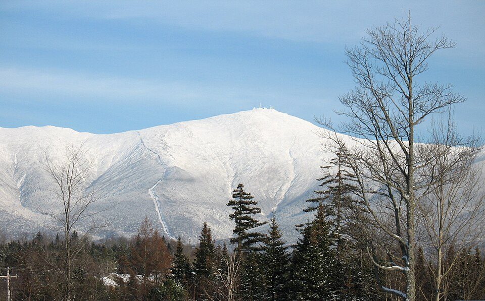 Big draw38 mi MountainMount Washington
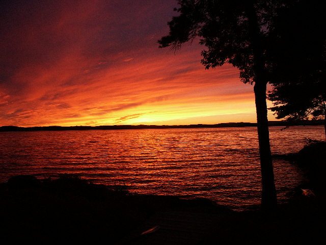 28 mi LakeLake Winnipesaukee
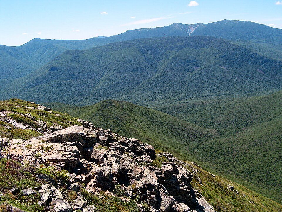 26 mi National forestWhite Mountain National Forest
 24 mi Ski areaCannon Mountain104 runs · 2,201 ft vertical
 15 mi Ski areaWaterville Valley Resort84 runs · 1,990 ft vertical
 35 mi Scenic railwayConway Scenic Railroad
Mount Washington: wwoods, CC BY-SA 3.0 · Lake Winnipesaukee: No machine-readable author provided. JohnJHenderson~commonswiki assumed (based o, Public domain · White Mountain National Forest: Ken Gallager at English Wikipedia, Public domain · Cannon Mountain: Mikespenard at English Wikipedia, CC BY-SA 3.0 · Waterville Valley Resort: MConradWard, CC BY-SA 4.0 · Conway Scenic Railroad: Pi.1415926535, CC BY-SA 3.0
1 within 15 miles of the center of Rumney
About 5 of every 100 Rumney residents are enrolled in college, about the same as New Hampshire.
47.6% of the town is conserved land, across 6 parks and preserves.
Town in New Hampshire, United States
Rumney is a town in Grafton County, New Hampshire, United States. The population was 1,498 at the 2020 census. The town is located at the southern edge of the White Mountain National Forest.
From Wikipedia, licensed CC BY-SA 4.0 · facts via Wikidata (CC0)
Short answers, built from the data on this page.
That is 4.3 years of the area's median household income ($83,269 across the Lebanon-Claremont, NH-VT area). Cost of living, which also weighs rents, property taxes and how many households pay 30% or more of their income for housing, grades C+.
2 notable people were born here, including Nathan Clifford and J. J. Donovan.


