

Buckminster-Kingsbury Farm · National Register of Historic Places
Roxbury’s story
214 years in pictures
1 place on the National Register of Historic Places.
- 1812Roxbury is settled
Each edition grades its towns against each other only.
No town among the 127 in New Hampshire we compare has a lower share of working residents who work in town than Roxbury. 52% of the land in Roxbury is conserved, where New Hampshire’s towns sit at 18% and U.S. towns at 4.3%. The biggest place to walk is Keene Watershed Land, 2,423 acres with 11.3 miles of trail. Roxbury has fewer than 1,000 residents, too few for fair grades; the figures below are still real.
Where Roxbury beats most towns.
In a town this size, neighbors are the best guide. Ask them anything.
1 place on the National Register of Historic Places.
Who provides power, water and the rest in Roxbury, and how to reach them.
EPA SDWIS (Oct 9, 2026) · HIFLD + EIA-861 2025 · Census 2020 ZCTAs · NCES 2024–25 · registration: vote.gov, updated Nov 19, 2024.
Ordered by what stands out in Roxbury.
25 miles of trail in 3 parks and preserves. Roxbury’s trail density is 2.1 miles per square mile, against 1.2 in New Hampshire’s towns and 0.4 across U.S. towns.
| Biggest places to walk | Trails | Acres |
|---|---|---|
| 1. Keene Watershed Land | 11.3 mi | 2,423 |
| 2. Taves Reservation | 2.6 mi | 668 |
| 3. Taves Forest | — | 141 |
Trails & parks © OpenStreetMap contributors · Conserved land: USGS PAD-US
Most working residents leave Roxbury for work: only 1% work in town. Roxbury’s average trip to work is 21 minutes. The top destinations are Keene (35%), Peterborough (4%) and Nashua (3%).
| Roxbury | New Hampshire towns | U.S. towns | |
|---|---|---|---|
| Average trip to work | 21 minutes | 28 minutes | 25 minutes |
| Median household income | $69,000 | $103,000 | $80,000 |
| Below the poverty line | 3.7% | 6.8% | 9.6% |
Census LEHD 2023 · ACS
Roxbury has cold, snowy winters and pleasant summers, with plenty of rain. The July high in Roxbury is 79°F.
NOAA U.S. Climate Normals, 1991–2020
Expected storm and flood damage is higher than in 61% of U.S. communities.
FEMA National Risk Index · OpenFEMA
No violent or property crimes were reported in Roxbury in 2025. In a town this small, a few incidents move the numbers a lot, so rates aren't shown.
Roxbury is small, so we show counts rather than rates.
FBI crime data, 2025 · crimes reported to police
Roxbury beats the New Hampshire average on 0 of 32 CDC measures and trails it on 1. 75% of Roxbury adults had a checkup this year.
| Roxbury | New Hampshire towns | U.S. towns | |
|---|---|---|---|
| Yearly checkup (CDC PLACES) | 75% | 78% | 79% |
| Obesity (CDC PLACES) | 30% | 32% | 35% |
| Sleep under 7 hours (CDC PLACES) | 32% | 33% | 36% |
| Diabetes (CDC PLACES) | 9.2% | 9.5% | 12% |
| What stands out | Roxbury | NH |
|---|---|---|
| More older adults who have lost all their teeth | 12.6% | 8.9% |
CDC PLACES 2025 · modeled estimates for adults · CMS · HRSA
Museums, parks, gardens and other places to visit around Roxbury. Close and well known come first.
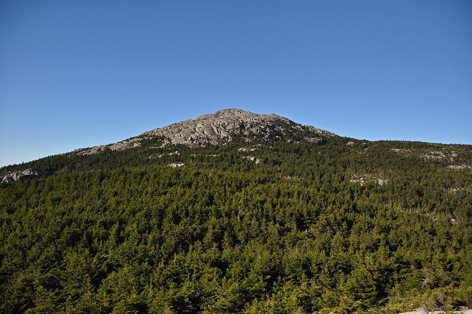 8 mi MountainMount Monadnock
 36 mi Ski areaMount Snow119 runs · 1,648 ft vertical
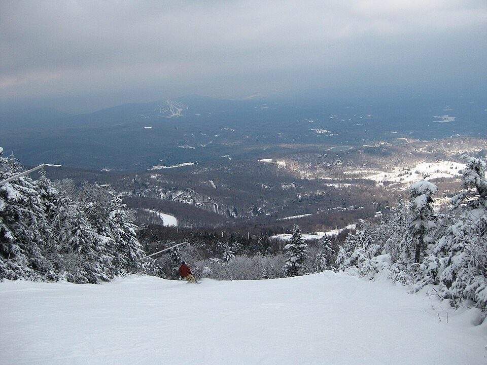 38 mi Ski areaStratton Mountain Resort106 runs · 1,899 ft vertical
 37 mi Stadium & arenaSNHU Arena
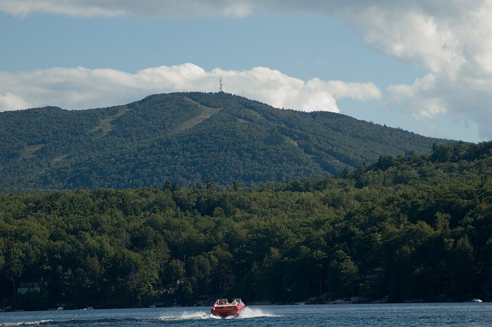 27 mi Ski areaMount Sunapee77 runs · 1,469 ft vertical
 24 mi MuseumFort at Number 4
Mount Monadnock: Jonwmcinenrey, CC BY-SA 4.0 · Mount Snow: William J Sisti from Morristown, NJ, USA, CC BY-SA 2.0 · Stratton Mountain Resort: Rudi Riet from Washington, DC, United States, CC BY-SA 2.0 · SNHU Arena: Quintin Soloviev, CC BY 4.0 · Mount Sunapee: User:Josephbrophy, Public domain · Fort at Number 4: John Phelan, CC BY-SA 4.0
3 within 15 miles of the center of Roxbury
About 13 of every 100 Roxbury residents are enrolled in college, against 6 across New Hampshire.
51.6% of the town is conserved land, across 3 parks and preserves.
Town in New Hampshire, United States
Roxbury is a town in Cheshire County, New Hampshire, United States. The population was 220 at the 2020 census.
From Wikipedia, licensed CC BY-SA 4.0 · facts via Wikidata (CC0)
Short answers, built from the data on this page.
Roxbury has fewer than 1,000 residents, too few for fair grades; the figures below are still real.


