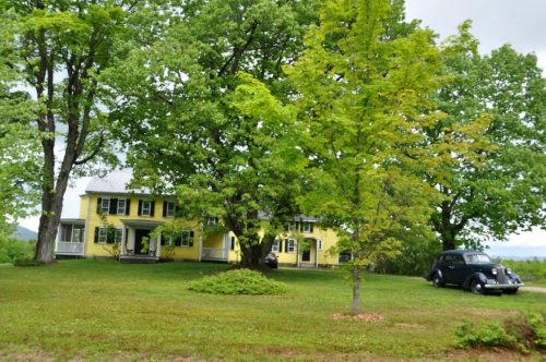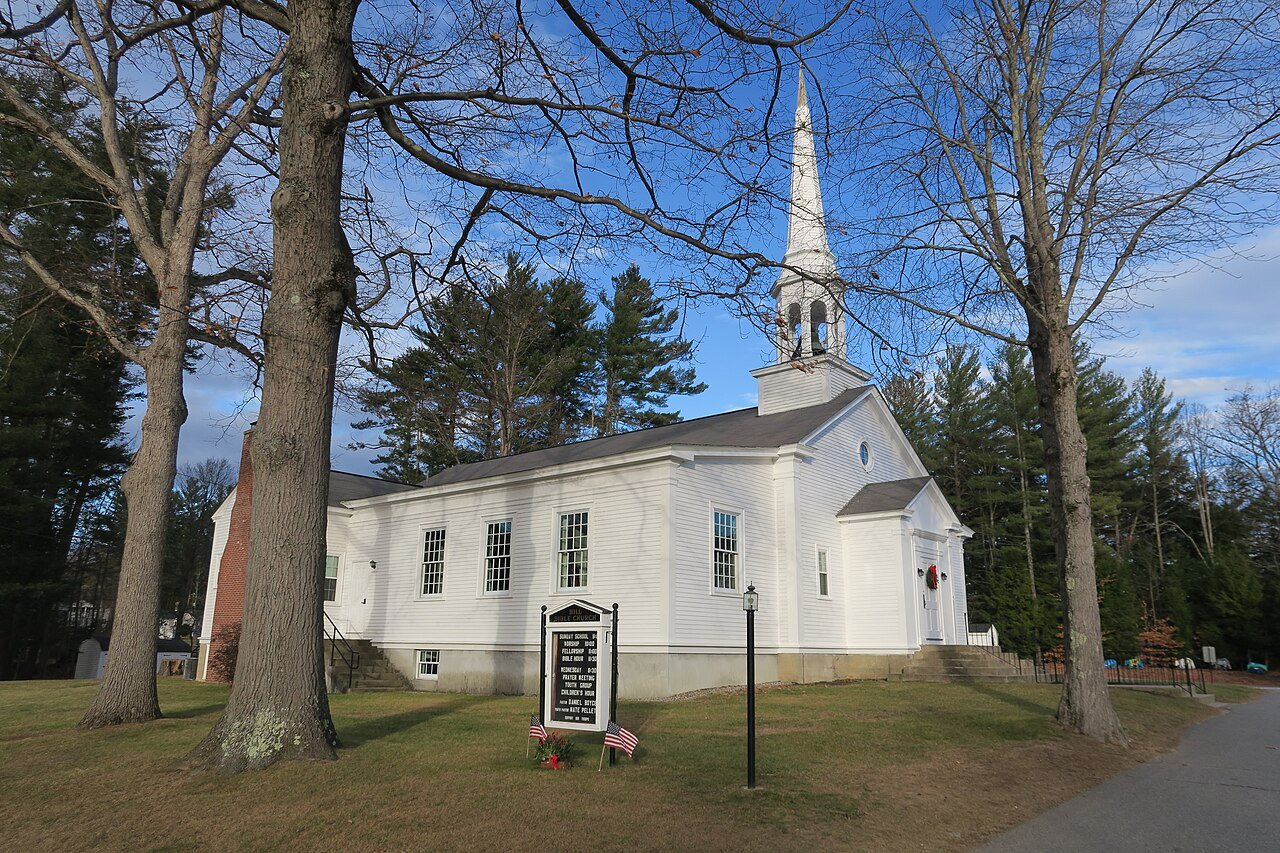
248 years in pictures
Census counts: 620 in 1870, a low of 310 in 1950, 1,017 in 2020. The archive holds 6 old photos and papers going back to 2012 and 4 maps from 1925 on.
2 places on the National Register of Historic Places.
- 1778Hill is settled
Each edition grades its towns against each other only.

Hill’s best subject grade is an A for history; its weakest is a D for walkability. Only 8 of New Hampshire’s 187 towns score lower on walkability. FEMA rates its natural-hazard risk higher than 80% of U.S. communities, with inland flooding at the top. Of the 127 New Hampshire towns we compare, none has a lower share of working residents who work in town than Hill. 31% of the land in Hill is conserved, above both New Hampshire’s towns (18%) and U.S. towns (4.3%). Only 1 of New Hampshire’s 187 towns score lower on the outdoors. The biggest park or preserve is William H. Thomas State Forest, at 1,671 acres. Hill has fewer than 2,500 residents, so it gets subject grades but no overall grade.
Where Hill beats most towns.
Census counts: 620 in 1870, a low of 310 in 1950, 1,017 in 2020. The archive holds 6 old photos and papers going back to 2012 and 4 maps from 1925 on.
2 places on the National Register of Historic Places.
Each subject compared with towns across the country (schools within New Hampshire), ordered by how far Hill is from typical.
How TownRatings grades towns →
Who provides power, water and the rest in Hill, and how to reach them.
EPA SDWIS (Oct 9, 2026) · HIFLD + EIA-861 2025 · Census 2020 ZCTAs · NCES 2024–25 · registration: vote.gov, updated Nov 19, 2024.
Ordered by what stands out in Hill.
34 miles of trail in 7 parks and preserves. Hill’s trail density is 1.3 miles per square mile, near the New Hampshire town median (1.2) and above the median of U.S. towns (0.4). The biggest park or preserve is William H. Thomas State Forest, at 1,671 acres.
| Biggest places to walk | Trails | Acres |
|---|---|---|
| 1. Page Hill Conservation Area | 9.5 mi | 400 |
| 2. Franklin Falls Reservoir | 5.8 mi | 621 |
| 3. Glory Hill Conservation Area | 2.1 mi | 84 |
Trails & parks © OpenStreetMap contributors · Conserved land: USGS PAD-US
Its public schools are run by the Hill School District. Its one school is below.
| School | Level | Students | Letter |
|---|---|---|---|
| Jennie D. Blake SchoolLargest public elementary schoolGrades PK–6 | Grades PK–6 | 63 | B |
NCES · EDFacts
Among 127 New Hampshire towns, just 10 have a higher FEMA risk score than Hill.
FEMA National Risk Index · OpenFEMA
Most working residents leave Hill for work: only 1% work in town. The average trip to work in Hill is 35 minutes. The top destinations are Concord (9%), New London (7%) and Manchester (7%).
| Hill | New Hampshire towns | U.S. towns | |
|---|---|---|---|
| Average trip to work | 35 minutes | 28 minutes | 25 minutes |
| Work from home | 9.7% | 16% | 11% |
| Median household income | $82,000 | $103,000 | $80,000 |
| Below the poverty line | 9.9% | 6.8% | 9.6% |
Census LEHD 2023 · ACS
Hill beats the New Hampshire average on 0 of 32 CDC measures and trails it on 4. 28% of adults feel lonely in Hill. Only 4 of the 127 New Hampshire towns we compare have a lower share of adults who binge drink than Hill.
| Hill | New Hampshire towns | U.S. towns | |
|---|---|---|---|
| Feel lonely (CDC PLACES) | 28% | 30% | 33% |
| Binge drink (CDC PLACES) | 14% | 16% | 16% |
| Yearly checkup (CDC PLACES) | 81% | 78% | 79% |
| Sleep under 7 hours (CDC PLACES) | 32% | 33% | 36% |
| What stands out | Hill | NH |
|---|---|---|
| More adults with COPD | 8% | 6.2% |
| More older adults who have lost all their teeth | 11.2% | 8.9% |
| More adults with heart disease | 7.1% | 6% |
CDC PLACES 2025 · modeled estimates for adults · CMS · HRSA
Hill has cold, snowy winters and pleasant summers, with plenty of rain. Hill’s July high is 79°F.
NOAA U.S. Climate Normals, 1991–2020
The typical Hill home is worth about $422,000, up 11.1% in a year, 17% below the New Hampshire typical home. 94% of Hill households own their home.
Census ACS, 2020–24 · Zillow Home Value Index · Redfin Data Center
Museums, parks, gardens and other places to visit around Hill. Close and well known come first.
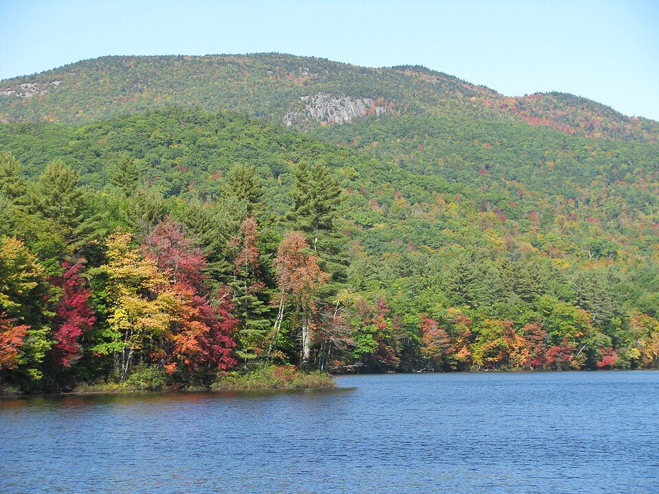
23 mi LakeLake Winnipesaukee
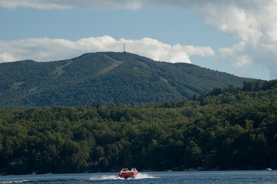
5 mi Ski areaRagged Mountain Resort42 runs · 1,103 ft vertical
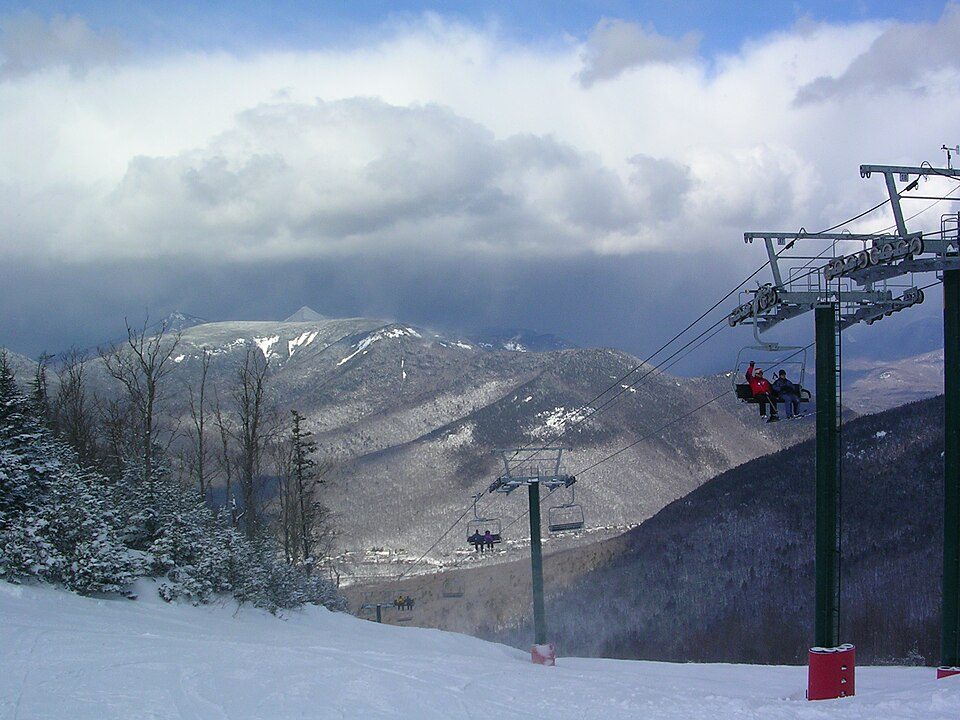
32 mi Ski areaWaterville Valley Resort84 runs · 1,990 ft vertical
21 mi Ski areaMount Sunapee77 runs · 1,469 ft vertical
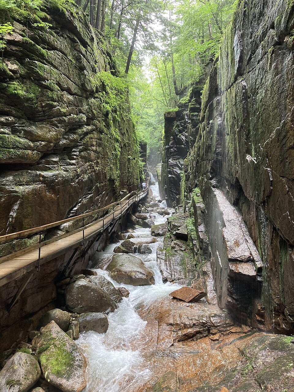
40 mi WaterfallFlume Gorge
37 mi Ski areaLoon Mountain Resort80 runs · 2,189 ft verticalLake Winnipesaukee: No machine-readable author provided. JohnJHenderson~commonswiki assumed (based o, Public domain · Ragged Mountain Resort: Tom Morgan, Public domain · Waterville Valley Resort: MConradWard, CC BY-SA 4.0 · Mount Sunapee: User:Josephbrophy, Public domain · Flume Gorge: MyCatIsAChonk, CC BY-SA 4.0 · Loon Mountain Resort: Own work, Public domain
1 within 15 miles of the center of Hill
About 3 of every 100 Hill residents are enrolled in college, against 6 across New Hampshire.
In a town this size, neighbors are the best guide. Ask them anything.
2 places in Hill on the National Register of Historic Places.
Town in New Hampshire, United States
Hill is a town in Merrimack County, New Hampshire, United States. The population was 1,017 at the 2020 census. It is home to William Thomas State Forest.
From Wikipedia, licensed CC BY-SA 4.0 · facts via Wikidata (CC0)
Short answers, built from the data on this page.
Home to 2 places on the National Register of Historic Places.
That is 4.3 years of the area's median household income ($97,004 across the Concord, NH area). Cost of living, which also weighs rents, property taxes and how many households pay 30% or more of their income for housing, grades C.