From Sargent Township’s archive · credits on each photo
Quick answers
How Sargent Township began
When was Sargent Township founded?
1879
The Sargent Township post office opened in 1879, the earliest record of the town by name. Another post office, Phillipsburg (1882), opened inside today’s town and later closed.
First census: 250 in 19002020 census: 627147 years
Founding year: the first Sargent Township post office (Blevins & Helbock, CC0).The full story ↓
What stands out about Sargent Township’s past
Read from the archive, the National Register and the record. The page puts what stands out first.
Sargent was laid out in 1883 by future Governor Ezra P. Savage.
Mrs. Ruth Sherman established a post office in 1879. The office was located in a soddy one half mile east of the now corporate limits of town. She chose the name "Sargent" in honor of her close friends, Mr. and Mrs. E.D. Sargent of Streator, IL.
J.K. Spacht built the first store in what is now Sargent, in July 1883, in the middle of a wheat field. After establishment of this general store, Mr. Spacht was able to persuade Mrs. Sherman to let him move her post office to his store if the name would remain "Sargent".
The town experienced rapid growth when the railroad extended to it in 1899.
Nothing in the archives for these yearsWeddings on Main Street, storms, parades, school pictures, the old store. If it’s in your family album, it belongs here.
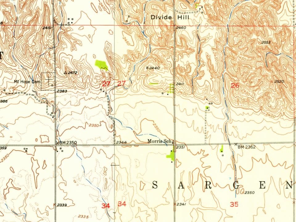
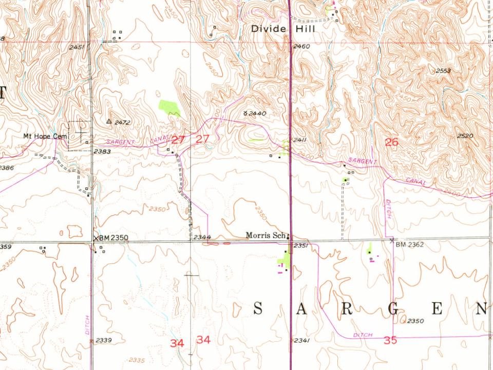
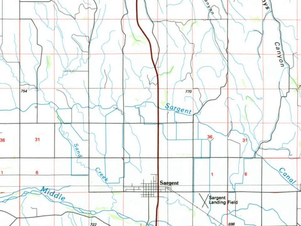
Every edition of the U.S. Geological Survey’s map of Sargent Township. Tap a year, or press play to watch the town change.
1952Sargent East sheet · 1:24,000
U.S. Geological Survey historical topographic maps (public domain), via Esri’s collection of the scans. The red ring marks the center of Sargent Township.
Then & now
Stand where they stood
No then-and-now pairs yet. Take a photo from the same spot as an old one and they appear here side by side.
Retake this viewWilliam Moore and family, 1886
Find the spot, match the angle, and add your photo. It becomes the first then-and-now pair on Sargent Township’s page.
Founding dates: Wikidata, Wikipedia, the U.S. post office records of Blevins & Helbock (CC0) and the Census. Homes by year built: Census ACS 2020–24. National Register of Historic Places: National Park Service (list of May 22, 2026). Old photos, postcards and papers: Wikimedia Commons, the Library of Congress and other public archives, credited on each item’s page. Maps: U.S. Geological Survey historical topographic maps (via Esri) and Sanborn fire-insurance maps (Library of Congress). History text and census tables: Wikipedia (CC BY-SA 4.0). Places that used to be: USGS Geographic Names Information System (2021). How TownRatings grades history →
From Wikimedia Commons (3), the Library of Congress (2), Wikidata (1), Wikipedia, U.S. Geological Survey historical maps, U.S. Census counts (via Wikipedia), the US Post Offices dataset (Blevins & Helbock) and the USGS Geographic Names Information System. Archive images are copied here with their credits and licenses, shown on each photo’s page. Refreshed monthly.


 1886
 2010
 2010
 2005