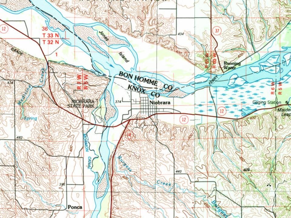
Most of Niobrara was built recently: 7% of its homes predate 1940 and the median home dates from 1975. Below: 1 old photo or paper, maps from 1986 on, and the census since 1880.
Niobrara was founded in 1856, when a group of men headed by a Dr. Benneville Yeakel Shelly marked their claim to an area on the banks of the Missouri River. There, a fort was built to protect the early settlers from Indian attacks. The settlement took its name from the Niobrara River.
The village has been moved twice. It was first moved after a winter flood destroyed parts of the original settlement in 1881. It was moved again after a ruling in 1976 by the US Court of Claims, in the case of Barnes v. United States. The court ruled that US Corps of Engineers was responsible for ground water related damage driven by sediment build up caused by the Gavins Point Dam.
In 1856, according to Wikidata and Wikipedia’s history of the town. Niobrara’s post office opened in 1857, and the census of 1880 counted 475 people here.
Founding dates: Wikidata, Wikipedia, the U.S. post office records of Blevins & Helbock (CC0) and the Census. Homes by year built: Census ACS 2020–24. National Register of Historic Places: National Park Service (list of May 22, 2026). Old photos, postcards and papers: Wikimedia Commons, the Library of Congress and other public archives, credited on each item’s page. Maps: U.S. Geological Survey historical topographic maps (via Esri) and Sanborn fire-insurance maps (Library of Congress). History text and census tables: Wikipedia (CC BY-SA 4.0). Places that used to be: USGS Geographic Names Information System (2021). How TownRatings grades history →
From Wikimedia Commons (4), the Library of Congress (1), Wikidata (1), Wikipedia, U.S. Geological Survey historical maps, U.S. Census counts (via Wikipedia), the US Post Offices dataset (Blevins & Helbock) and the USGS Geographic Names Information System. Archive images are copied here with their credits and licenses, shown on each photo’s page. Refreshed monthly.

 Date?
 2013
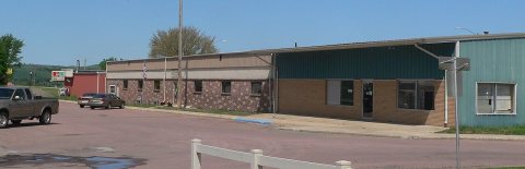 2013
 2013
 2005