Brownville dates to 1854, and 36% of its homes were built before 1940
4 places in town are on the National Register, among them the CAPTAIN MERIWETHER LEWIS (dredge), a National Historic Landmark, and a historic district with 21 buildings. Below: maps from 1915 on and the census since 1860.
Established in 1854 and incorporated in 1856, Brownville was the largest town in the Nebraska Territory, with a population of 1,309 by 1880. Bordering slave-holding Missouri, the town became an important port on the Missouri River. Daniel Freeman, the first homesteader to file a claim under the Homestead Act of 1862, staked his claim at a New Year's Eve party in Brownville.
The first post office was called Brownsville and existed from 1853 to 1870, when it was changed to Brownville; however the name changed may have occurred later since a 1909 Post Office Department map shows the former name.
Every edition of the U.S. Geological Survey’s map of Brownville. Tap a year, or press play to watch the town change.
1915Nemaha sheet · 1:62,500
U.S. Geological Survey historical topographic maps (public domain), via Esri’s collection of the scans. The red ring marks the center of Brownville.
Places that used to be
Lost post offices and places now gone
Brownville’s post office has been open since 1870. Another post office, Brownsville, opened and closed inside today’s town.
Brownsville
1861–1870
Brownville
1870–today
18601940today
Gone or out of use
Brownvillelocale
US Post Offices dataset (Blevins & Helbock, CC0). Places and cemeteries from the USGS Geographic Names Information System (2021).
Questions about Brownville’s history
What year was Brownville founded?
In 1854, according to Wikidata. Brownville’s post office opened in 1861, and the census of 1860 counted 425 people here.
What is on the National Register in Brownville?
4 listings: 1 building, 1 historic district, the Brownville Historic District, with 21 contributing buildings, and 2 structures. 22 historic buildings in all.
Founding dates: Wikidata, Wikipedia, the U.S. post office records of Blevins & Helbock (CC0) and the Census. Homes by year built: Census ACS 2020–24. National Register of Historic Places: National Park Service (list of May 22, 2026). Old photos, postcards and papers: Wikimedia Commons, the Library of Congress and other public archives, credited on each item’s page. Maps: U.S. Geological Survey historical topographic maps (via Esri) and Sanborn fire-insurance maps (Library of Congress). History text and census tables: Wikipedia (CC BY-SA 4.0). Places that used to be: USGS Geographic Names Information System (2021). How TownRatings grades history →
From Wikimedia Commons (2), the Library of Congress (10), the National Register of Historic Places (4), Wikipedia, U.S. Geological Survey historical maps, U.S. Census counts (via Wikipedia), the US Post Offices dataset (Blevins & Helbock) and the USGS Geographic Names Information System. Archive images are copied here with their credits and licenses, shown on each photo’s page. Refreshed monthly.

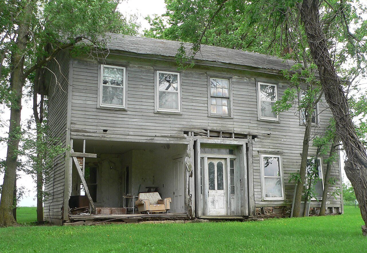

 ★ Landmark


 2021
 2021
 2021
 2021
 2021
 2021
 2021
 2021
 2021
 2021
 2011
 2005


