Nothing in the archives for these yearsWeddings on Main Street, storms, parades, school pictures, the old store. If it’s in your family album, it belongs here.
The city was named after the historic indigenous Mandan of the area. The Mandan are now part of the Three Affiliated Tribes of the Fort Berthold Reservation, spanning the upper Missouri River in the western part of the state. Their people also live in cities of the state and other areas. In the 2010 census, nearly 5% of the people in Mandan identified as Native American.
The Mandan Indian village at the southern base of Crying Hill prominent in east Mandan was recorded as early as 1738 and called Good Fur Robe, after their chief. The settlement was also recorded as Crying Hill and Two Face Stone, after their corresponding geographic features. It was one of six Mandan villages on the west riverbank between the Knife and Cannonball Rivers.
The U.S. Geological Survey’s map of Mandan Township.
1980Rice Lake NW sheet · 1:24,000
U.S. Geological Survey historical topographic maps (public domain), via Esri’s collection of the scans. The red ring marks the center of Mandan Township.
Then & now
Stand where they stood
No then-and-now pairs yet. Take a photo from the same spot as an old one and they appear here side by side.
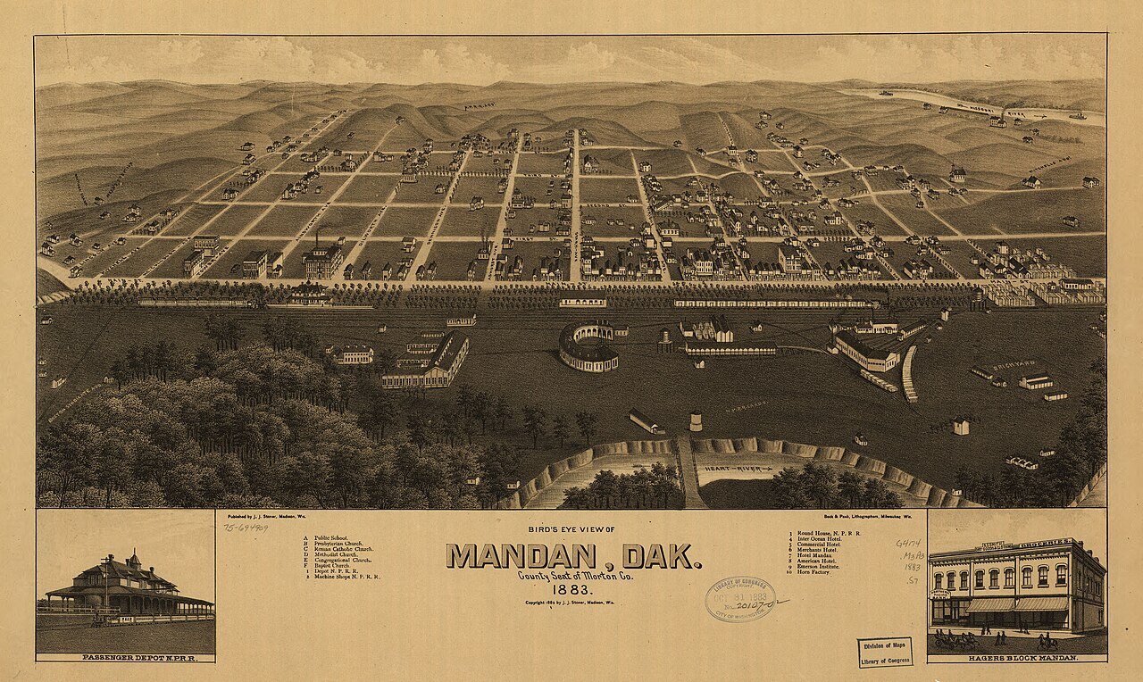
Retake this viewBird's eye view of Mandan, Dak., county seat of Morton Co. 1883, 1883
Find the spot, match the angle, and add your photo. It becomes the first then-and-now pair on Mandan Township’s page.
Founding dates: Wikidata, Wikipedia, the U.S. post office records of Blevins & Helbock (CC0) and the Census. Homes by year built: Census ACS 2020–24. National Register of Historic Places: National Park Service (list of May 22, 2026). Old photos, postcards and papers: Wikimedia Commons, the Library of Congress and other public archives, credited on each item’s page. Maps: U.S. Geological Survey historical topographic maps (via Esri) and Sanborn fire-insurance maps (Library of Congress). History text and census tables: Wikipedia (CC BY-SA 4.0). Places that used to be: USGS Geographic Names Information System (2021). How TownRatings grades history →
From Wikimedia Commons (18), the Library of Congress (5), Wikipedia, U.S. Geological Survey historical maps and U.S. Census counts (via Wikipedia). Archive images are copied here with their credits and licenses, shown on each photo’s page. Refreshed monthly.


 1883
 1903
 c. 1907
 c. 1919
 c. 1930
 c. 1930
 c. 1930
 1936
 1936
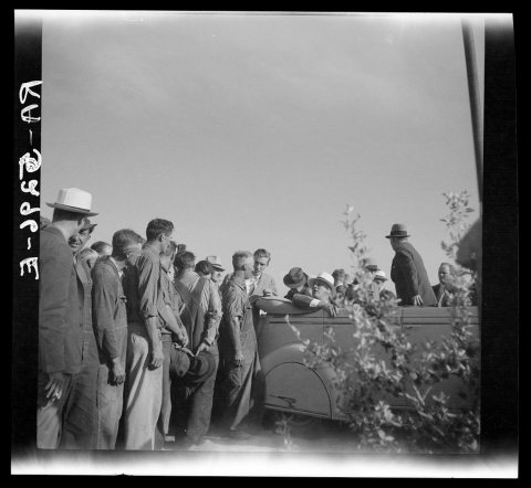 1936
 1936
 1990
 1990
 1990
 1990
 1990
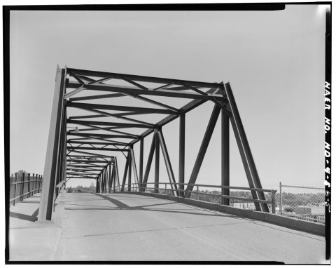 1990
 1990
 1990
 1990
 1990
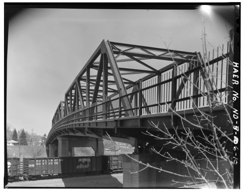 1990
 1990