Lakota’s post office opened in 1883, and 20% of its homes were built before 1940
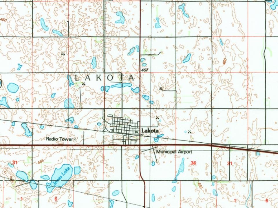
Its Register listings are the Tofthagen Library Museum and the Episcopal Church of the Good Shepard-Lakota. Below: 3 old photos and papers, maps from 1898 on, and the census since 1890.
Peaked at 1,066 in 1960; 683 people lived here in 2020.
14 censuses, 1890–2020.
U.S. Census Bureau decennial counts, from the census table on Lakota’s Wikipedia page.
Every building
Lakota, building by building, 1898–1928
Fire insurance maps drew every building, what it was made of and what it was used for, so insurers could price the risk of fire. Pick a year, then a sheet.
1898Sheet 1 of 1
Edition
Sheets
BrickWoodStone
Sanborn Map Company, via the Library of Congress. Editions published in 1930 or earlier, which are in the public domain.
The story so far
Lakota, in brief
Wikipedia doesn’t have a history of Lakota yet. The photos, dates and memories neighbors add here are how it gets written.
Lakota is a city in Nelson County, North Dakota, United States. It is the county seat of Nelson County. Lakota is located 63 miles west of Grand Forks and 27 miles east of Devils Lake. The population was 683 at the 2020 census, making Lakota the 76th-largest city in North Dakota.
Its first post office opened in 1883. Its population held steady between the last two censuses: 672 in 2010, 683 in 2020.
Intro from Wikipedia. Population: U.S. Census Bureau.
Timeline
Lakota, 1883 to 1970
Woven from the archive, old maps, post office records, the National Register and the people born here.
Nothing in the archives for these yearsWeddings on Main Street, storms, parades, school pictures, the old store. If it’s in your family album, it belongs here.
Founding dates: Wikidata, Wikipedia, the U.S. post office records of Blevins & Helbock (CC0) and the Census. Homes by year built: Census ACS 2020–24. National Register of Historic Places: National Park Service (list of May 22, 2026). Old photos, postcards and papers: Wikimedia Commons, the Library of Congress and other public archives, credited on each item’s page. Maps: U.S. Geological Survey historical topographic maps (via Esri) and Sanborn fire-insurance maps (Library of Congress). History text and census tables: Wikipedia (CC BY-SA 4.0). Places that used to be: USGS Geographic Names Information System (2021). How TownRatings grades history →
From Wikimedia Commons (12), the National Register of Historic Places (2), Wikidata and Wikipedia for famous people, U.S. Geological Survey historical maps, U.S. Census counts (via Wikipedia), the US Post Offices dataset (Blevins & Helbock), the USGS Geographic Names Information System and Sanborn fire insurance maps (Library of Congress). Archive images are copied here with their credits and licenses, shown on each photo’s page. Refreshed monthly.


 1885
 2003
 2003
 2003
 2003
 2003
 2003
 2003
 2003
 2003