
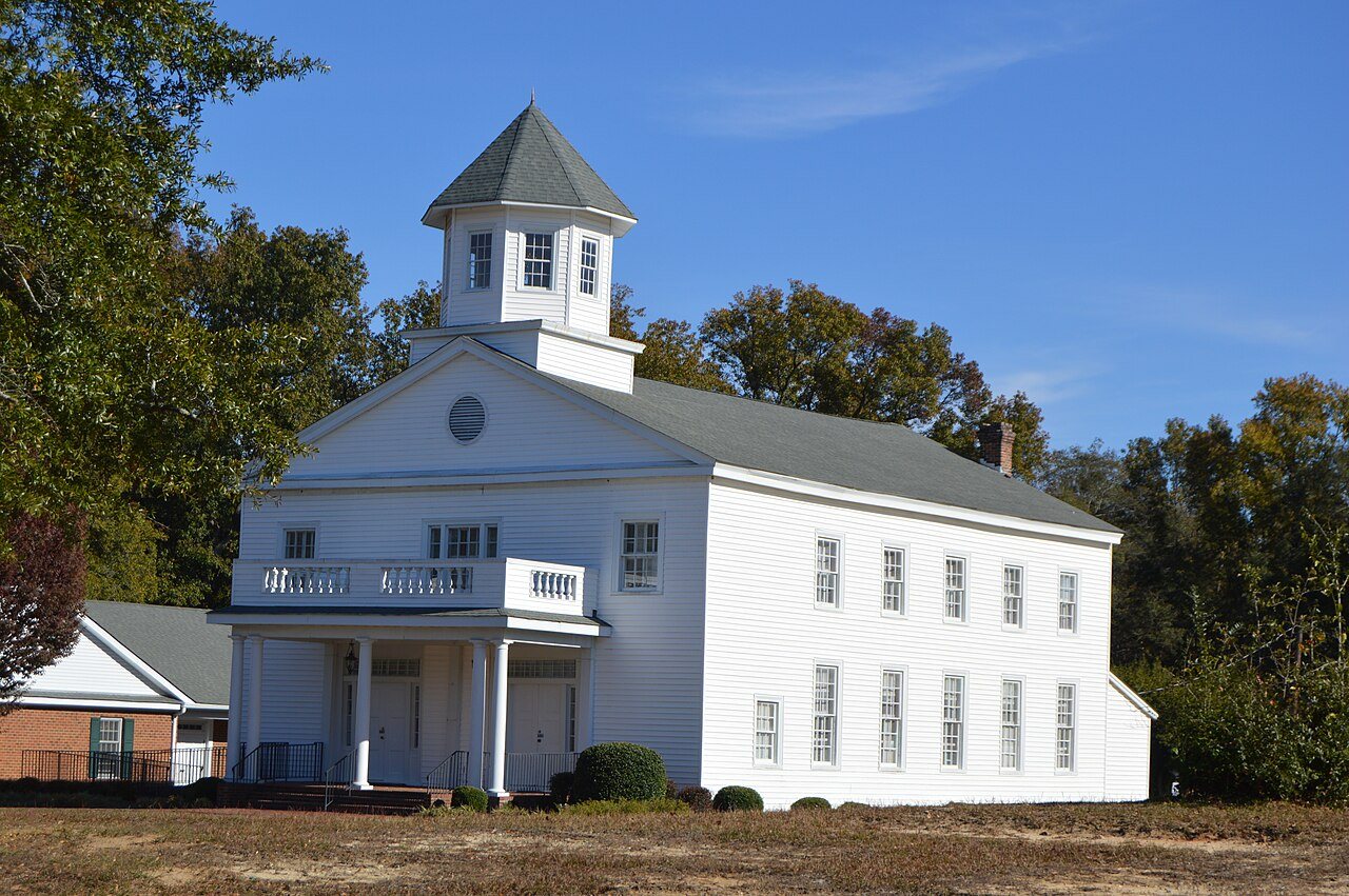
Untitled photo, 2011
Laurel Hill’s story
219 years in pictures
The archive holds 12 old photos and papers going back to 2011 and 3 maps from 1949 on.
- 1807Laurel Hill is settled
Each edition grades its towns against each other only.
31% of residents live below the poverty line in Laurel Hill, against 13% in North Carolina’s towns and 9.6% across U.S. towns. Among 235 North Carolina towns, just 2 have a lower midpoint home value than Laurel Hill. Laurel Hill has fewer than 1,000 residents, too few for fair grades; the figures below are still real.
Where Laurel Hill beats most towns.
In a town this size, neighbors are the best guide. Ask them anything.
The archive holds 12 old photos and papers going back to 2011 and 3 maps from 1949 on.
Laurel Hill is unincorporated, so Scotland County and regional agencies provide most services.
EPA SDWIS (Oct 9, 2026) · HIFLD + EIA-861 2025 · Census 2020 ZCTAs · NCES 2024–25 · registration: vote.gov, updated Nov 18, 2024.
Ordered by what stands out in Laurel Hill.
Typical home values rose 5.2% in the year to September 2026. 70% of Laurel Hill households live in a home they own.
Census ACS, 2020–24 · Zillow Home Value Index · Redfin Data Center
Just 1% of Laurel Hill’s working residents have a job in town. For Laurel Hill, the average commute is 33 minutes. Since 2013, Laurel Hill has lost 37 jobs, to 97 in 2023. The top destinations are Laurinburg (21%), Rockingham (4%) and Charlotte (4%).
| Laurel Hill | North Carolina towns | U.S. towns | |
|---|---|---|---|
| Average trip to work | 33 minutes | 24 minutes | 25 minutes |
| Working residents who work in town | 1.3% | 6.8% | 8% |
Census LEHD 2023 · ACS
Winters in Laurel Hill are mild and summers warm. July afternoons reach 91°, January nights drop to 32° and about 1 inches of snow falls in a winter.
NOAA U.S. Climate Normals, 1991–2020
Laurel Hill’s FEMA hazard score is 64 of 100. Federal disaster aid has reached households in Laurel Hill after 3 declared disasters, most recently in 2018. Expected losses in Laurel Hill break down as 36% from inland flooding and 21% from hurricanes.
FEMA disaster declarations and aid · FEMA National Risk Index · OpenFEMA
For adults in Laurel Hill, the share who have high blood pressure is 52%. Only 3 of the 290 North Carolina towns we compare have a higher share of adults who report frequent physical distress than Laurel Hill. Also worth knowing: of 32 CDC measures, Laurel Hill beats the North Carolina average on 2 and trails it on 20.
| Laurel Hill | North Carolina towns | U.S. towns | |
|---|---|---|---|
| Smoke cigarettes (CDC PLACES) | 22% | 14% | 14% |
| Diabetes (CDC PLACES) | 20% | 13% | 12% |
| Frequent physical distress (CDC PLACES) | 19% | 13% | 14% |
| High blood pressure (CDC PLACES) | 52% | 38% | 35% |
| What stands out | Laurel Hill | NC |
|---|---|---|
| Fewer binge drinkers | 11.5% | 14.7% |
| More adults treating high blood pressure | 82.5% | 76.7% |
| More adults with COPD | 14.2% | 7.1% |
CDC PLACES 2025 · modeled estimates for adults · CMS · HRSA
2 within 15 miles of the center of Laurel Hill
About 7 of every 100 Laurel Hill residents are enrolled in college, about the same as North Carolina.
1,254 counted in 2010 and 1,121 in 2020.
U.S. Census 2010 & 2020 counts
Unincorporated community in North Carolina, United States
Laurel Hill is a census-designated place and unincorporated community in Scotland County, North Carolina, United States. It is located northwest of Laurinburg, and southeast of Old Hundred, a neighboring community.
From Wikipedia, licensed CC BY-SA 4.0 · facts via Wikidata (CC0)
Short answers, built from the data on this page.
Laurel Hill has fewer than 1,000 residents, too few for fair grades; the figures below are still real.