Kittrell’s post office opened in 1854, and 11% of its homes were built before 1940
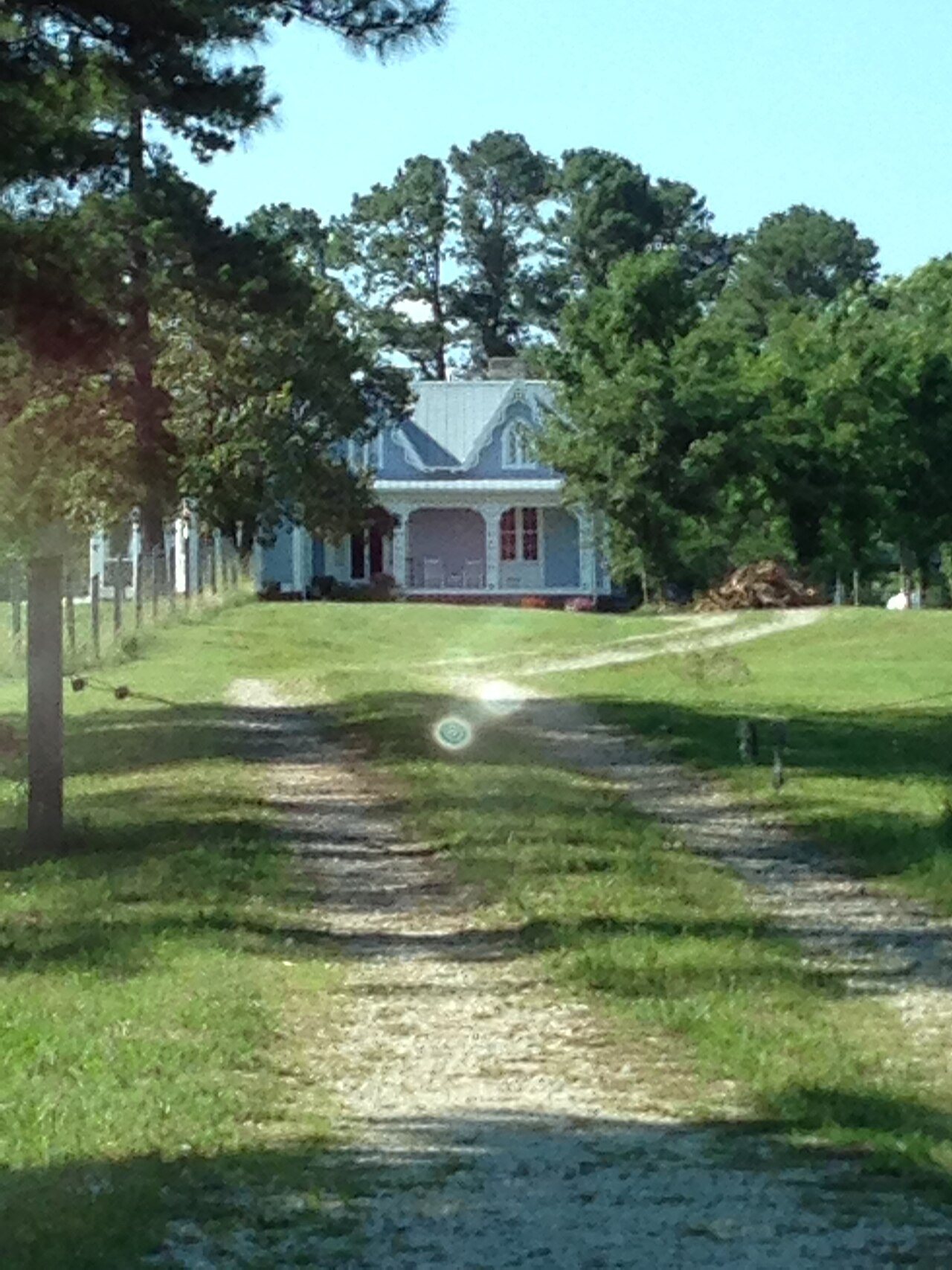
Its Register listings are the Thomas Capehart House, the Josiah Crudup House and the St. James Episcopal Church and Rectory. Below: maps from 1979 on and the census since 1890.
The Kittrell post office opened in 1854, the earliest record of the town by name. Another post office, Staunton (1841), opened inside today’s town and later closed.
First census: 317 in 18902020 census: 132172 years
Founding year: the first Kittrell post office (Blevins & Helbock, CC0).The full story ↓
What stands out about Kittrell’s past
Read from the archive, the National Register and the record. The page puts what stands out first.
Kittrell was chartered in 1885, with its first mayor David Outlaw, a merchant and bachelor. In 1860, one census district in Granville County the primary of the three parent counties (73% of the land area of Vance County was taken from Granville County) of Vance County, was called Kittrell's Depot. Kittrell's Depot was a railroad depot named for George Kittrell and his wife, Elizabeth Boswell Kittrell, who donated the land for a Raleigh and Gaston Railroad station. The first post office for the Kittrell area, with Elisha Overton as its first postmaster, was established in 1854, replacing one in neighboring Stanton in the Epping Forest area which lacked direct railroad access, this establishment occurring shortly after Kittrell's Depot became operational. An 1868 state law required county governments to divide counties into smaller units of townships. Kittrell Township, including the dep…
Founding dates: Wikidata, Wikipedia, the U.S. post office records of Blevins & Helbock (CC0) and the Census. Homes by year built: Census ACS 2020–24. National Register of Historic Places: National Park Service (list of May 22, 2026). Old photos, postcards and papers: Wikimedia Commons, the Library of Congress and other public archives, credited on each item’s page. Maps: U.S. Geological Survey historical topographic maps (via Esri) and Sanborn fire-insurance maps (Library of Congress). History text and census tables: Wikipedia (CC BY-SA 4.0). Places that used to be: USGS Geographic Names Information System (2021). How TownRatings grades history →
From Wikimedia Commons (6), the National Register of Historic Places (3), Wikipedia, Wikidata and Wikipedia for famous people, U.S. Geological Survey historical maps, U.S. Census counts (via Wikipedia), the US Post Offices dataset (Blevins & Helbock) and the USGS Geographic Names Information System. Archive images are copied here with their credits and licenses, shown on each photo’s page. Refreshed monthly.



 2020
 2020
 2020
 2019
 2017
 2017


