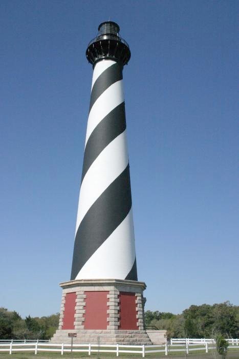
Cape Hatteras Light Station · National Register of Historic Places
Buxton’s story
144 years in pictures
1 place on the National Register of Historic Places.
- 1882Buxton is settled
Each edition grades its towns against each other only.
A town of 1,267, settled in 1882.
The best of Buxton’s subject grades are an A− for walkability and cost of living and an A+ for the outdoors; the weakest is a D− for hazard risk. On hazard risk, just 1 of North Carolina’s 451 towns do worse. 67% of the land in Buxton is conserved, against 3.4% in North Carolina’s towns and 4.3% across U.S. towns. Only 3 of North Carolina’s 451 towns score higher on the outdoors. Cape Hatteras National Seashore, at 2,944 acres with 10.1 miles of trail, is the biggest park or preserve. Buxton has fewer than 2,500 residents, so it gets subject grades but no overall grade.
Where Buxton beats most towns, and one thing worth knowing.
Coastal flooding makes up 11% of the storm damage FEMA expects here.
FEMA National Risk Index · OpenFEMA · OpenStreetMap
Each subject compared with towns across the country (schools within North Carolina), ordered by how far Buxton is from typical.
How TownRatings grades towns →
1 place on the National Register of Historic Places.
Museums, parks, gardens and other places to visit around Buxton. Close and well known come first.
 in town LighthouseCape Hatteras Lighthouse
 in town National SeashoreCape Hatteras National Seashore2.7M visitors a year
 40 mi LighthouseBodie Island Light
 30 mi National SeashoreCape Lookout National Seashore513K visitors a year
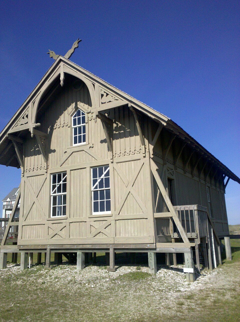 25 mi MuseumChicamacomico Life-Saving Station
Cape Hatteras Lighthouse: Henryhartley, CC BY-SA 3.0 · Cape Hatteras National Seashore: Vbofficial, Public domain · Bodie Island Light: RyanGRodgers, CC BY-SA 3.0 · Cape Lookout National Seashore: Jarek Tuszyński, CC BY 3.0 · Chicamacomico Life-Saving Station: Elizabeth from burlington, CC BY 2.0
Buxton is unincorporated, so Dare County and regional agencies provide most services.
EPA SDWIS (Oct 9, 2026) · HIFLD + EIA-861 2025 · Census 2020 ZCTAs · NCES 2024–25 · registration: vote.gov, updated Nov 18, 2024.
Ordered by what stands out in Buxton.
The density of trails for Buxton comes to 1.3 miles per square mile, where North Carolina’s towns sit at 0.2 and U.S. towns at 0.4. Across 2 parks and preserves: 12 miles of trail. Parks and preserves here: 2, covering 3,627 acres.
| Biggest places to walk | Trails | Acres |
|---|---|---|
| 1. Cape Hatteras National Seashore | 10.1 mi | 2,944 |
| 2. Buxton Woods Coastal Preserve | 0.3 mi | 683 |
Trails & parks © OpenStreetMap contributors · Conserved land: USGS PAD-US
Its two schools are below. The largest public high school is Cape Hatteras Secondary School, with 364 students. Public schools: the Dare County Schools.
| School | Level | Students | Letter |
|---|---|---|---|
| Cape Hatteras Elementary SchoolLargest public elementary schoolGrades PK–5 | Grades PK–5 | 284 | C |
| Cape Hatteras Secondary SchoolLargest public high schoolGrades 6–12 | Grades 6–12 | 364 | B+ |
NCES · EDFacts · graded within NC on state tests and graduation
FEMA puts just over four fifths of Buxton’s expected hazard losses down to hurricanes, and 11% to coastal flooding. Paid flood insurance claims in the town since 1978: 5,690. Households here have drawn federal disaster aid in 3 declared disasters, most recently in 2016.
FEMA flood insurance claims · FEMA disaster declarations and aid · FEMA National Risk Index · OpenFEMA
Among households in Buxton, 74% live in a home they own.
Census ACS, 2020–24 · Zillow Home Value Index · Redfin Data Center
In Buxton, 27% of adults sleep under 7 hours. This North Carolina town does better than the North Carolina average on 11 of 32 CDC measures and worse on 3. Among adults here, 29% feel lonely and 14% report frequent mental distress.
| Buxton | North Carolina towns | U.S. towns | |
|---|---|---|---|
| Sleep under 7 hours (CDC PLACES) | 27% | 34% | 36% |
| Feel lonely (CDC PLACES) | 29% | 33% | 33% |
| Frequent mental distress (CDC PLACES) | 14% | 17% | 17% |
| Food insecurity (CDC PLACES) | 9.4% | 15% | 14% |
| What stands out | Buxton | NC |
|---|---|---|
| Fewer adults facing a utility shut-off | 4.9% | 8.1% |
| Fewer adults facing housing insecurity | 7.5% | 12.2% |
| More adults who have had cancer | 11% | 7.9% |
CDC PLACES 2025 · modeled estimates for adults · CMS · HRSA
In Buxton, the midsummer high is 86°F.
NOAA U.S. Climate Normals, 1991–2020
The median commute is under 23 miles. For working residents in Buxton, the share who work locally is 15%. The top destinations are Avon (16%), Frisco (7%) and Raleigh (6%).
| Buxton | North Carolina towns | U.S. towns | |
|---|---|---|---|
| Average trip to work | 16 minutes | 24 minutes | 25 minutes |
| Working residents who work in town | 15% | 6.8% | 8% |
| Below the poverty line | 6.7% | 13% | 9.6% |
Census LEHD 2023 · ACS
None within 15 miles of Buxton; the nearest are
About 5 of every 100 Buxton residents are enrolled in college, about the same as North Carolina.
In a town this size, neighbors are the best guide. Ask them anything.
Short answers, built from the data on this page.
Not for the area. That is 5.3 years of the area's median household income ($88,994 across the Kill Devil Hills, NC area). Cost of living, which also weighs rents, property taxes and how many households pay 30% or more of their income for housing, grades A−.


