
Bodie Island Light
The current Bodie Island Lighthouse is the third that has stood in this vicinity of Bodie Island on the Outer Banks in North Carolina and was built in 1872. You will find it 5 mi east of Wanchese. It goes back to 1872.

A lighthouse, 5 mi east of Wanchese
Places to stay 1.7 miles away
Oregon Inlet Campground is 1.7 miles away; Geri's Place (2.2 mi) is close too. 2 places to stay are within 4 miles. Hotels nearby ↓
Established in 1872
Bodie Island Light dates from 1872. About ↓
Best months: Apr, May, Jun, Sep, Oct and Nov
April, May, June, September, October and November are the mild months, with highs of 63–83°. When to go ↓
Written from NOAA 1991–2020 normals, Overture places to stay, Census town figures, Wikidata and Wikipedia.
The climate here
The weather near Bodie Island Light shifts through the year, as below.
Bodie Island Light
The current Bodie Island Lighthouse is the third that has stood in this vicinity of Bodie Island on the Outer Banks in North Carolina and was built in 1872. It stands 156 feet (48 m) tall and is located on the Roanoke Sound side of a portion of a peninsula that is the first part of the Cape Hatteras National Seashore. The lighthouse is just south of Nags Head, a few miles before Oregon Inlet. It was renovated from August 2009 to March 2013, and was made climbable by the public. There are 219 steps that spiral to the top. The 170-foot structure is one of only a dozen remaining tall, brick tower lighthouses in the United States — and one of the few with an original first-order Fresnel lens to cast its light.
- Type
- Lighthouse
- Established
- 1872
- Listed
- National Register of Historic Places contributing property (2003)
- Wikipedia readers
- 8.8K a year
Where to sleep by Bodie Island Light
The 4 miles around hold 2 places to stay: a lodge or cabins and a campground. Closest is Oregon Inlet Campground, 1.7 miles away.
Places to stay within 4 miles
- 1Oregon Inlet Campgroundcampground · 1.7 mi southeastDirections
- 2Geri's Placelodge or cabins · 2.2 mi northDirections
- 3Wanchese Inn B & Binn or B&B · 4.3 mi northwestDirections
- 4J P Cottageslodge or cabins · 4.5 mi northDirections
- 5Timothy O Tillett Homeplaceinn or B&B · 4.5 mi westDirections
- 6Island House of Wanchese Bed & Breakfastinn or B&B · 4.9 mi northwestDirections
Compare 8 towns to stay in
| Town | From Bodie Island Light | Drive | Places to stay | People | Typical home | Safety |
|---|---|---|---|---|---|---|
| Nags Head 32% vacation homes | 9 mi north | 15 min | 35 18 hotels · 9 motels · 1 inn or B&B · 7 lodges & cabins | 3,117 | $491K | D |
| Kill Devil Hills 36% vacation homes | 15 mi northwest | 25 min | 48 31 hotels · 4 motels · 7 inns & B&Bs · 2 lodges & cabins · 2 campgrounds · 2 RV parks | 7,731 | $442K | — |
| Manteo 24% vacation homes | 7 mi northwest | 10 min | 17 5 hotels · 2 motels · 7 inns & B&Bs · 2 lodges & cabins · 1 campground | 1,585 | $444K | — |
| Wanchese | 5 mi west | 5 min | 4 3 inns & B&Bs · 1 campground | 1,956 | $312K | — |
| Kitty Hawk 33% vacation homes | 19 mi northwest | 30 min | 19 12 hotels · 2 motels · 1 inn or B&B · 1 lodge or cabins · 1 campground · 2 RV parks | 3,670 | $535K | C+ |
| Rodanthe | 17 mi south | 25 min | 10 5 hotels · 1 motel · 2 inns & B&Bs · 2 campgrounds | 781 | — | — |
| Waves 41% vacation homes | 18 mi south | 25 min | 11 3 hotels · 1 inn or B&B · 1 lodge or cabins · 6 campgrounds | 153 | — | — |
| Duck 47% vacation homes | 28 mi northwest | 40 min | 12 12 hotels | 736 | $768K | — |
Day trip from
Straight-line miles.
Getting there
Nearest airports with airline service
What else is near Bodie Island Light
These well-known places are within 65 miles.
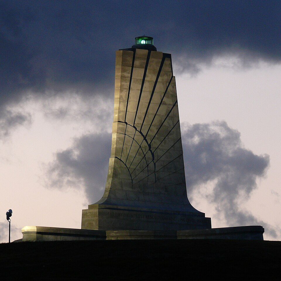 15 mi National MemorialWright Brothers National Memorial342K visitors a year
 39 mi LighthouseCape Hatteras Lighthouse
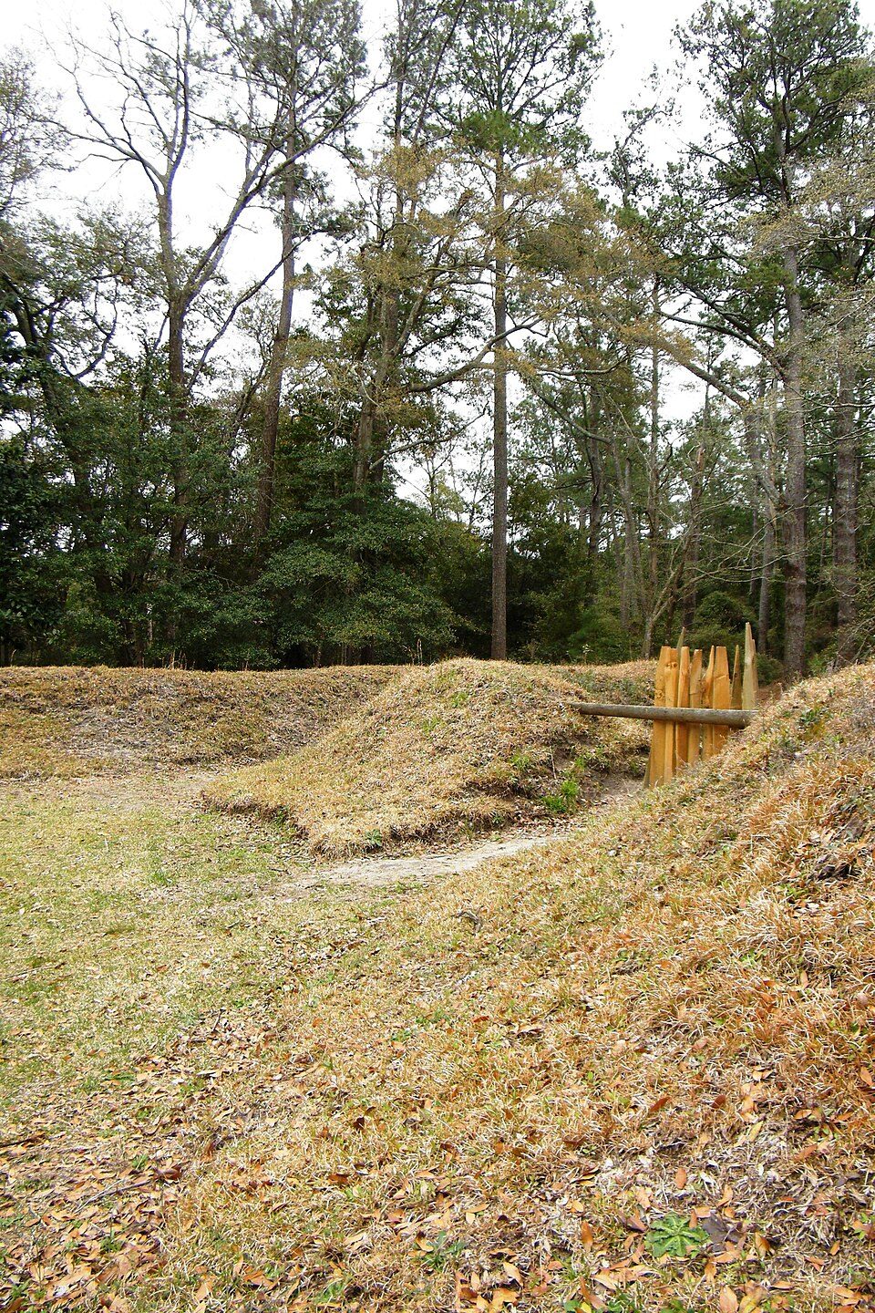 12 mi National Historic SiteFort Raleigh National Historic Site267K visitors a year
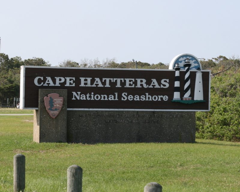 36 mi National SeashoreCape Hatteras National Seashore2.7M visitors a year
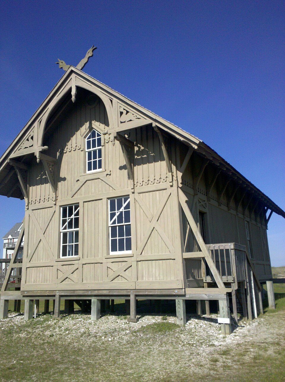 16 mi MuseumChicamacomico Life-Saving Station
 65 mi MuseumMilitary Aviation Museum
 62 mi Zoo & aquariumEdenton National Fish Hatchery
Photo credits
Wright Brothers National Memorial: Ken Thomas, Public domain · Cape Hatteras Lighthouse: Henryhartley, CC BY-SA 3.0 · Fort Raleigh National Historic Site: Sarah Stierch, CC BY 4.0 · Cape Hatteras National Seashore: Vbofficial, Public domain · Chicamacomico Life-Saving Station: Elizabeth from burlington, CC BY 2.0 · Military Aviation Museum: Jnc, CC BY-SA 3.0 · Edenton National Fish Hatchery: USFWS, Public domain


Questions about Bodie Island Light
What town is Bodie Island Light near?
Wanchese, NC, about 5 miles west.
When is the best time to visit Bodie Island Light?
April, May, June, September, October and November, with highs of 63–83°.
How far is Bodie Island Light from Virginia Beach?
About 71 miles north of Virginia Beach, as the crow flies.
What is the closest airport to Bodie Island Light?
Norfolk (ORF), about 82 miles away.
What hotels are near Bodie Island Light?
Oregon Inlet Campground (1.7 mi), Geri's Place (2.2 mi) and Wanchese Inn B & B (4.3 mi). 2 places to stay are within 4 miles.
Tips for visiting, from Wanchese
Be the first to share a tip in Wanchese’s Town Square.
Sources: National Park Service · ski areas © OpenSkiMap / OpenStreetMap contributors · Wikidata · Wikipedia readership · NOAA climate normals · U.S. Census.